OS Open Zoomstack
What OS Open Zoomstack provides you with
A single data file
The data is available in just one single file and provided in easy-to-use formats to help you get started quickly.
High-definition mapping
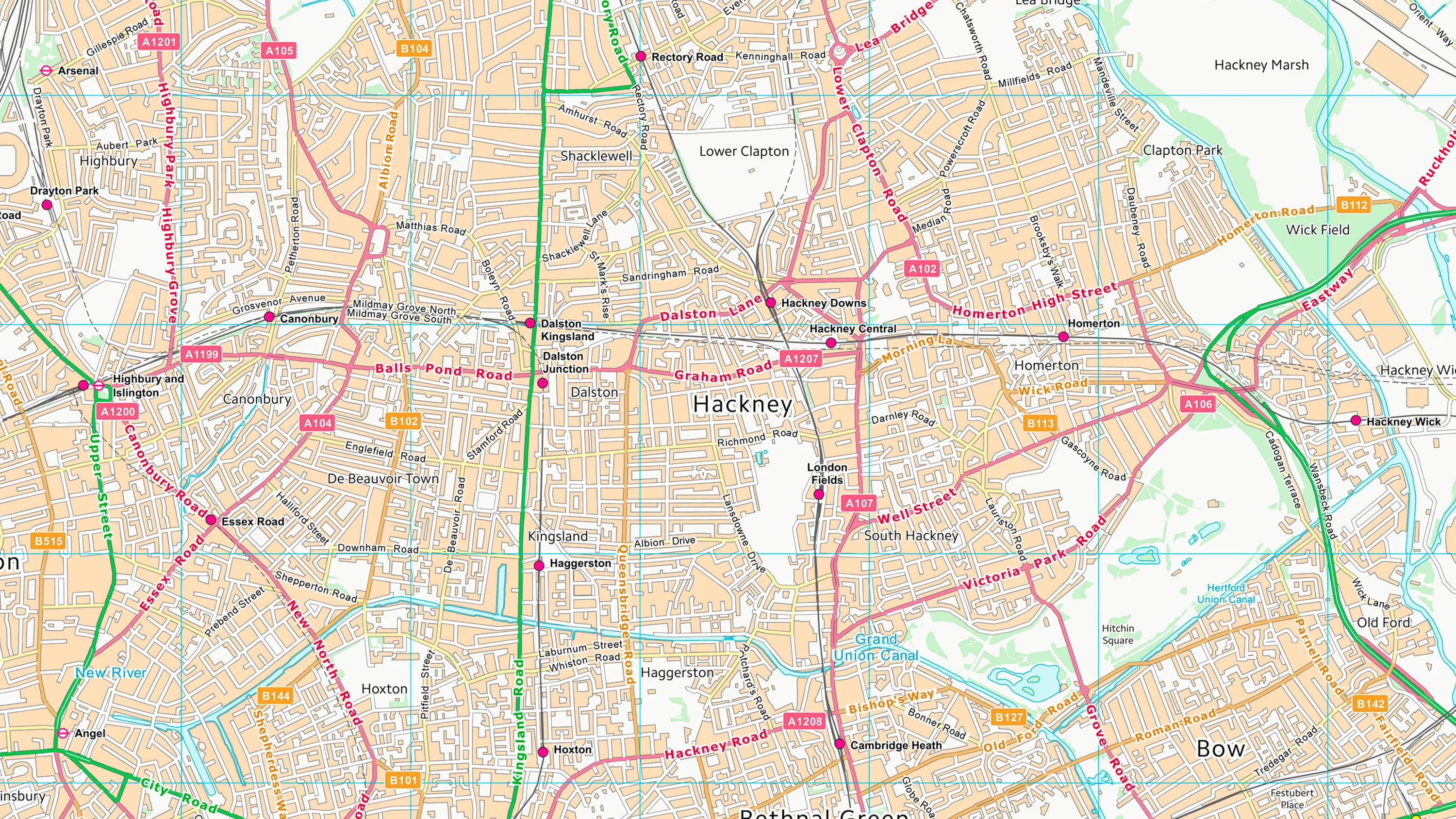
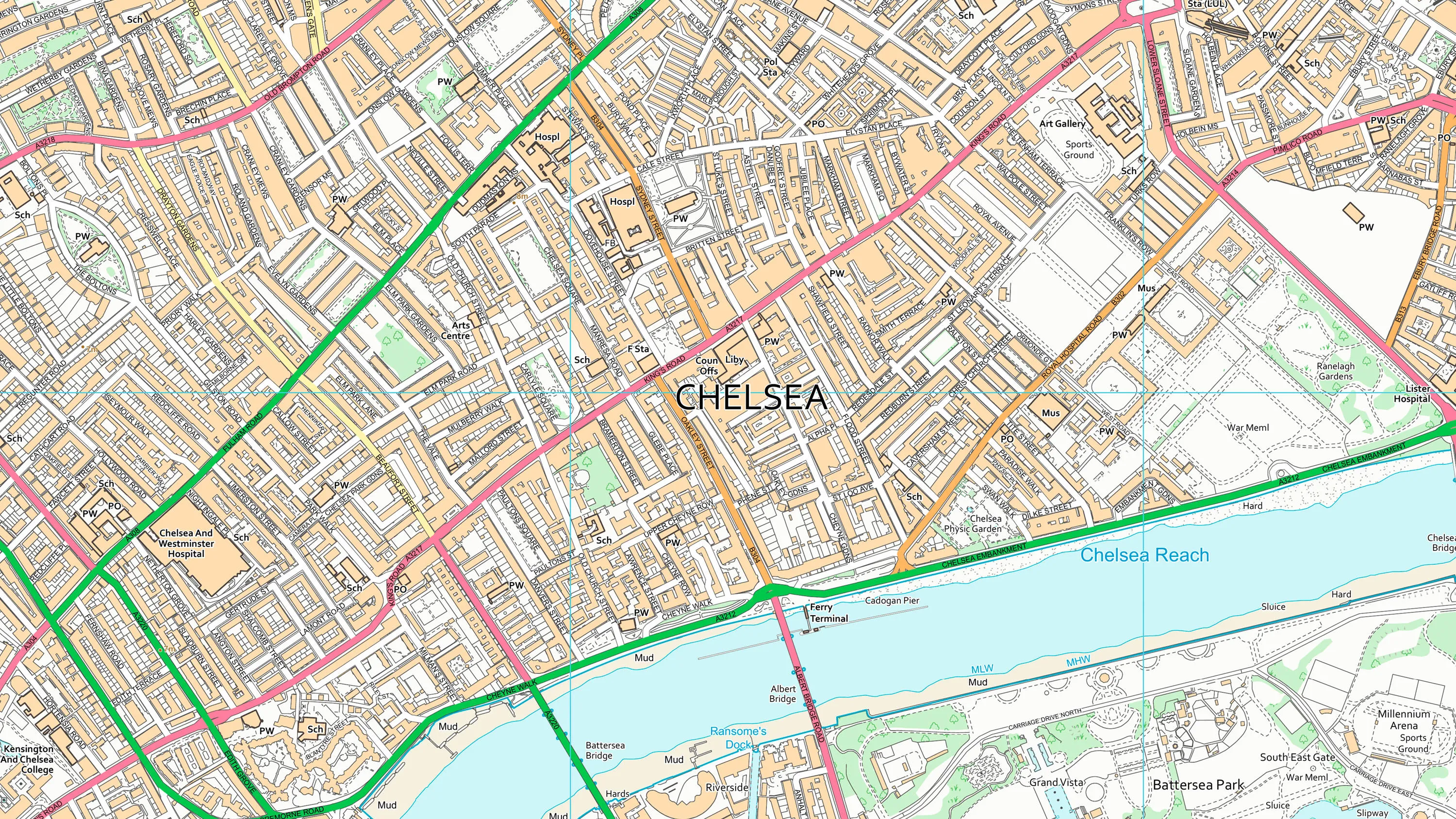
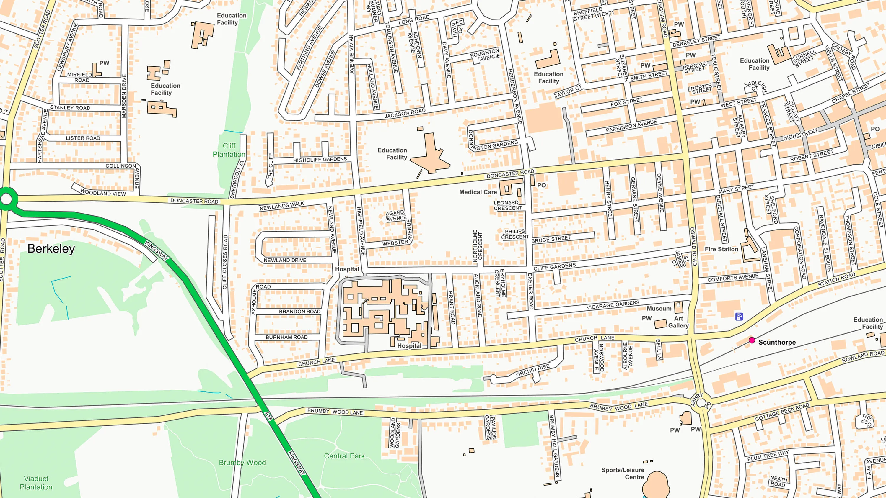
Vector Map Tiles contain actual data, not just images, which can be interrogated and analysed. The high-definition mapping also renders quickly, giving a seamless experience.
National coverage
OS Open Zoomstack gives you consistent mapping content across the whole of Great Britain. Zoom out for an overview or zoom in to get street level detail.
Variety of mapping features
By combining elements of OS OpenData, OS Open Zoomstack offers a variety of mapping features, including buildings greenspaces and contours.
Map with style
OS Open Zoomstack is supplied with four beautiful cartographic styles. You can also create your own look and feel by customising the cartography.
Use cases
- Use as a basemap in GIS, interactive web maps or mobile apps.
- Integrate your own data to give it geographic context.
- Customise the style and content to make your perfect map.
Additional information
You can overlay and include third party data in your GIS
For example, Axis Maps used OS Open Zoomstack and Land Registry data to create this interactive house prices map.
Related products
OS VectorMap District
OS VectorMap District is an open basemap to overlay and visualise your own information on.
OS VectorMap Local
OS VectorMap Local is a highly-detailed, customisable, street-level map, showing fences, building outlines, paths and street names.
OS OpenMap - Local
OS OpenMap Local is an open dataset of detailed, street-level mapping of Great Britain.