Insights
Explore expert geospatial insight and thought leadership
Filters (1)
Page 1
How OS can support in meeting clean energy demand
With OS data and OS Partner, electricity companies can access geographic intelligence, enabling more efficient planning and deployment of renewable assets.
- Insight
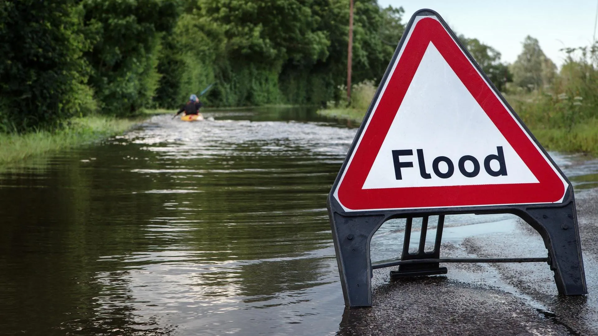
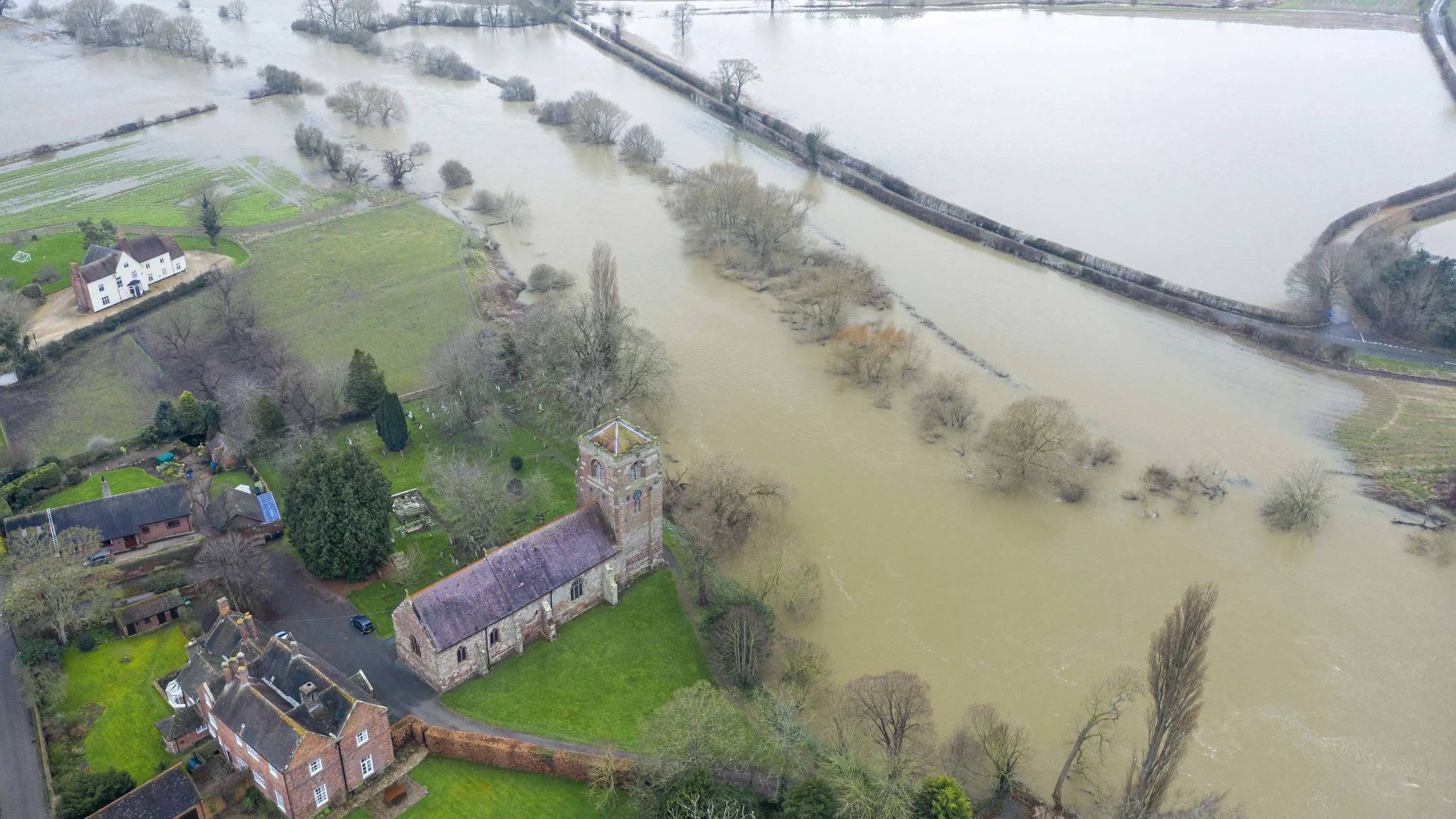
Climate-related flooding events threaten to cut off more towns and commuter routes across England
Ordnance Survey has identified road and rail pinch points most vulnerable to river and sea flooding.
- Insight
How location data can help identify hard to heat homes in Britain
A heat index of more than 23 million homes across Great Britain has been created using Ordnance Survey data, highlighting areas where homes are most at risk of heat loss.
- Insight
Meeting the Bank of England climate standards with OS location data
How insurance and retail banking organisations can use location data to manage climate-related risks, in line with Bank of England expectations and compliance due June 2026.
- Insight
Tracking environmental impact
Discover how location and earth observation data can be combined to better understand how our planet is changing and develop potential solutions.
- Insight
Walkable cities: the 20-minute neighbourhood
The '20-minute city,' a new and relatively simple concept with capacity to improve health outcomes, and quality of life.
- Insight
2023 predictions - The role of location data and the positive impact on sustainability
Donna Lyndsay, OS's Strategic Market Lead Environment and Sustainability, talks about her predictions for 2023.
- Insight
Britain is heating up – how heat mapping can support change
OS is working with the UK Space Agency and the National Centre for Earth Observation to provide meaningful insights to manage the impact of climate change.
- Insight
The role of trusted location data in Environmental, Social and Governance (ESG)
Discover how the development of ESG considerations can benefit from the inclusion of trusted and authoritative geospatial data.
- Insight