Exploring the potential demand for heating homes using disused coal mine water
Ordnance Survey collaborated with the Coal Authority by proving direct support and data
Press Office
Specifically, the project explored the types of buildings and the demand for heating and cooling in coalfield areas with support provided from the Department for Energy Security and Net Zero, and the Geospatial Commission.
Recovering heat from mine water is a proven technology, and could provide a sustainable, secure, and low-carbon heat resource for homes, offices, industry, and agriculture. OS, Great Britain’s national mapping service, provided the Coal Authority with geospatial support, and accurate location and addressing data from the OS National Geographic Database (NGD), to quantify just how many homes, businesses, and buildings could potentially benefit.
The initial results showed that there are just over six million homes, and over 300,000 offices and businesses above abandoned coal mines, although it is too early to say exactly just how many of these addresses could ultimately benefit. The Coal Authority hopes that sharing this information will open up conversations with local authorities and developers who are looking into decarbonising their heating supply, and inspire them to consider mine water heat.
"Location data is fundamental to addressing some of the biggest challenges we face. Thanks to OS, we have maximised our use of their data, paving the way for local authorities and organisations to consider mine water heat as part of their low carbon aspirations more easily. Our hope is that this will ultimately benefit the environment and the lives of thousands of people across Great Britain."
How mine water heating works
Mine water heat works by pumping water from flooded mine workings underground and bringing it to the surface. This water is already warm because it has been heated by geothermal energy. Heat exchangers and heat pumps on the surface recover this heat and boost the temperature further to heat up a clean loop of water (no mine water enters properties), transferring this heat into buildings for everyday use. Heat pumps are paramount to taking advantage of mine water heat, as their efficiency means for every unit of electricity used to recover the heat from the mine water they output anywhere from three to five times as much heat.
After heat recovery, the now cooler mine water is returned back underground, and the water slowly filters back through the flooded mine system and warms back up ready to be used again. This circulation system can provide affordable and secure heat as well as help the UK achieve its net zero targets by 2050.
A proven concept – the mine water heating scheme in Gateshead
Since spring last year, 350 homes, council- and privately-owned offices, a college, and an arts centre in Gateshead have been supplied with heating by a mine water heat scheme. This has demonstrated how British homes, businesses, and industry can be served by the technology that recovers this heat. This makes a positive impact toward decarbonisation of heat; a major global challenge where heating homes, buildings, and water accounts for over 40% of Great Britain’s energy consumption and around 20% of our greenhouse gas emissions, according to 2021 Department for Energy Security and Net Zero statistics.
Over 60 local authorities in England, Scotland, and Wales contain recorded mine workings and are classed as Priority 1 “Levelling Up” areas. Mine water heat could drive world-class innovation in these areas, supporting the road to net zero in numerous settlements and cities once founded on a history and heritage of coal mining.
John Kimmance, Managing Director of National Mapping Services at OS, said:
“With so much emphasis around climate change and finding a means for a sustainable future, it is really important for OS to be able to support a low-carbon heat project like this.
“Our data has been used to support the effective mapping of heating and cooling demand across the coal workings areas, providing a way to quickly understand and analyse the distribution of infrastructure and development, and seeing which areas could benefit most from the initiative. This project has reinforced the critical role that location data plays in supporting sustainability projects, and highlights how we can drive change for the future."
Richard Bond, Innovation and Engagement Director at the Coal Authority, said:
"We are delighted to have worked with OS, which has been so helpful in identifying which areas would benefit the most from this secure, low-carbon mine water heat initiative.
"We know from schemes, such as the recently commissioned Gateshead mine heat network, that this works in the UK. The wider associated benefits of low-carbon heat, levelling up, green jobs, and energy security will be very positive for Great Britain in many ways."
OS was able to provide the Coal Authority with its authoritative data and the dedicated expertise of a specialist employee thanks to the Public Sector Geospatial Agreement (PSGA). The Coal Authority identified that location data is critical to achieving their objectives and through this collaboration. AddressBase Plus, the OS NGD API – Features and datasets including OS NGD Land Use, OS NGD Named Features, and OS NGD Boundaries were used to support the project.
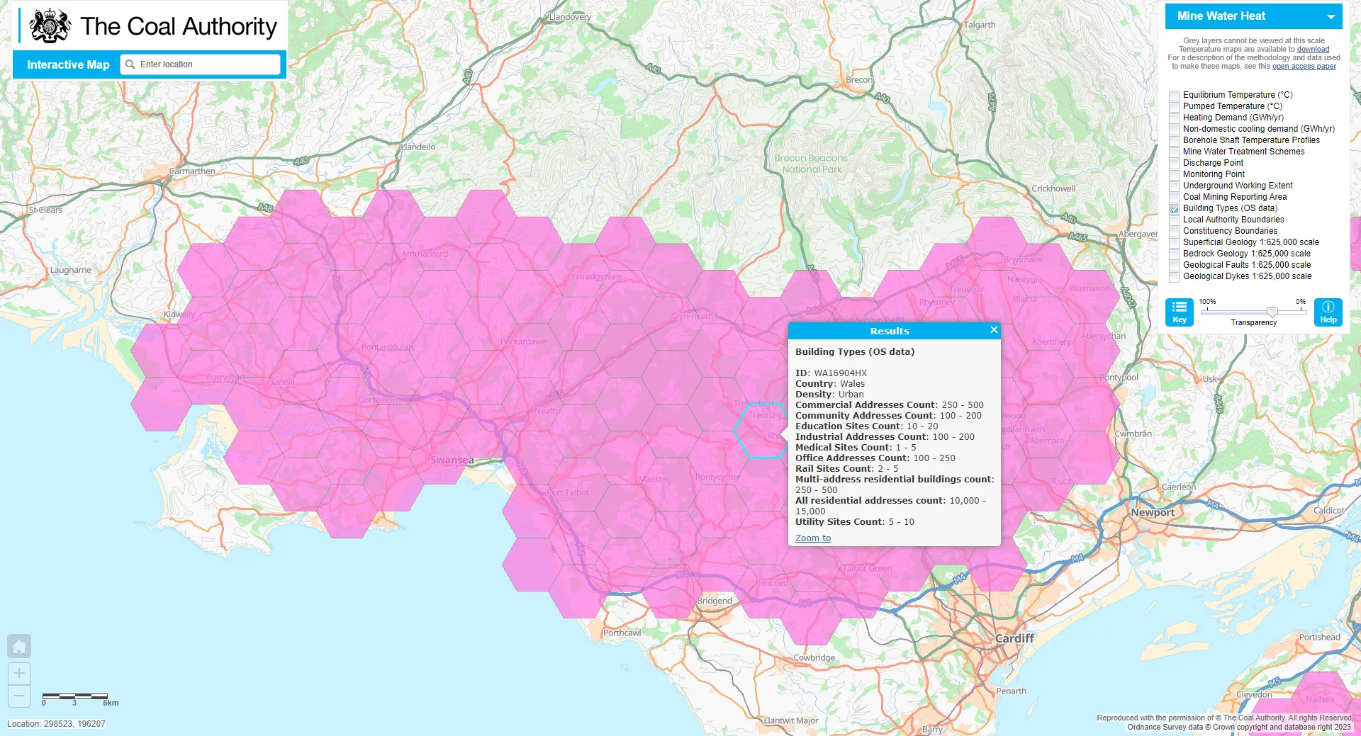
The data from this new project can be viewed on the interactive map viewer on the Coal Authority website.
Sharing the latest news about OS. We can license you to use OS maps in print, online and film format. For more information and resources for journalists, bloggers and media professionals, email pressoffice@os.uk or call 023 8005 5565.
Register your organisation for the PSGA
Public sector organisations can start making full use of OS data and services when they register for the PSGA
Products and solutions featured in this news article
OS NGD API – Features
Perform powerful geospatial analysis. Filter the data to receive exactly what you need, as and when you need it.
Find more news
- PSGA members
- Partners
- Government and public sector
- Utilities