Ordnance Survey builds on military heritage with new Armed Forces network
Press Office
Veterans and reservists are already welcomed into careers at OS as part of the team, recognising that they bring with them valuable skills, knowledge, and experience. With that comes a commitment from OS to recognise the experiences and pressures which may affect them, and to provide the support and development they need in the workplace. For reservists, this also means accommodating their training and deployment where possible; and for veterans, this means supporting their transition into civilian life. The network also welcomes any employee who has a family member in the military, understanding the extra pressures they may be under when loved ones deploy.
For the wider OS business, the network aims to enhance its collective sense of awareness and pride in its Armed Forces community through sharing stories from its veterans, reservists, and military families, and to promote opportunities to connect through volunteering and support.
"As a reservist in the RAF, the support I've had from Ordnance Survey has allowed me both to develop myself and give back to my country. Being able to share my experiences with a network like this demonstrates the value that a Forces connection can have - in whatever shape that connection takes."

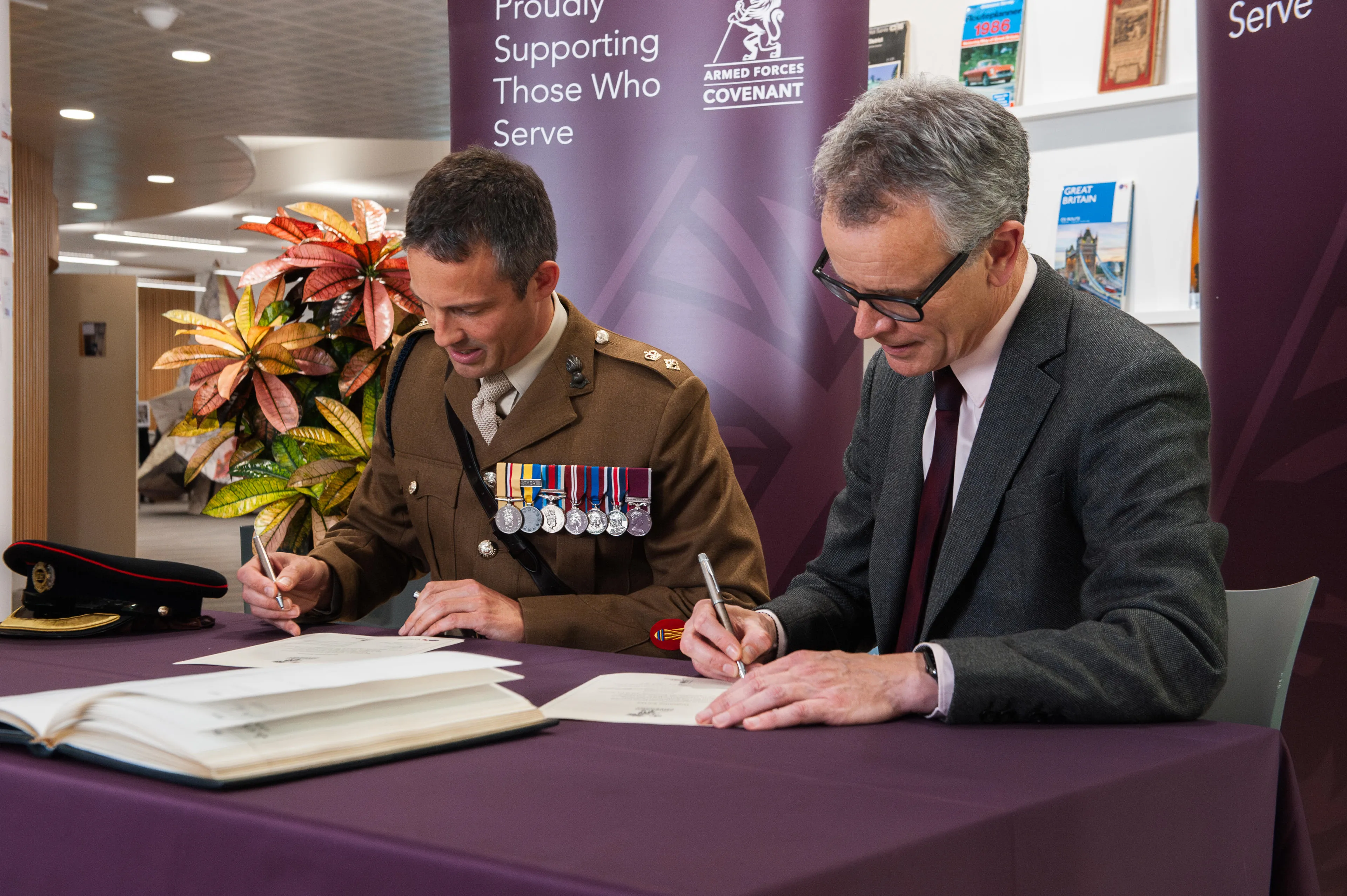
An event was held at OS’s Head Office, Explorer House, to celebrate the network and reaffirm OS’s commitment to its armed forces community with the ceremonial signing of the Armed Forces Covenant. Representatives from local reservist and cadet units also came to support the event.
Nick Bolton, Chief Executive Officer of OS, signed the covenant with Lieutenant Colonel Alex Mayes, Commanding Officer 42 Engineer Regiment (Geographic), on behalf of the National Centre for Geospatial Intelligence.
Nick said:
"We are absolutely committed to supporting a diverse workforce at Ordnance Survey and I am therefore delighted to celebrate our new Armed Forces Network. It is really important to recognise the valuable skills, knowledge, and experience that former and existing Armed Forces personnel bring, particularly in the areas of technology and innovation. We are excited to see how this network will further enhance the expertise and critical skills which OS needs to continuously support our customers."
OS has also recently been recognised with a silver award from the Ministry of Defence's Employee Recognition Scheme (ERS). This recognises OS as a leader in promoting veterans’ employment and supporting the armed forces community. OS is continuing to work towards the gold award.
OS’s military links
OS has a deep connection with the military dating back to 18th century when a young engineer named William Roy was tasked with creating a detailed map of the Scottish Highlands. This project took eight years to complete and laid the foundation for modern surveying techniques. In 1791, the Board of Ordnance, the defence ministry of the time, officially established OS to map the entire country, starting with mapping Kent. This was essential for planning defences and troop movements.
Britain’s entry into the First World War saw an explosion in demand for OS maps, as surveyors plotted the lines of trenches, artillery gun emplacements, machine gun positions, and batteries for both allies and the enemy in France and Belgium. For the first time, aerial photography was used to take pictures over enemy lines. Staff were moved close to the front and a map-making factory was built to produce the maps. At its height over 300,000 battlefield maps were produced every week there, and over 33 million maps were made between 1914 and 1918. A team of 43 women joined the unit of 103 civilian men in the operation, which was the envy of the mapping world at the time and established OS’s reputation for accuracy on the global stage.
During the Second World War, the development of the paper maps that OS are known for today was paused, as OS reverted to a war production footing. OS printed over 300 million maps throughout the war, overcoming the bombing of its Southampton HQ by relocating to the Home Counties to play its part in the war effort.
Today, OS continues to support the Ministry of Defence by providing essential geospatial data and mapping services. In February this year, OS location data supported both police and the military during the emergency response to an unexploded bomb in Plymouth - How mapping supported risk analysis for Plymouth evacuation.
For further information about career opportunities at OS, please visit Careers | Home | OS
Sharing the latest news about OS. We can license you to use OS maps in print, online and film format. For more information and resources for journalists, bloggers and media professionals, email pressoffice@os.uk or call 023 8005 5565.