The next phase in NUAR’s development is here
Learn how the latest NUAR developments are taking the service a step further to being operational by the end of 2025
Restrictions on user numbers removed
This change means the limits on user numbers are lifted - previously users were capped per organisation.
With no restrictions on users, utility providers and their contractors can now choose to use NUAR as their primary means of accessing underground asset data. Responsibility for deciding on how and when NUAR is used as a component of safe dig processes remains with those carrying out excavations.
In another major development, Openreach has become the latest asset owner to agree to share their data in NUAR which we expect to become available over the coming months. With the most extensive fibre and fastest growing digital network in the country, this will be a significant addition to the platform that will take the total distance of buried assets mapped by NUAR to well over 3 million kms, representing more than 300 different asset owners.
NUAR’s evolution continues
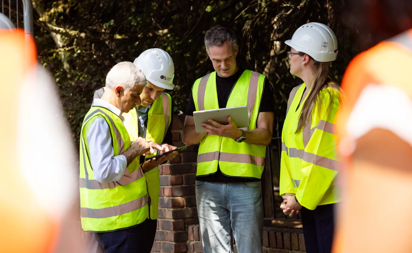
NUAR therefore provides one of the most comprehensive and authoritative datasets of underground pipes and cables in England, Wales and Northern Ireland, including the networks of all major gas, electricity and water providers, alongside a significant proportion of all telecommunication networks. All integrated into a single online map.
Users can get that information instantly, any time of the day, any day of the year. This means planners and excavators get access to the data they need, when they need it, to carry out their work effectively and safely, reducing the time taken to access underground data from an average of six days pre-NUAR to 60 seconds.
What’s more, this next phase means that asset owners can now choose NUAR as the main channel to fulfil their legal obligations to provide asset records to statutory undertakers.
Additional enhancements released
To coincide with the shift into public beta, a range of other enhancements have also been rolled out. These include:
- New quick access coverage list in the map view which allows users to see at a glance all the Asset Owners which NUAR holds for their operational area, allowing rapid confirmation that NUAR will provide the data they need at the click of a button.
- Clear labelling of every pipe, cable cabinet etc with how recently that data was refreshed, allowing users to make quick, well-informed judgements on how current the data they are using for their safe dig decision-making.
- Data currency dashboard for administrators which reports the percentage of Asset Owners who have refreshed their data according to the agreed update schedules making the management of data refreshes quicker and simpler.
- For Northern Ireland users: backdrop mapping will now be available at a similar ‘up-time’ rate as the service in England and Wales (99.5% or higher). Additionally, the mapping will use lighter styling to make utility assets stand out more clearly. Users will also now be able to switch to a high contrast mode to enhance visibility in poor lighting situations such as direct sunlight.
What’s next?
The NUAR platform has already been scaled and made more resilient in advance of the removal of restrictions on user numbers and currently operates with an uptime exceeding 99.5%. We will continue to strengthen the reliability and scalability of the service as usage of the platform accelerates.
We're continually collecting user feedback and over the next six months as NUAR heads towards becoming operational, the focus for functional enhancements will be on providing notifications of works as well as incremental improvements to the PDFs.
Access across England, Wales and Northern Ireland will also be enabled for National Asset Owners as well as opening up the platform for Tier 2 contractors to securely access underground data.
NUAR on a statutory footing
To cap off a busy period for NUAR, the Data (Use and Access) Act achieved Royal Assent. This puts NUAR on a statutory footing and updates the existing legislation which governs the sharing of underground asset information. While there are no immediate changes as a result of the Bill, it will allow NUAR to serve as a comprehensive statutory register of asset information and contains measures to allow it to be operated sustainably into the future. Learn more about the legislation on the Government Digital Service Geospatial Insights blog.
Watch the video below to learn more about NUAR.

Our highly accurate geospatial data and printed maps help individuals, governments and companies to understand the world, both in Britain and overseas.
Find more blog articles
- Announcements
- Built environment
- Connectivity
- Infrastructure
- National Underground Asset Register
- Utilities
- Telecoms