Cycle Lane planning enhanced with OS data
ATE's mission to make walking, wheeling, and cycling the natural choice for short trips nationwide relies on accurate and high-resolution data. Active modes (walking, cycling, etc.) are by nature shorter in distance and require more attention to detail than motorised modes. A difference of a few millimetres in the grade separation between the carriageway and a pavement ramp can make a huge difference to people with reduced mobility. And just a 10cm difference in path width can mean the difference between being safe, or not.
Reliable evidence is vital for effective decision-making. In transport planning, evidence can come from a range of places, including local knowledge, transport models and, increasingly, geographic datasets describing transport infrastructure and mobility patterns.
A new travel analysis tool
ATE supports Local Authorities with both the funding and development of various schemes. In order to assess whether the schemes are safe and viable, ATE needed a platform to host all active travel related data, which could then be used to analyse the routes.
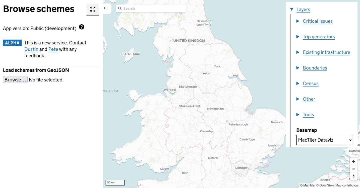
The Active Travel Scheme Browser was developed as both an internal and external tool, allowing users to view planned interventions in context. The open access, External Scheme Browser tool provides multiple layers to users needing reliable local evidence related to active travel.
ATE has also developed a private version of the browser tool, to allow internal users to see valuable datasets not in the public domain. These include datasets from Ordnance Survey (OS).
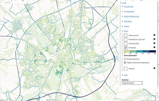
ATE used the OS NGD Speeds data and the OS NGD Road Widths data in order to understand the average speed of a road, as well as which roads were wide enough to plan for a cycle lane.
The data provided ATE with additional insight so they could safely assess which roads should receive funding for cycle lane planning. The Active Travel Scheme Browser is an asset for enabling active travel, encouraging people to get outside, help improve air quality, and make informed decisions.
Sustainability at OS
OS is committed to being a sustainable organisation, and our focus looks inward as well as outwards. While we help our customers build their own greener solutions, we also manage our own products and processes to ensure a more positive impact on the environment.

Our highly accurate geospatial data and printed maps help individuals, governments and companies to understand the world, both in Britain and overseas.