Blog
Read location data and geography related stories and commentary
Filters (1)
Page 1
Cycle Lane planning enhanced with OS data
The Active Travel Scheme Browser is an asset for enabling active travel, encouraging people to get outside, help improve air quality, and make informed decisions.
- Blog
Analysing pavement widths using OS Select+Build
Examining the methodology behind the creation of pavement widths data.
- Blog
OS co-launches research alliance to shape the development of highways
Ordnance Survey has co-launched a research alliance with 21 other organisations to help shape the development of innovation in the highways industry.
- Blog
Scottish Street Gazetteer data added to OS MasterMap Highways Network and OS Open USRN for first time
Scottish Street Gazeeter data is available in OS MasterMap Highways Network and OS Open USRN products for first time.
- Blog
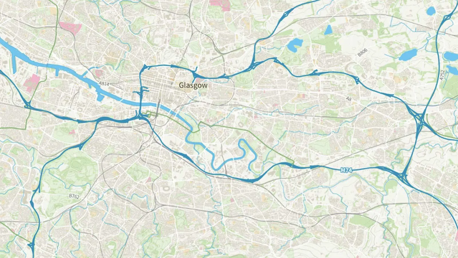
Britain’s most complex motorway junctions
Lucie Woellenstein, Graduate Data Scientist here at OS, explores Britain’s most complex motorway junctions through data visualisation.
- Blog
Ordnance Survey brings road network data up to speed
Ordnance Survey (OS) is adding new datasets about vehicle speeds and speed limits in its mapping to help transport planners plot quicker journey times.
- Blog
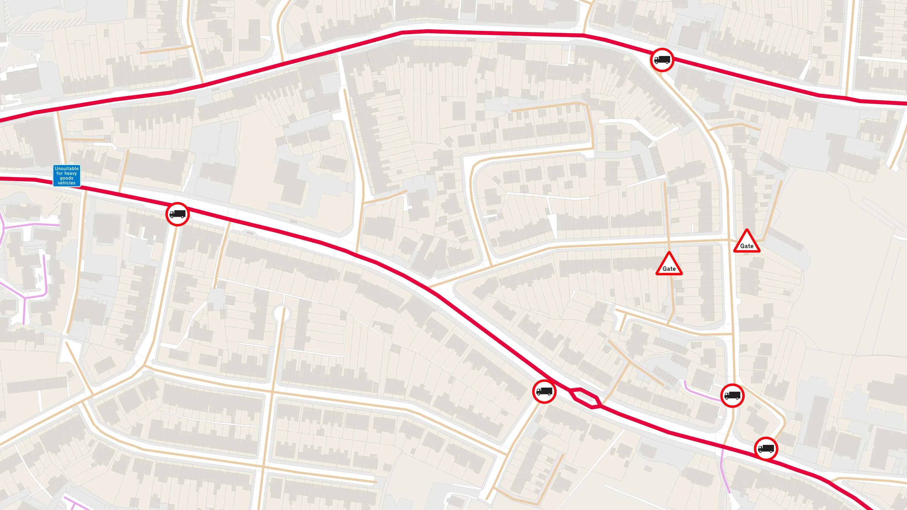
How can OS data help with safe routing for HGVs?
What’s the latest on the digital road map plan and which product is best for those wanting safe routing for HGVs?
- Blog