How Field Dynamics harnessed OS data to innovate green solutions
How access to OS data has helped Field Dynamics create green solutions for British households
Households can be defined as any residential property with a postbox, so this definition applies to a flat in a high rise building or a country house. Clearly, these two properties, and everything in between, will face unique challenges when it comes to adopting net zero technologies. Heat pumps, for example, are great for reducing energy consumption, but they are large, require a reasonable amount of outside space for installation, and can be noisy. Solar panels also require a good amount of roof space, which many properties simply do not have.
Extending beyond the home, though not too far, motorists that want to switch to an electric vehicle (EV) to reduce their environmental impact also face a problem when it comes to charging. There is a significant shortage of properties that have an off-street space for such a vehicle.
Clearly, the prerequisites for adopting green technologies bar a great deal of the nation’s households from becoming more energy efficient. This is why Field Dynamics, and others, are developing data-led solutions, underpinned by OS Data, that will lay the foundation for a greener future. Using OS Data, Field Dynamics have created a fully flexible, hyper-granular model of every household in the UK. This model, which was cited in a recent Geospatial Commission report, can be used to analyse multiple net zero solutions and help overcome some of the key planning barriers standing in the way of mass adoption.
The EV challenge
For EV adoption, the tool assesses the number of properties across Great Britain that have at least a 21.1m2 rectangle of adjacent outside space that is easily accessible from a road. If this is the case, the property has the potential to accommodate an EV.
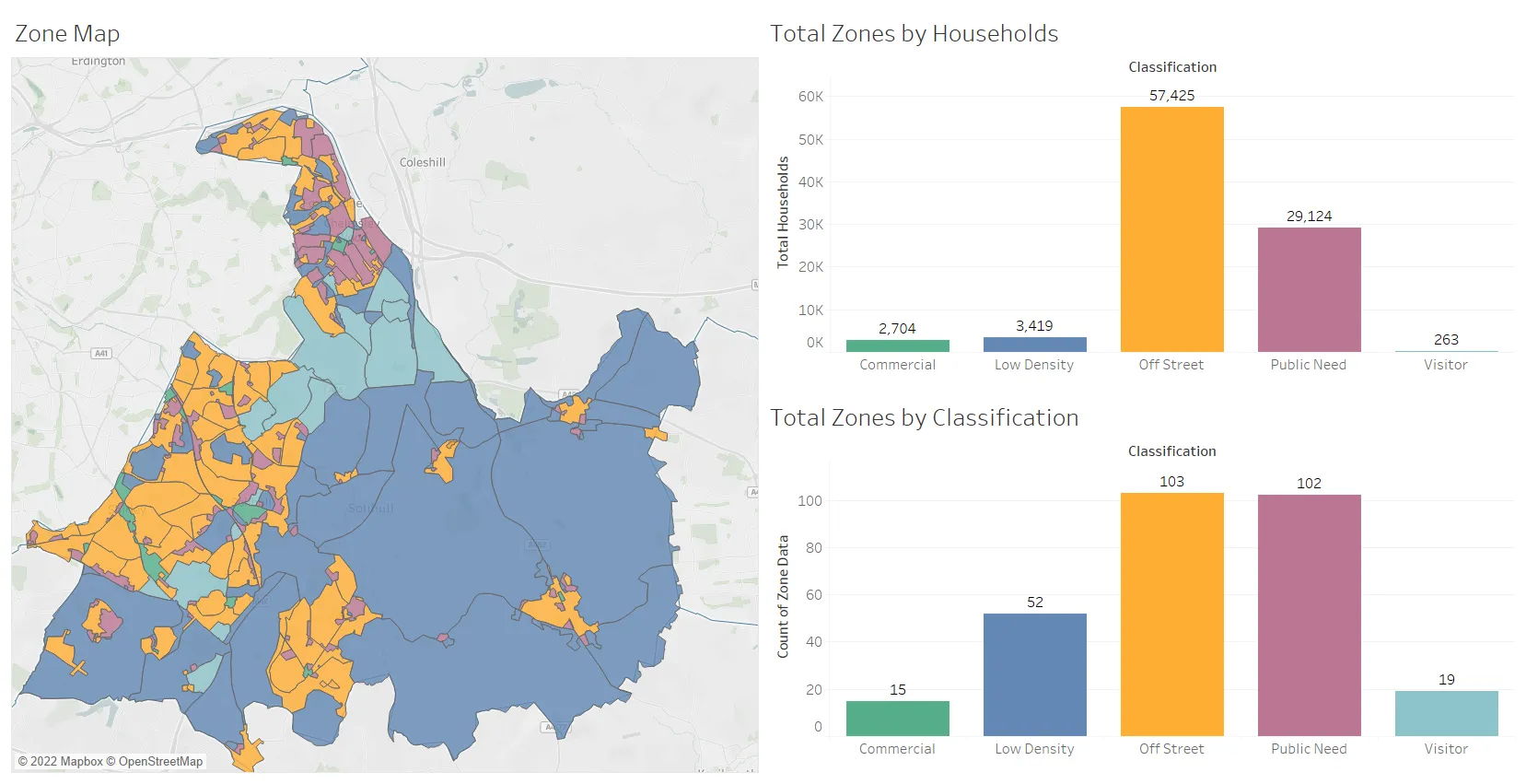
By assessing these properties, Field Dynamics can provide organisations with data on the potential prevalence of EVs at a local, regional and national level. This is particularly useful for distribution network operators (DNOs) that need to understand the projected energy demands of an area when it comes to planning infrastructure. Using OS AddressBase Field Dynamics can understand the number of households in any given location, as well as the level of occupancy. They also use the OS MasterMap Topography Layer to identify property types, boundaries, adjacent roads, footpaths and pavements. On top of that data, Field Dynamics have established logic that helps to uncover the deeper context and relationship between features, such as homes, driveways, and adjacent grass verges, so that the potential EV charging landscape is fully understood.
Current planning regulations across the UK prohibit several situations that would accommodate the required space for EVs. With Field Dynamics’s EV planning tool, the assumption is that these regulations will change, based on the indisputable fact that this will have to be the case if the UK is to phase out internal combustion engine (ICE) vehicles entirely by 2035, which the current government has committed to doing. It is estimated that between 1% and 2% of the total number of vehicles in the UK today are EVs. As EV adoption accelerates, in line with the growth of the used car market and the arrival of more affordable options, the infrastructure needed to support EVs, which includes charging points, is high on the agenda.
The heat is on
Field Dynamic’s energy-focused solution seeks to understand how building ownership will affect the heating demand of a property. Homeowners living in detached properties have many options available to them for making their home more efficient. Underfloor heating delivered by heat pumps, for example, is a great option for increasing heating efficiency but the disruption and cost of installation is entirely the homeowner’s right to bear. Those in rented accommodation have far fewer options, as a landlord is unlikely to disrupt a key source of income to make significant energy-saving alterations to their property, as they are not responsible for the energy usage of their tenants, nor their energy bills.
This OS Data derived solution provides us with a super accurate understanding of the 3D structure of a property. We can then combine this with a building’s age and efficiency data to provide a good guide of the heat energy required.
When combined with other datasets (such as ownership and grid connection) energy companies, DNOs, local authorities and government departments can understand the current heat and energy demands of homes within a certain area. Once this is assessed, it is possible to understand the type of energy-saving initiatives these properties might be able to accommodate. An example of this is the Scottish Government’s mooted plans to mandate an Energy Performance Certificate (EPC) of ‘C’ and above for those wanting to sell their homes. By understanding the full energy context of each property, it is possible to estimate the level of investment needed across the country and introduce policies that help homeowners meet and exceed the minimum requirements.
The power of geospatial data, and specifically OS’s leading datasets, make such tools and insights possible. Ultimately, drastic changes are required if we are to meet our climate commitments and ensure people are living in energy efficient, cost-effective circumstances. However, drastic change does not have to mean mass upheaval. Data is the key to validating progressive building regulations and environmental policies. Data is also the essential driver behind the innovative tools and technologies that we will need to overcome our energy challenges.
Explore OS Data
Learn about the geospatial data you can get and the plans available
Our data platform provides access to all Ordnance Survey datasets through a suite of APIs and data downloads.

Our highly accurate geospatial data and printed maps help individuals, governments and companies to understand the world, both in Britain and overseas.
Products and solutions featured in this blog
OS MasterMap Topography Layer
OS MasterMap Topography layer provides a map dataset of Great Britain's landscape – from roads to fields, to buildings and trees, fences, paths and more.
Find more blog articles
- Electric vehicles
- Sustainability
- Developers
- General public
- Land and property
- Great Britain
- United Kingdom