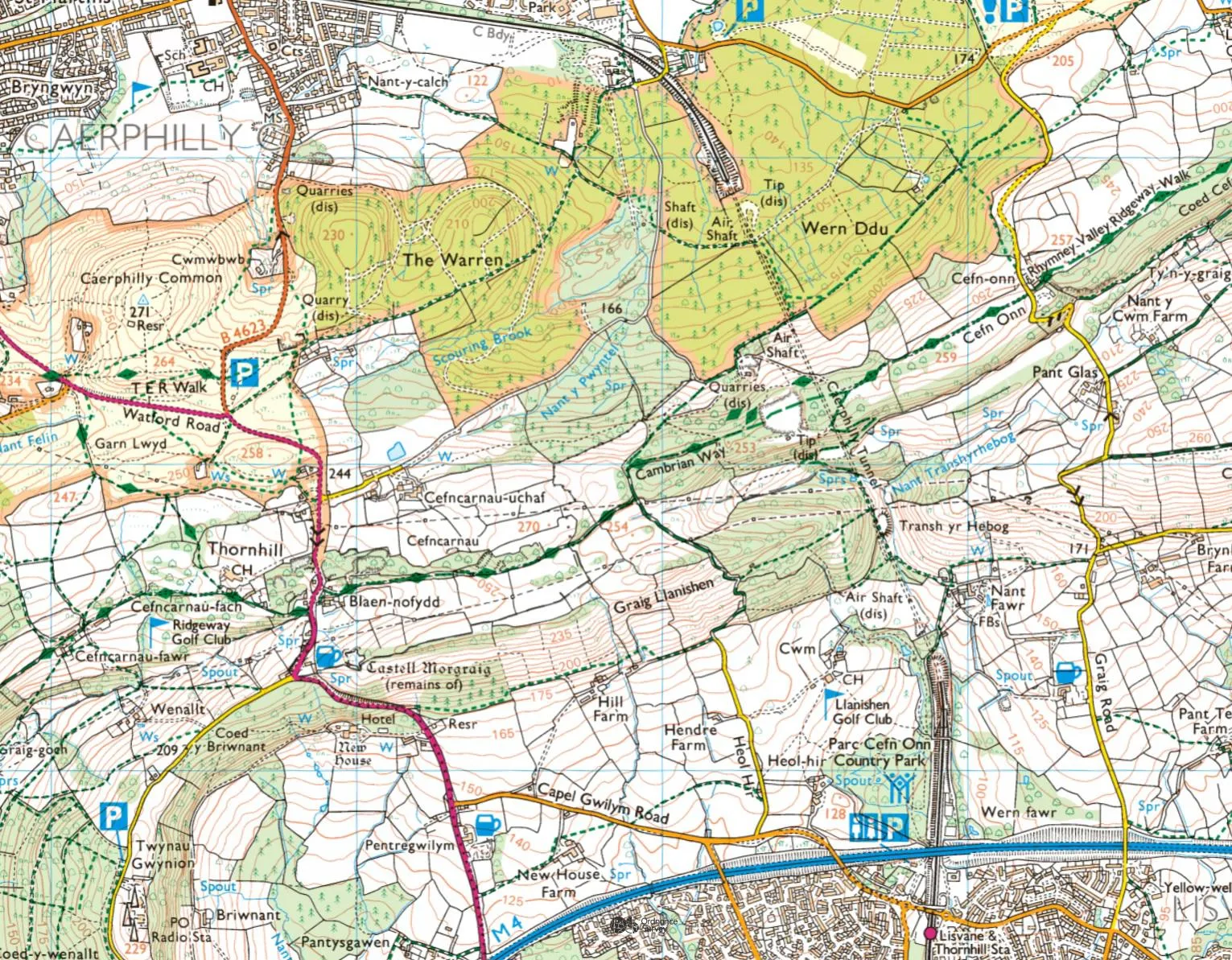
OS maps out Wales’s most challenging walk
A 300-mile walking path which grew a mythical reputation among the hiking community in Wales has been mapped by OS
The official route has its origins in the 1960s when a small group of members of Ramblers (formerly The Ramblers Association) decided to look at the formation of a south–north trail running through the upland areas of Wales. Agreement could not be reached, and the project would have failed without the determination of Tony Drake, a Rambler with a passion for wild Wales. His work is carried on by the Cambrian Way Trust and Ramblers Cymru.
Waymarking of the route was finally completed in 2020, while bronze plaques in Bute Park, Cardiff and Conwy Castle were installed earlier this summer to mark the start and end points.
The entire path is around 74,000 feet of climbing – the equivalent of summiting Everest two and a half times through the middle of Wales. The recommended time for completing it in one go is around three weeks, but it can be done in sections or walkers can choose to do a part of it as a day walk.

Oliver Wicks of Ramblers Cymru who has been working on the Cambrian Way project said: “This route is incredibly challenging, passing through some of the most remote and wild parts of Wales, but there is also something incredibly beautiful that showcases the rugged nature of our country.
“We are delighted to see the progress this project has taken, being on OS maps will be a great way to raise the profile of the route.
“Although the Cambrian Way is waymarked with the Welsh hat symbol on marked public rights of way, it is there primarily to reassure walkers. Substantial parts of it are over open access country and mountain ridges and peaks where paths are not always clear. For these reasons it is necessary for anyone taking on the whole route to have good map-reading and navigation skills, particularly if visibility is bad.”
Nick Giles, Ordnance Survey’s Managing Director for Leisure, said: “The Cambrian Way has had an almost mythical status among hikers through recent decades, so we are delighted to have worked alongside Ramblers Cymru to map such a special route.
“There can be no denying this route is a challenge, but such a rewarding one to explore, provided you have solid map reading knowledge and navigation skills.
“Ordnance Survey’s mantra is to make the outdoors enjoyable, accessible and safe, so don’t forget your paper map or OS Maps on your phone before heading out to experience the different sections of a wonderful route.”
Sharing the latest news about OS. We can license you to use OS maps in print, online and film format. For more information and resources for journalists, bloggers and media professionals, email pressoffice@os.uk or call 023 8005 5565.