Blog
Read location data and geography related stories and commentary
Filters (0)
Page 1
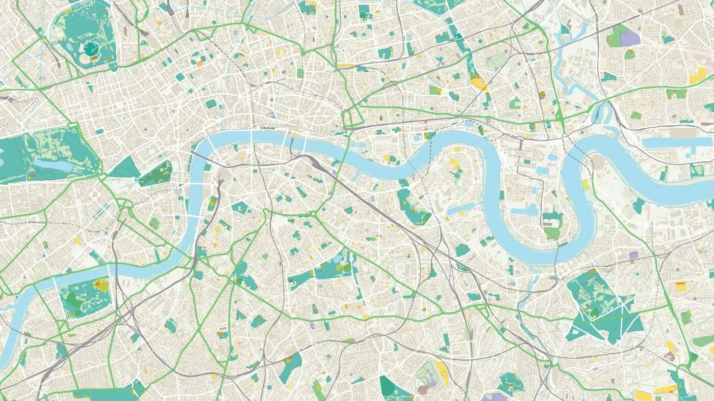
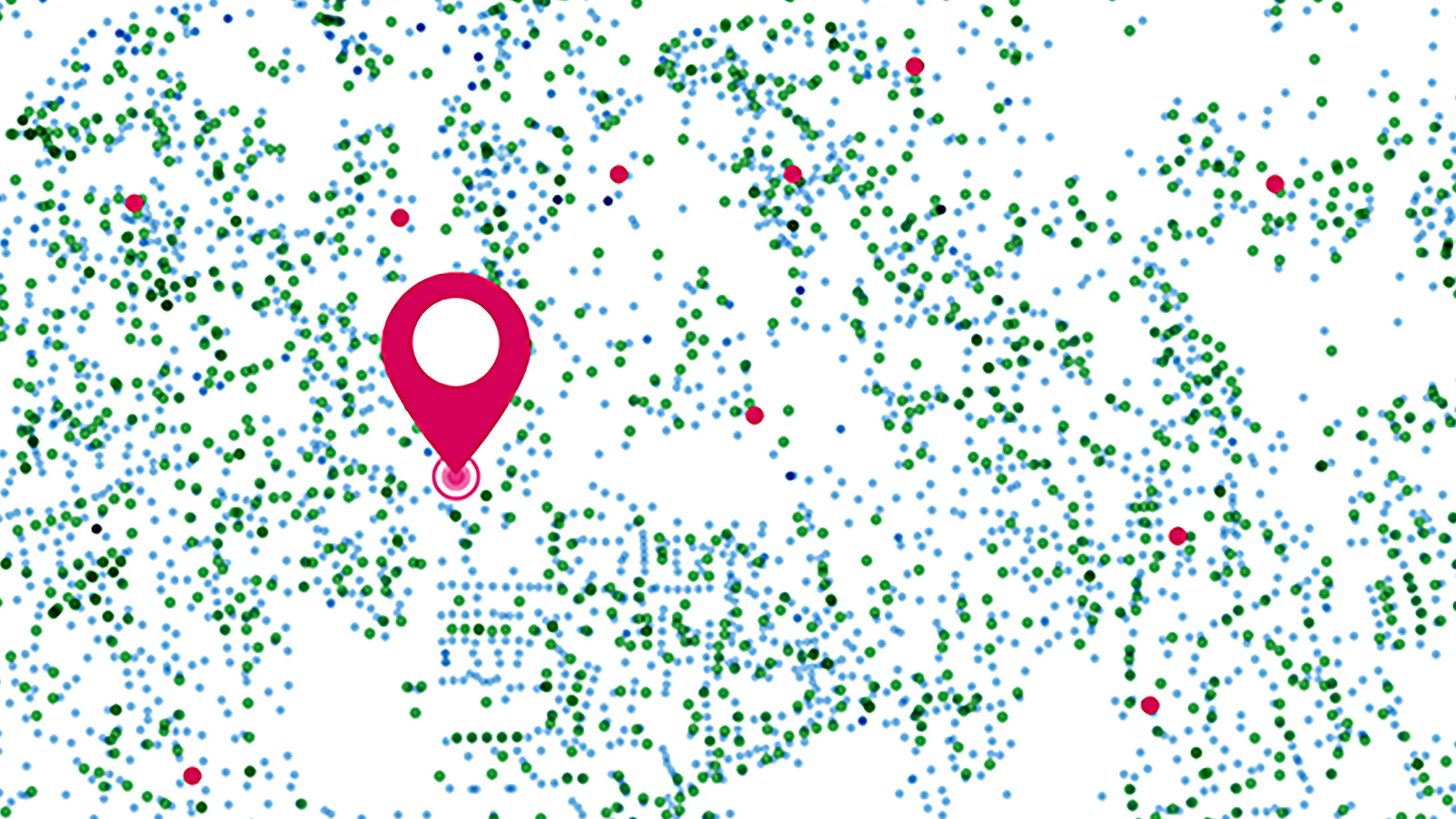
Developing geospatial skills for Data Scientists
A new geospatial module from OS was delivered to the first cohort of graduates enrolled on the Public Sector Data Science Graduate Programme.
- Blog
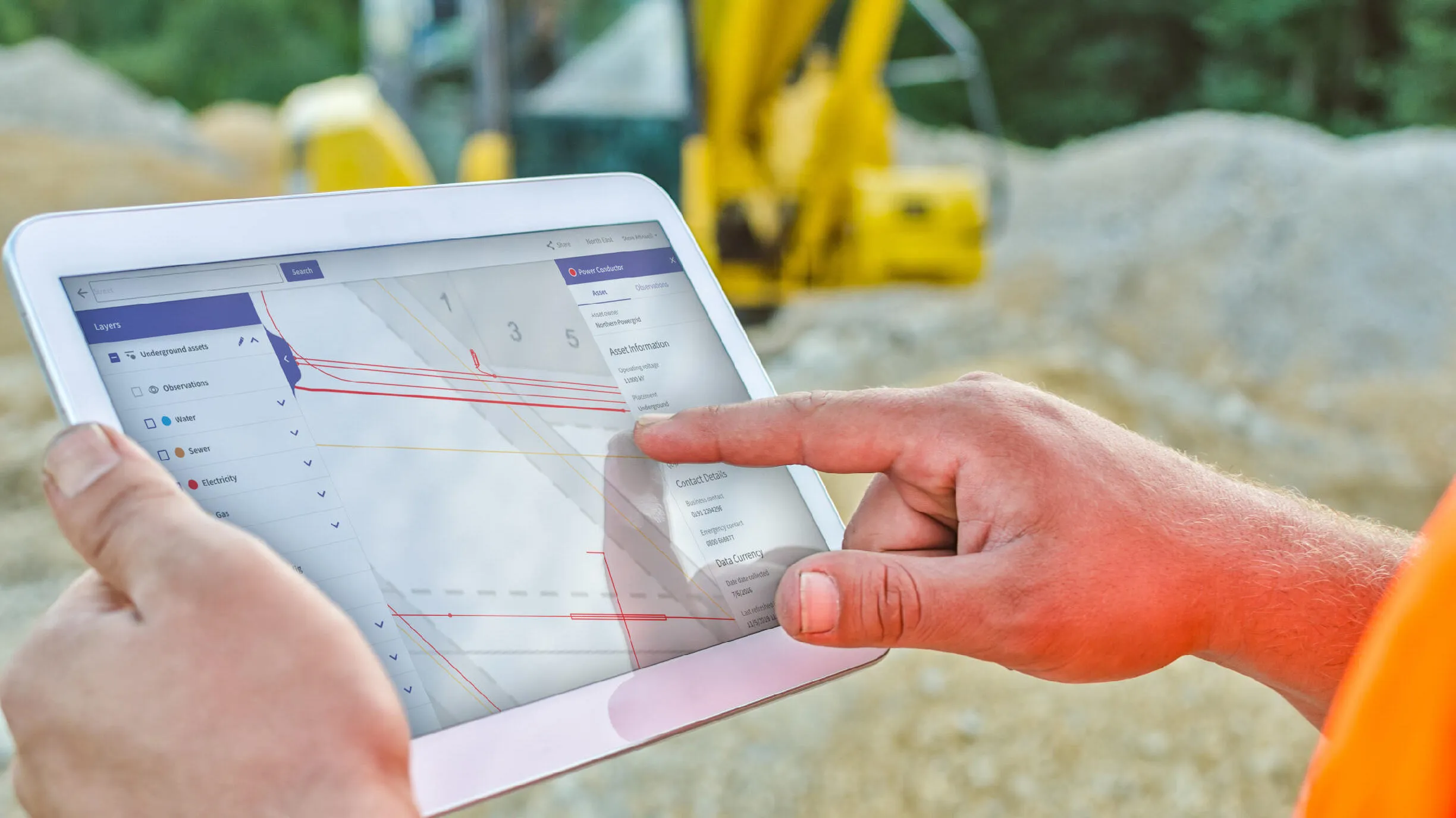
The next phase in NUAR’s development is here
NUAR has entered the latest important phase, moving into 'public beta' on the journey to being operational by end of 2025 and it will include Openreach data.
- Blog
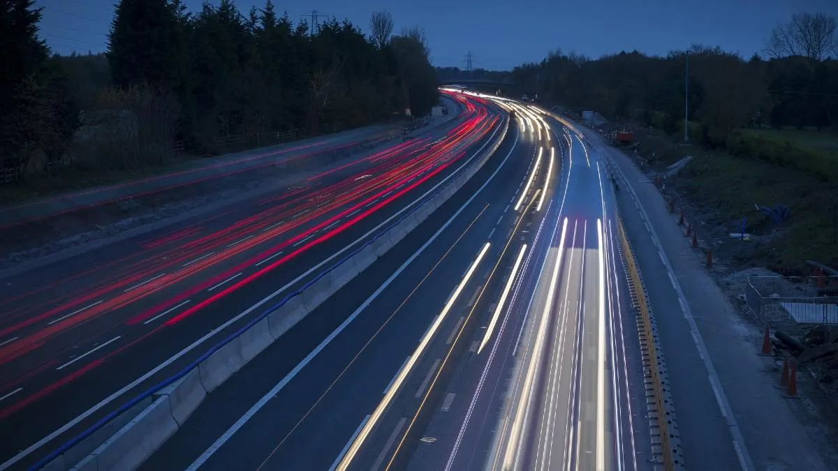
OS co-launches research alliance to shape the development of highways
Ordnance Survey has co-launched a research alliance with 21 other organisations to help shape the development of innovation in the highways industry.
- Blog
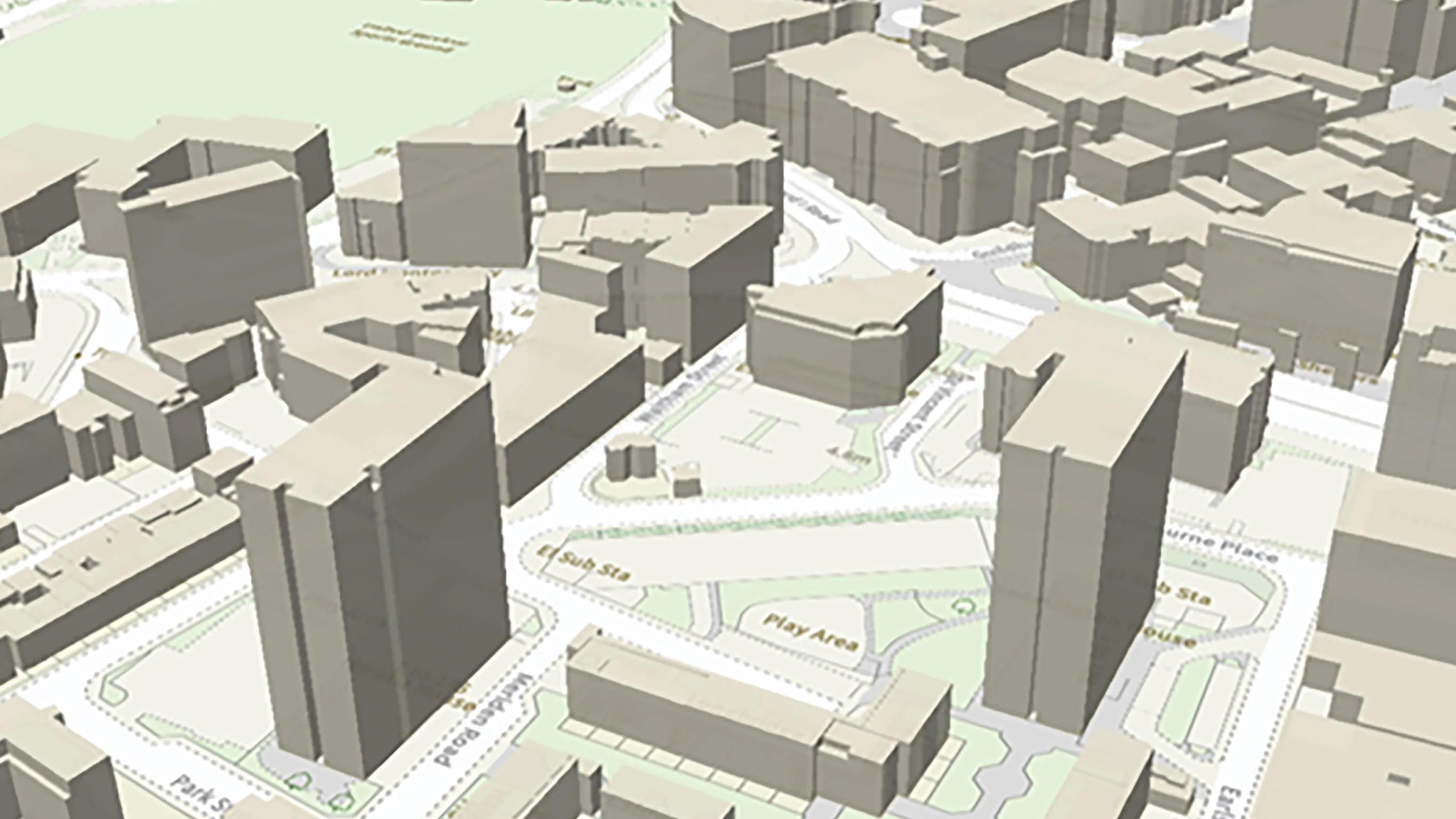
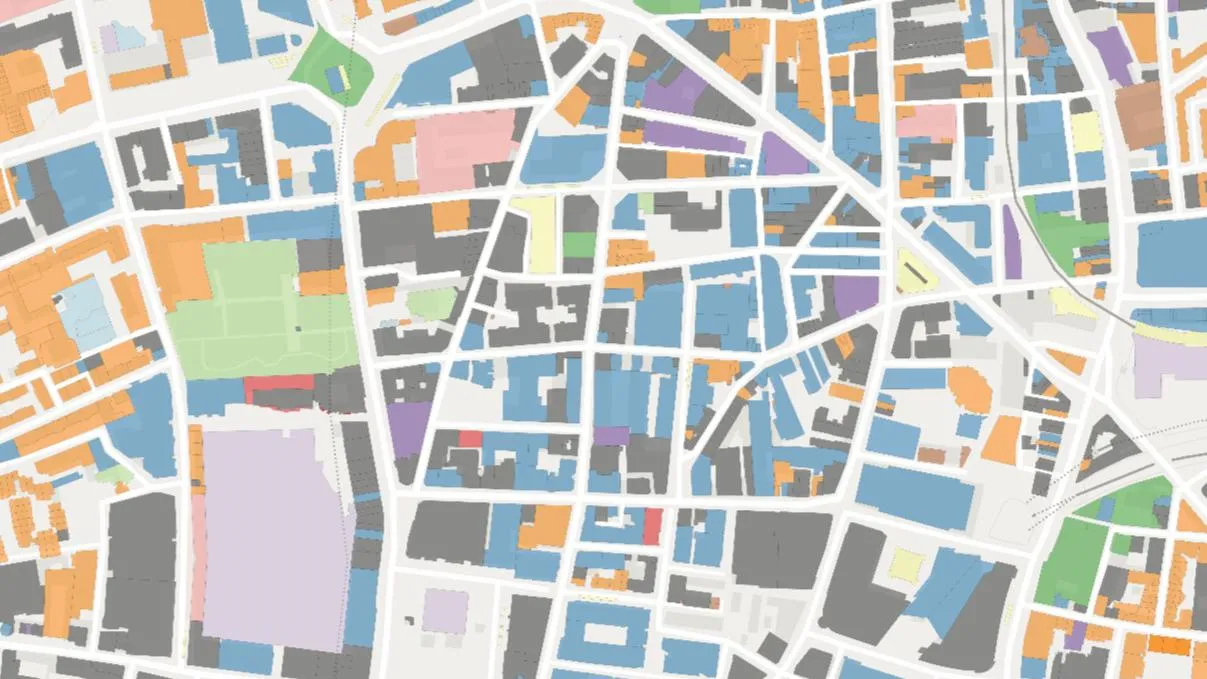
3D maps for your apps
We've been publishing building heights for a while now, but they just got even easier to access and even easier to build into your web applications.
- Blog
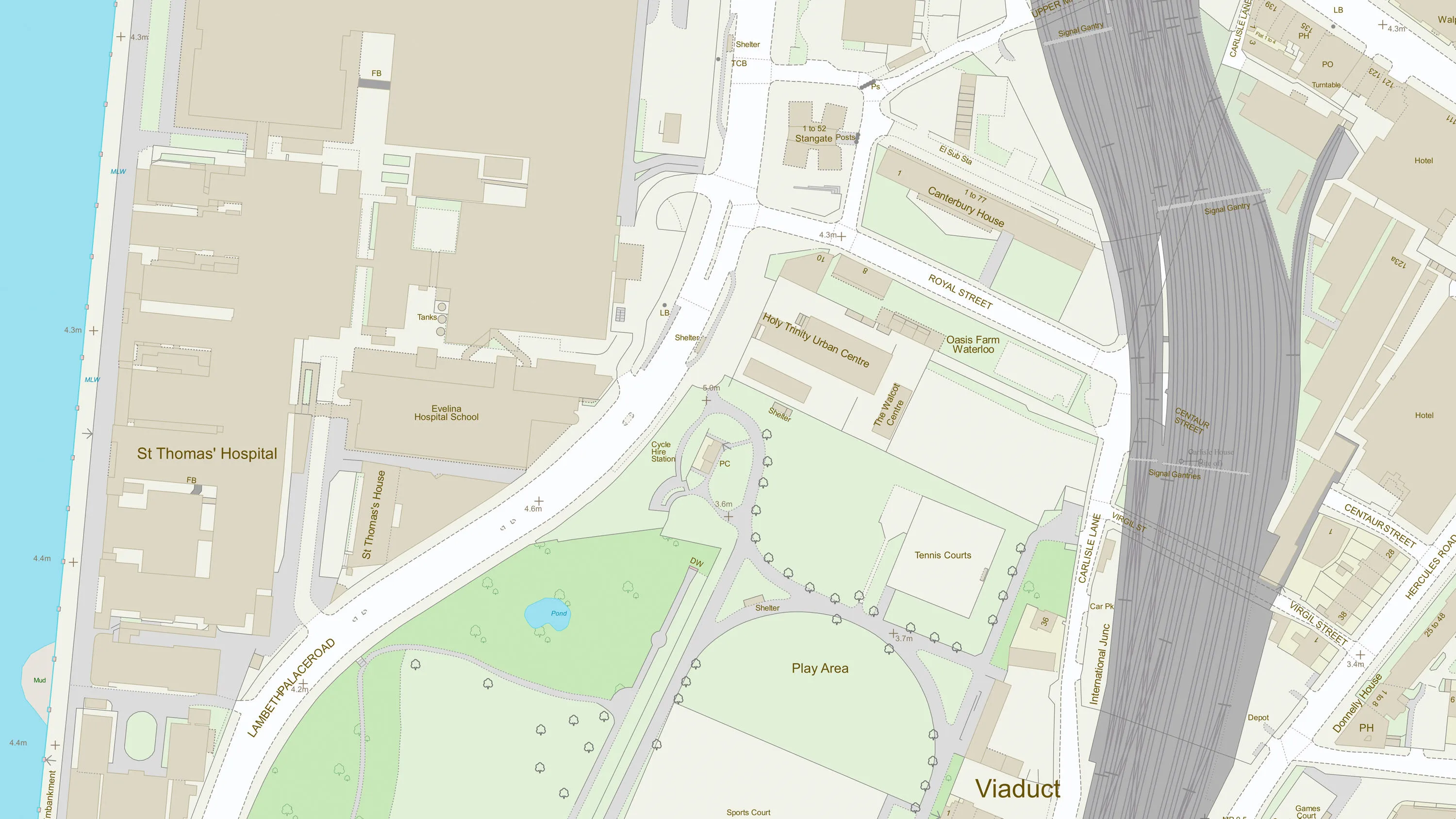
Useful tools for web mapping
Here’s our quick guide to some of the useful tools for web mapping to help web developers work with spatial data and create great maps for websites.
- Blog
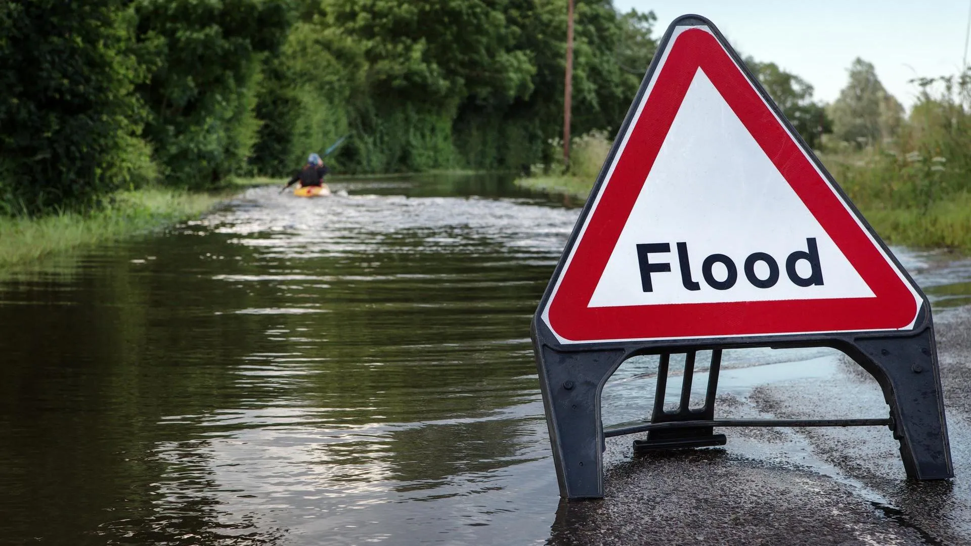
How OS data can support better planning and future modelling for new housing developments
Using location data to support the government's pledge to build 1.5 million more homes
- Blog
Using OS data to accurately identify environmental risk to a property
Balkerne enables property owners and insurers to prevent losses from manmade/natural events. Co-founder Harish Pesala shares how he's using OS data.
- Blog
Which geospatial API do I need?
Available from the OS Data Hub, we want to help you choose the right API for your use case.
- Blog
Five ways geospatial can grow your economy
Drive economic growth, technological innovation, and sustainable development with geospatial information.
- Blog