For nearly 100 years, leaders of National Mapping and Geospatial Agencies (NMGAs) around the world have been getting together to share their experiences and build their expertise together. This community represents the organisations that have been mapping their nations on behalf of national governments, understanding the surface of our changing planet. Exploring innovative and revolutionary ideas, Cambridge Conference has served as a key feature of the global mapping community ever since its inception in 1928.
The history of Cambridge Conference
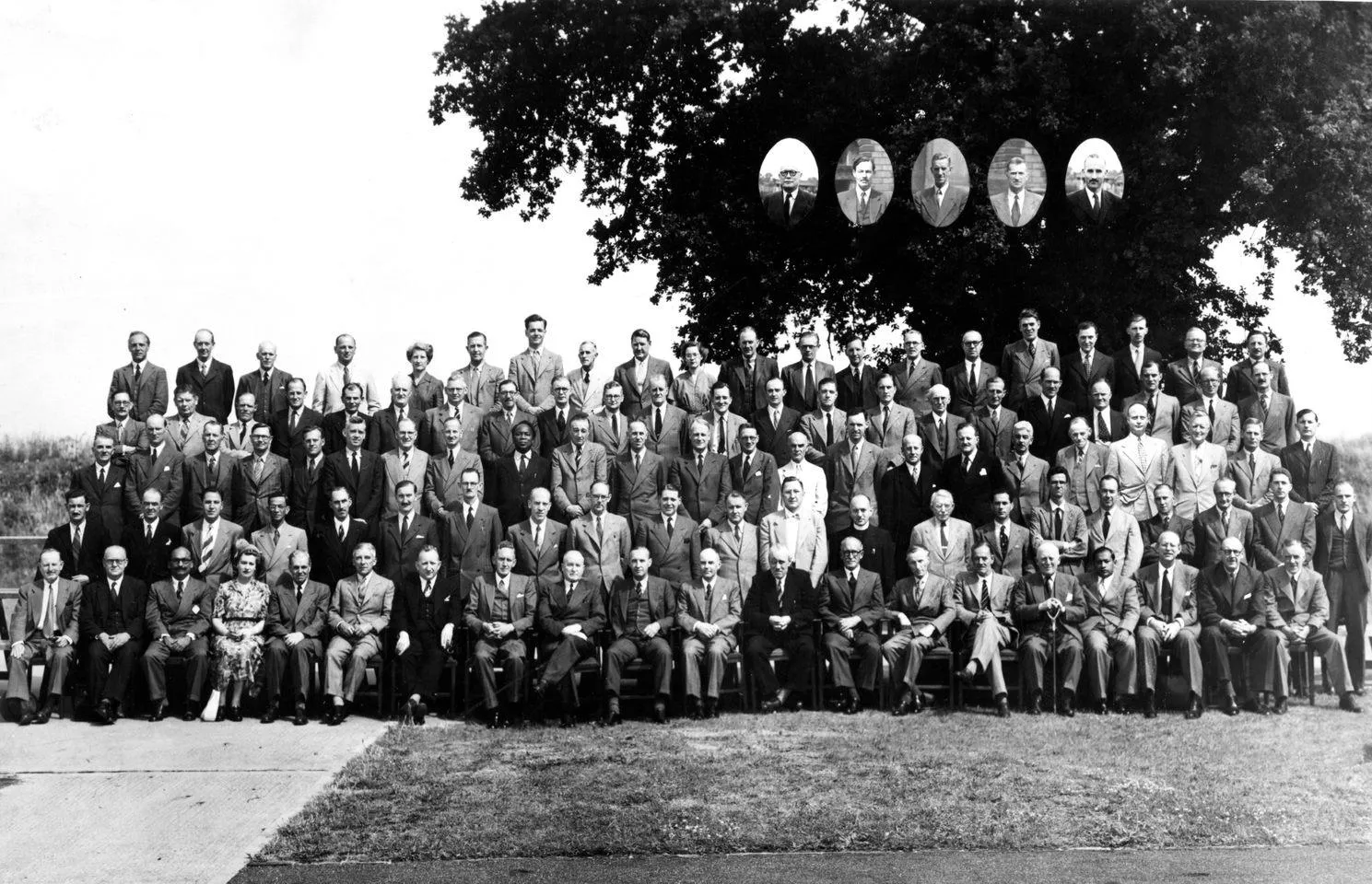
Cambridge Conference attendees in 1951
1920s
The Cambridge Conference in the 1920s.
1928
The roaring twenties gave birth to this community, with the first gathering together as the Conference of Empire Surveyors alongside the International Geographical Congress.
This first meeting included a radical paper, delivered by the legendary Brigadier Hotine, on surveying using air photography.
1950s
The Cambridge Conference in the 1950s.
1951
Cambridge Conference showed that the industry was up to speed with the latest technologies, demonstrated in a paper titled The Helicopter and Topographical Surveys.
1959
A new word, ‘computers’ appears in a conference paper’s title for the first time.

Cambridge Conference attendees in 1959
1970s
The Cambridge Conference in the 1970s.
1971
A conference paper discusses the creation of the world-wide triangulation network, using satellite photography.
1979
The conference’s first mention of the effect of the Global Positioning System (GPS) on mapping, charting and geodesy.
1980s
The Cambridge Conference in the 1980s.
1984
OS begins organising the event, when OS merged with the Directorate of Overseas Surveys.
1990s
The Cambridge Conference in the 1990s.
1995
The event was renamed ‘Cambridge Conference’, the invitation list reaching beyond the Commonwealth – now spanning the entire globe – with delegates representing countries from Australia to Zambia.
2000s
The Cambridge Conference in the 2000s.
2003
“National Mapping – shaping the future” was the theme of the 2003 event. It encouraged delegates to create a bold vision for mapping information in the 21st century.
2005
CC: The Exchange. At the request of delegates during the 2003 Conference a series of smaller conferences was planned. The first one was held in 2005 had the theme “Mapping: our role in a turbulent world” and was held at Ordnance Survey’s headquarters in Southampton.
2007
In 2007 the Cambridge Conference was attended by around 200 participants from 70 countries. Its focus was on “Expanding Horizons in a shrinking world”. The conference debated a number of issues, from the use of new technologies to closer partnerships across the globe, and how geospatial underpins national economic activity.
2009
In continuation of the practice of hosting smaller conferences the second CC: The Exchange was held in 2009. Among the topics for discussion was a focus on the actions that the GI community can take to alleviate the impact of the economic downturn, as well as the role that geography can play in connecting people in the fight against climate change.
2010s
The Cambridge Conference in the 2010s.
2011
The Cambridge Conference was hosted at Ordnance Survey’s new Headquarters, in Southampton. Over 120 delegates from 53 countries took part in the event, which had the theme “Mapping for a fairer and safer world”.
2013
In 2013 the Cambridge Conference theme was “Bringing Geographic Authority to Information. It was a unique event as it was held alongside the Third Session of the United Nations Committee of Experts on Global Geospatial Information Management.
2017
The theme for Cambridge Conference 2017 was “Mapping Nations - The Next Decades”. With speakers from all continents, the Conference examined the drivers that face the world in the coming decades, and enabled delegates to consider how national spatial data infrastructures and National Mapping and Geospatial Agencies will adapt to our changing societies. The opening keynote set the scene with Professor Sir Mark Walport, the UK Government Chief Scientific Adviser, considering “The Inexorable Rise of the Machines”.
2020s
The Cambridge Conference in the 2020s.
2022
The 2022 Cambridge Conference explored the actions that geospatial agencies and organisations can take to support their government’s strategic policies in response to climate change.
The conference paper demonstrated the need for consistent core datasets worldwide, enabling a view of opportunities for environmental protection, financial investments, and sustainable development.
Applying geospatial information to climate challenges
Bringing together leaders of National Mapping Agencies since 1928
The next Cambridge Conference will be held 7-10 April 2025, at Pembroke College, Oxford, UK.