
Alpha Construction is a civil engineering and building contractor based in Derbyshire. Among its specialisms are projects across the UK related to energy and substation infrastructure, as well as flood defences and water infrastructure. Alpha Construction’s work regularly involves high-risk...
Case studies
Discover how Ordnance Survey data is driving more efficient decisions in organisations like yours
Filters (1)
Showing 9 results
Page 1

Northumbrian Water Group (NWG) addressed long-standing challenges with fragmented underground asset data by adopting the National Underground Asset Register (NUAR) and embedding it into its operational processes. The platform has enabled faster, more reliable access to asset information for hundr...

Morrison Data Services (MDS) is the largest independent multi-utility metering services company operating in the UK. It supports critical energy and water providers including British Gas, EDF, Thames Water, and Southern Water. With over 50 million energy and 9 million water meter readings made an...

This case study describes how Department of Energy and Climate Change (DECC) worked with Ordnance Survey (OS) as part of its Smart Meter 868MHz HAN trial to predict the number of premises at which a 868MHz HAN solution would work.
Through this OS supplied a tabular, spatially-derived datas...

Northern Gas Networks (NGN) is the gas distributor for the North of England, supplying 2.7 million homes and businesses. Geospatial solutions are fundamental to NGN’s daily operations, including representing the accurate positions of assets – data that is vital for emergency response,...

Scottish and Southern Energy (SSE) maintains 48,500km of high-voltage overhead power lines supported by wooden poles in Great Britain.
Ordnance Survey (OS) helped SSE to locate problems more efficiently, without the need for multiple site visits, as described in this case study.

Department of Energy and Climate Change (DECC) works with Ordnance Survey (OS) to make sure the UK has secure, clean and affordable energy supplies.
DECC has combined data from a number of different sources to create the National Energy Efficiency Data-Framework (NEED) which is used to eff...

Delivering estimated savings of around £1 million, Northumbrian Water and Ordnance Survey (OS) created the first Underground Infrastructure Hub for the North East.
Northumbrian Water provides water and wastewater services to just under 4.4 million people.
In 2018 it asked OS...
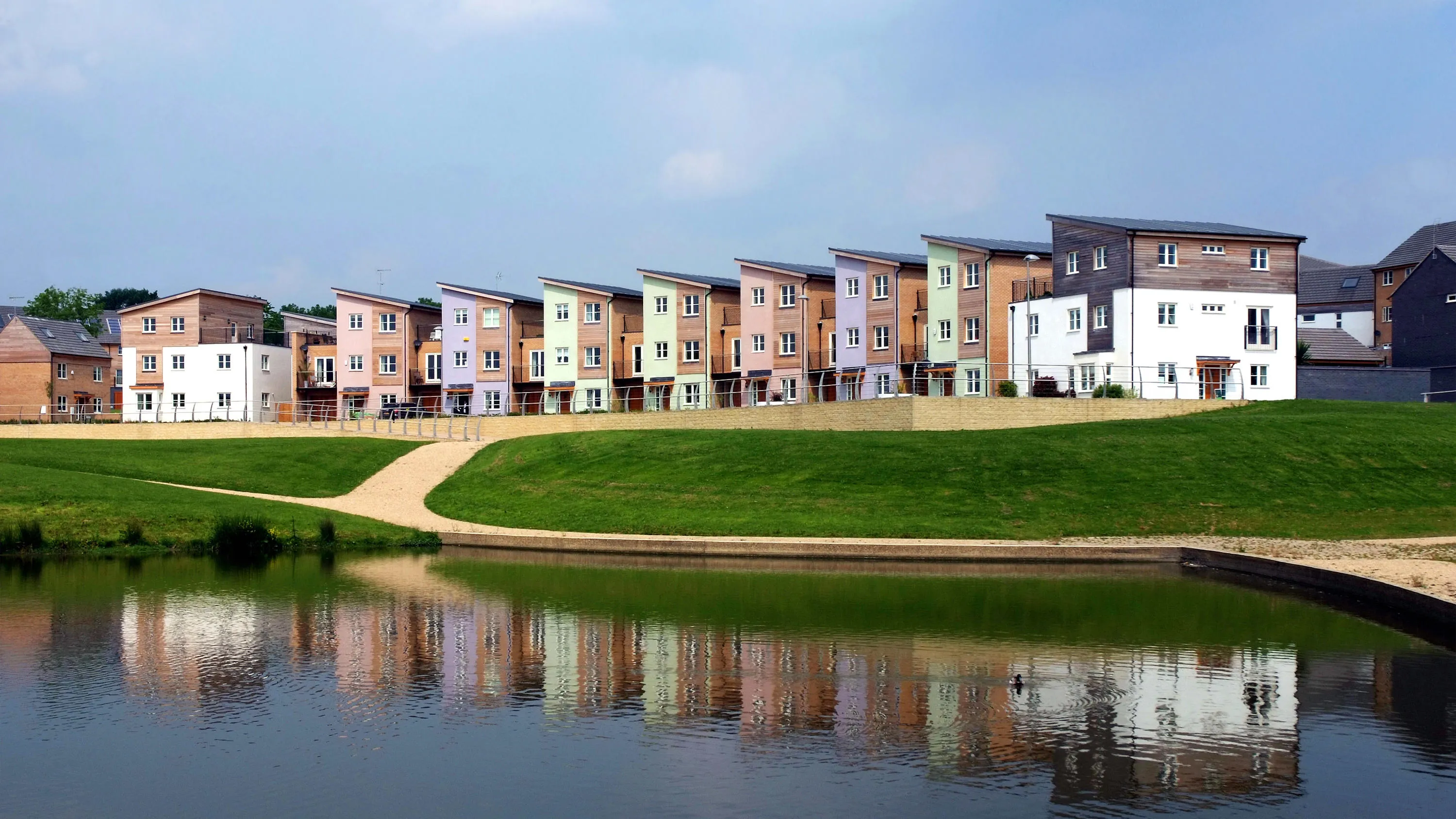
Supporting local economic growth in Milton Keynes with geospatial data.
Ordnance Survey (OS) provides geospatial datasets to help the MK:Smart Future Cities project in Milton Keynes.
MK:Smart Future Cities project (MK:Smart) is a large collaborative initiative, partly funded by HEFC...
You have viewed 9 of 9 case studies