
Nationwide, the world’s largest building society, and a prominent and responsible mortgage lender, faced the challenge of accurately assessing properties on which it was asked to lend. Ordnance Survey (OS) data has helped enhance the mortgage lending process, providing better service to cus...
Case studies
Discover how Ordnance Survey data is driving more efficient decisions in organisations like yours
Found 10 results
Page 1

Hiscox UK improves insurance risk management with OS location data
Hiscox UK, a leading insurance provider for high-net-worth customers, faced a significant challenge in managing risks associated with high-value assets, and used Ordnance Survey (OS) data to determine exact locations of insured properties.

How Cambridge & Counties Bank used OS data to optimise Climate Risk Assessments and ESG Compliance
Established in 2012, Cambridge & Counties Bank’s (CCB) headquarters in Leicester have grown into a UK-wide specialist lender, helping professional property investors and all types of SMEs through a suite of relationship-based, dedicated lending and asset finance solutions. A B-Corp cert...

Remote solar panel assessments underpinned by OS data
Absolar, an OS Associate Partner specialising in renewable energy management, helps end-users enhance their sustainability and energy efficiency by identifying the ‘solar potential’ of a given location.
Its technology and services can remotely survey properties, to determ...

OS Data Hub used by Balkerne to offer risk intelligence platform
Balkerne has built a real-time risk intelligence platform to predict, prevent, and detect damage to property. Their digital platform, SmartResilience, integrates data using 35 different sources including location data from the OS Data Hub.
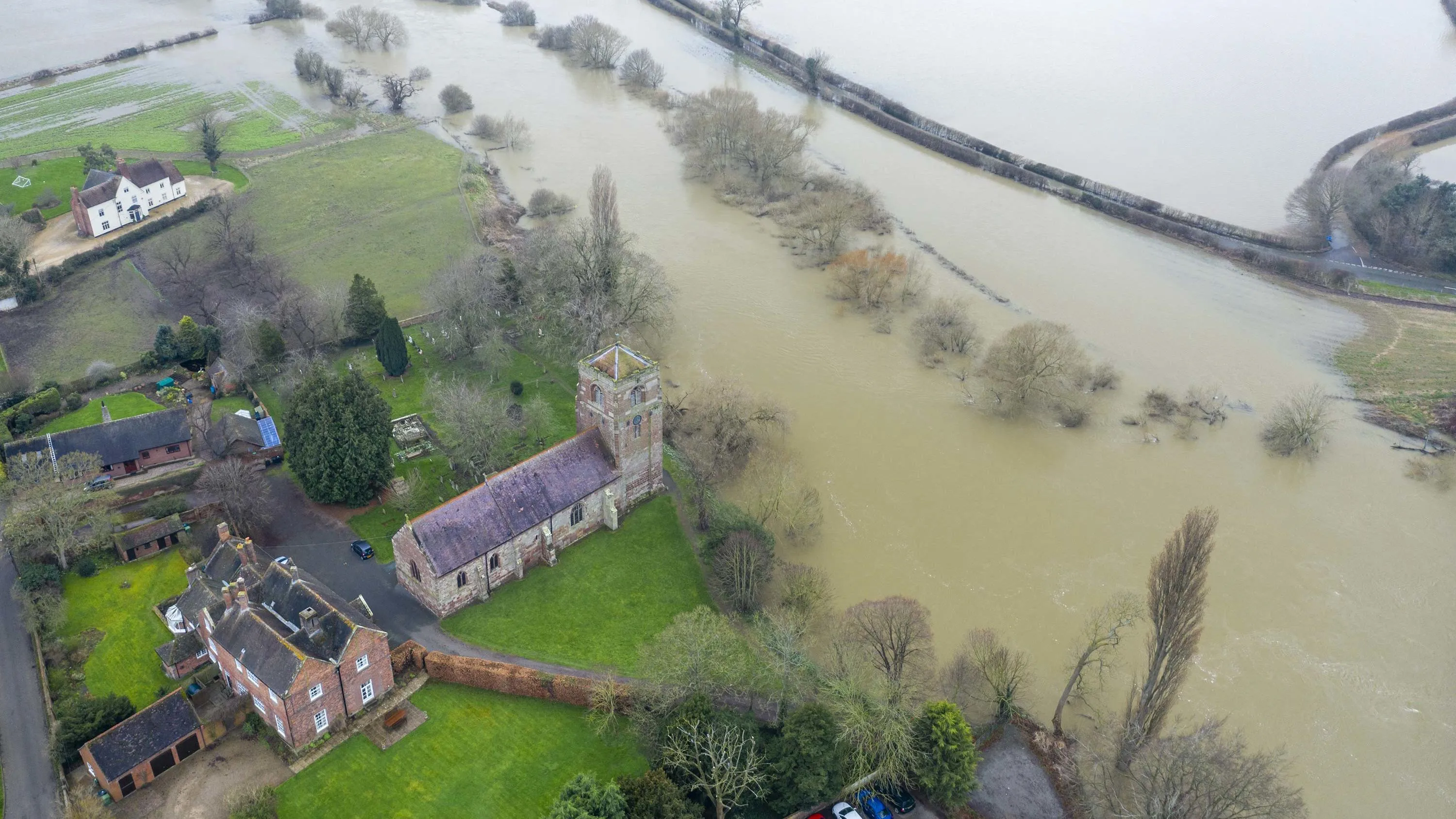
Richer data protecting people and the environment from flooding
The Environment Agency (EA) manages and mitigates flood risk throughout England, helping to reduce impacts of flooding.
The EA worked with Ordnance Survey (OS) to update and improve their existing property dataset – critical to the EA’s ability to assess flood risk and respond...

Aviva harnesses the power of geospatial intelligence
Aviva has been using OS data from the very beginning of their involvement with Geographical Information Systems (GIS) and geospatial data.
Their commercial property underwriters use OS datasets to assess risk and manage accumulation. Their dedicated GIS team use their desktop GI systems (E...
ESRI UK mapping app protects York from floods
York City Council’s flood team can now easily record, share and visualise gully information on any hand-held device, thanks to an ESRI UK app and detailed Ordnance Survey (OS) mapping. This case study explains how it was done.

Supporting public service with geospatial data in Tanzania and Zanzibar
Collaborating with the World Bank, Ordnance Survey (OS) provided practical geospatial training and an assessment of spatial data infrastructure policy in mainland Tanzania and Zanzibar.
This work has provided crucial skills development in the areas of data collection and management for var...
You have viewed 9 of 10 case studies