Our work usually begins with a discovery programme to understand how you and your stakeholders will benefit from geospatial information. We’ll then develop a tailored suite of services with you to unlock the value of accurate geospatial data and its growth potential for your nation.
Meet our international geospatial team
Our services and solutions are tailored to meet each customer’s unique needs
Our experts are here to help
Our international team of experts are available to help build your capability and increase your capacity:

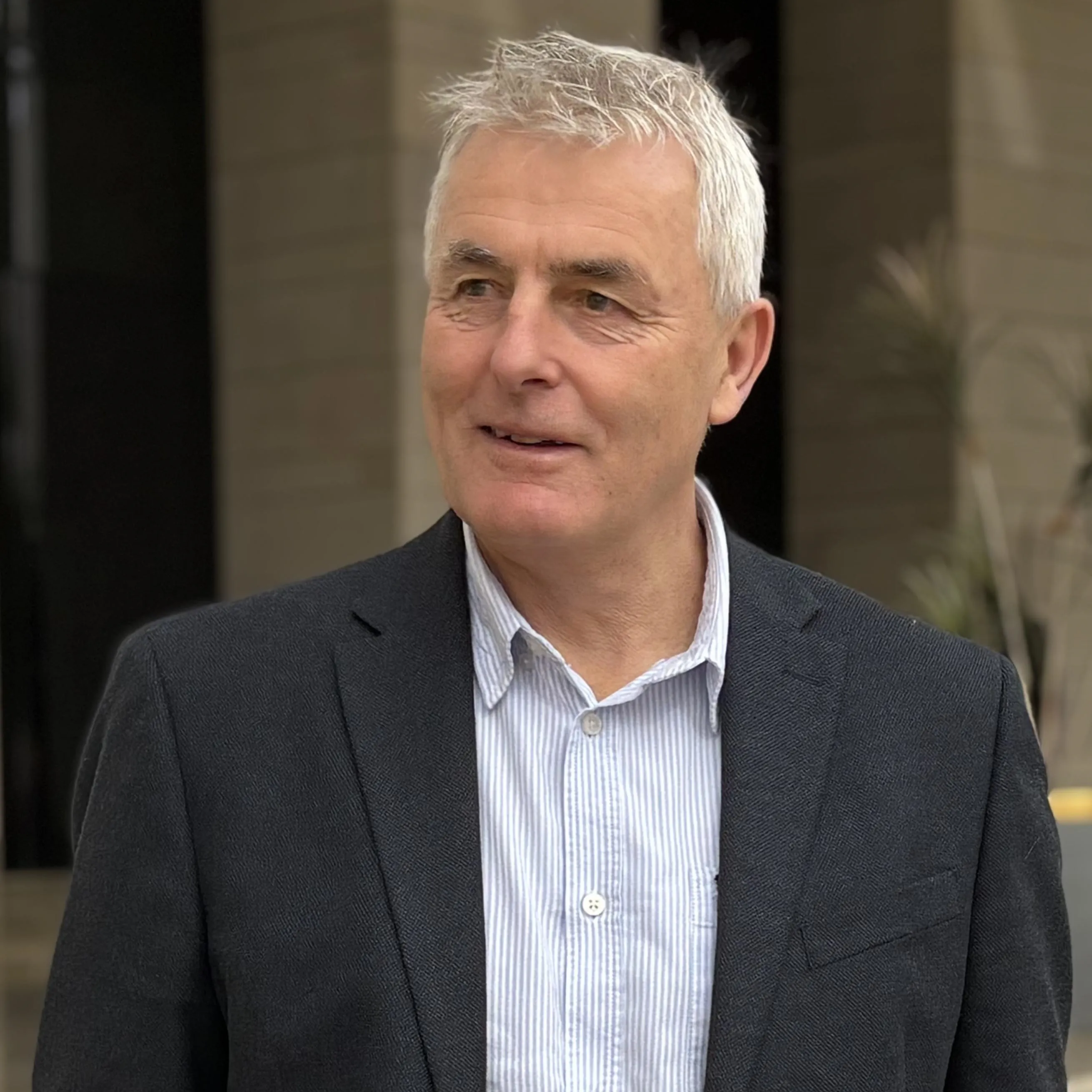
Andy Wilson FRGS MCM
Future Government Services & International Contracts Lead
Andy has over 38 years of experience in the Geographic Information Industry, starting as a surveyor with Ordnance Survey and progressing to Head of Public Sector where he developed the Public Sector Mapping Agreement for Great Britain (which brought together over 4000 organisations under a single contract to all use the same spatial data under a common spatial reference system.) As Business Development Director for Ordnance Survey International (2014-2022), he advised government agencies globally on spatial agreements, and how these deliver economic, environmental and citizen benefits. Andy is a Fellow of The Royal Geographical Society and a member of the Chartered Management Institute.

Catrin Ridyard
International Customer Development Manager
Catrin holds an MSc in Environmental Modelling and has 7 years of experience in the geospatial field, initially working as a GIS consultant before transitioning to relationship and project management. Catrin’s diverse career spans both public and private sectors, and includes work in transport, environment, and health in the UK and Africa. She is a Fellow of The Royal Geographical Society and has achieved a Level 7 CMI qualification in Management Consultancy.
Get in touch
If you have a general query get in touch today
Our International team of consultants offer support across the globe.
Consulting team
Our dedicated International consultants combine experience with geospatial strategy to focus on your nation's development goals.

Neil Dewfield MSc(Dist), FCILT, FIOM
Managing Consultant
Neil is a strategy, supply chain, and operations management professional with over thirty years’ experience in formulating and deploying enterprise-wide, supply chain, operational and geospatial information strategy. Neil has worked in both public and private sector organisations in the United Kingdom, Europe, Asia, the Middle East, and North America.
Angus Hemmings Assoc RICS
Principal Geospatial Consultant
Angus has over 40 years of experience in geodesy, surveying, and consultancy. He has led complex geodetic programs across various continents, optimising geospatial datasets and establishing CORS networks. At Ordnance Survey, he advises on geospatial infrastructure, data strategy, and implementation. Angus combines technical expertise with strong leadership, project management, and stakeholder engagement skills to improve quality of life through spatial data applications.
See your nation's potential
Discover how geospatial data can help your nation grow and develop
Our comprehensive guide will explain geospatial information, driving economic growth and navigating challenges effectively.