Reinventing the map to deliver trusted data in a turbulent world
Reflections from the Cambridge Conference 2025
People across the world rely on them to update and maintain the authoritative information that links their physical world to the data landscape, providing the insight needed for confident decision making and faster, more efficient policy implementation.
And, while providers of official geospatial information have a long tradition of self-reinvention through technological and organisational transformation to meet the needs of government, business and citizens, they also continue to produce the maps that hold a special place in a nation’s affections – making them powerful symbols of certainty and trust in a complex and uncertain world.
"I love maps. They inspire my analytical mind, and they also speak to my heart. More importantly I love what you can do with them. So, for me, maps are about better decisions, they're about better services, they're about better security, they're about better societies, and they're about better economies."
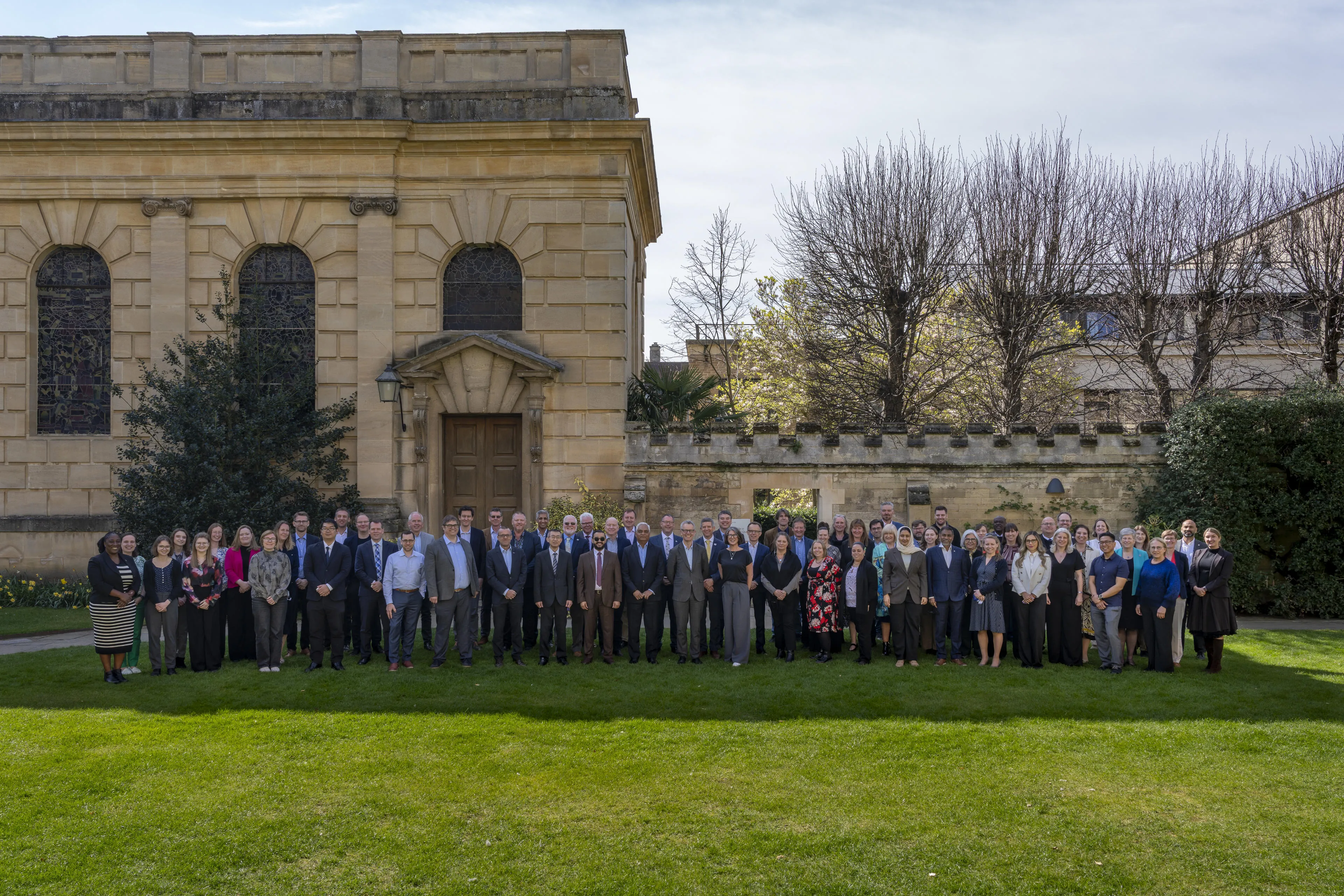
Nick was speaking at the Cambridge Conference, a unique global gathering for Heads of National Mapping and Geospatial Agencies, which has been hosted by Ordnance Survey since 1928. Convened to enable candid conversations and share common challenges and opportunities, the event has foreseen many of the developments that today deliver the geospatial data needed to navigate the far-reaching consequences of an ever-changing global situation. From the 1959 paper on the use of electronic computers in surveying and mapping, to 1979 discussions on GPS, and a 1995 opening session on the need for consistent core global datasets.
Introducing the 2025 theme ‘Reinventing the Map,' Nick added: “We're seeing a period of significant change in the world and our role as national mapping agencies, or being involved in the mapping ecosystem more broadly, equally has to respond to that change. Now, the majority of maps only ever exist in the digital; that's a very different place.”
"For us [in Australia], we feel that we are on the cusp of a great opportunity. We finally have a voice through a digital transformation agenda across government. I now attend a whole number of government Chief Data Officer meetings on behalf of Geoscience Australia – me, a geospatial leader, not the Chief Information Officer who traditionally looks after the organisation’s data – because the narrative is shifting. It’s now about how geospatial fits into the broader data ecosystem of government."
Geospatial data is increasingly being identified by countries as a key national digital asset is significant, and it’s a worldwide trend. For example, The Spatial Data Infrastructure Act 2014 established The Bahamas National Geographic Information Systems Centre as a Department with responsibility for providing a strategic national framework for long-term systematic access and exchange of geospatial data.
Serbia’s national digital platform, GeoSrbija enables the delivery of operational – not just informational – spatial data. And in France, the National Institute of Geographic and Forest Information is renewing its 80-year old mission in the age of AI with a particular focus on new state-of-the-art capabilities and developing competencies that ensure its future relevance.
By adapting to meet both short and longer-term challenges and opportunities, National Mapping and Geospatial Agencies continue to reinvent themselves. While embracing new technologies and skills, they remain mindful of the need to retain the core skill sets that underpin their geospatial expertise.
"Today, we are reinventing a whole agency but still holding on to what has been a main activity for hundreds of years, the mapping."
Closing the conference, Nick Bolton concluded: “We tend to focus on the machinery of the task: the processes, the tools, the knowledge. But fundamentally, it's about the people. We’ve heard talk about a love of maps, talk about trust, and talk about belief. Those are things that happen between human beings, not between organisations.
“We've focused on reinventing the map but that reinvention needs imagining, and, if there is one thing that marks out the human characteristic, it is the creative imagination. It's what makes this fun and so the challenge is there. Let's go and reinvent. Let's go and reimagine. Let’s plan. Let’s design but fundamentally let’s go and build.”
More information can be found on the Cambridge Conference page.
Sharing the latest news about OS. We can license you to use OS maps in print, online and film format. For more information and resources for journalists, bloggers and media professionals, email pressoffice@os.uk or call 023 8005 5565.
Find more Insights
- Communities
- International government
- Government and public sector
- Great Britain
- United Kingdom