How drones will drive your business to peak efficiency
Advances in drone technologies have made them more agile, cheaper, and easier to operate. They are predicted to contribute £42 billion to UK GDP by 2030.
They are predicted to contribute £42 billion to UK GDP by 2030. The media and film industries have already harnessed drones for video and photography for many years, but what drones can achieve in other sectors is yet to be fully recognised.
Like most emerging markets, the technology has progressed rapidly. But regulation and social acceptance have struggled to keep pace, leading to hesitancy in commercial uptake. Several airport incidents across the UK have not helped. However, many industries are already harnessing the power of drone-captured data and realising the substantial economic benefits this technology can deliver.
Oil and Gas is one of the most mature markets that are using drone technology, and the advantages are significant. Key infrastructure such as off-shore platforms can now be inspected by drone, reducing the need for the platform to be shut down and significantly minimising risk to personnel through removing the need to work at height in extreme environments.
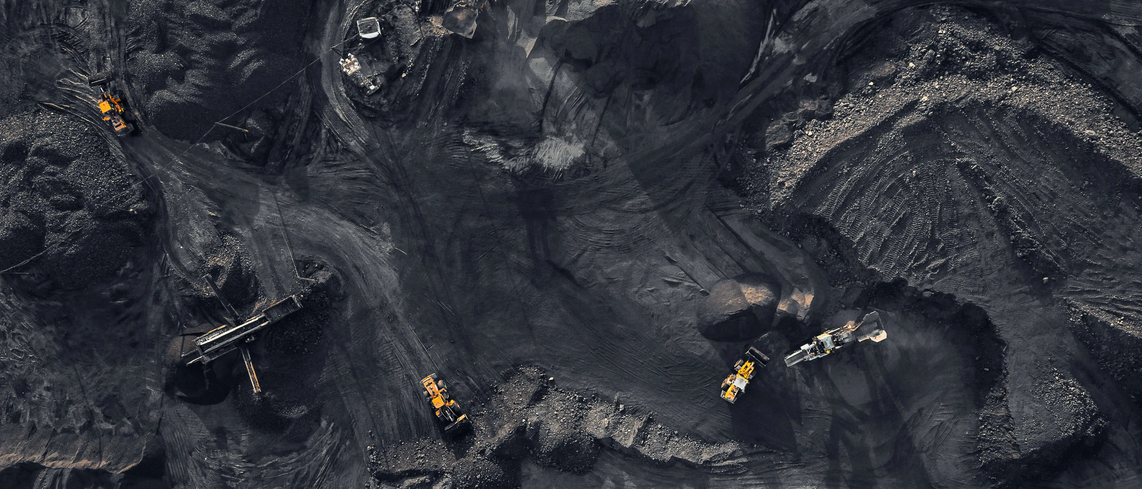
PwC is also using this technology to disrupt how we’re delivering our services. This year PwC completed its first drone audit of a coal reserve at our client RWE, one of the UK’s last coal-fired power stations.

We used a fixed-wing drone to fly over the coal pile on an automated flight route. A series of images were taken with the drone at precise locations across the coal which were then fed into software that ‘stitched’ them into a 3D ‘digital twin’ of the coal pile, using a process called photogrammetry. The georeferenced digital twin was viewed via an intuitive visualisation tool which allowed both the PwC audit team and RWE to interrogate data about the inventory and assets on site. Very precise and accurate measurements were taken, enabling a volumetric amount and therefore a value to be determined remotely.
Not only did this process improve data accuracy compared to the traditional method – the drone captured circa 900 data points per cubic metre – this removed the need for lengthy, resource-intensive physical auditing on site. It also made the process safer, preventing the need to send auditors out to remote locations or more dangerous areas of the site. Geospatial data is used to confirm the accuracy of the digital models and allows any potential concerns flagged by the integrated drone software to be swiftly addressed onsite.
In large infrastructure construction projects, this drone-enabled rapid action can be critical to avoid delays and overruns on the project. Real-time assurance can be obtained by flying a drone along a pre-planned path every week, which is far quicker than tasking a surveyor to walk the same path. It also saves cost, can have a lower carbon footprint and minimises the health and safety concerns of hosting more people on a construction site. And crucially, real-time, accurate data of what is happening on the ground is available in the cloud, ready to be analysed through visualisation software anywhere in the world and to a wide range of stakeholders. It’s data that cannot be disputed and allows for much better decision making.
These benefits are brought to life through a recent project we carried out with a large UK port operator, which involved using drones to inspect assets. The new approach led to cost savings of 65% and time savings of 83% compared to traditional methods.
The UK’s regulatory body, the Civil Aviation Authority (CAA), has been working closely with industry to ensure the opportunity drones present for the UK economy is realised. A better understanding of what challenges businesses face in implementing drone technologies, mixed with investment from the government (in line with the Industrial Strategy) is creating a promising foundation for the uptake of drones across more sectors.
Currently, unless special permissions are granted, all drone operators must only fly the drone where they can see it within their line of sight. The next stage in unlocking the real commercial value of drone technology is the ability to fly Beyond Visual Line of Sight (BVLOS). The UK government has various programmes in place to push forward the BVLOS agenda. For instance, the Energy Innovation Centre is working with the National Grid and other gas and electric companies, to revolutionise how aerial inspection is conducted through BVLOS drone flight.
Understanding and navigating the regulatory environment for drone technologies can be daunting for businesses, both large and small. The regulator’s priority will, quite rightly, always be public safety, but the clear desire demonstrated by the CAA and other government departments to encourage innovation indicates a move towards progress.
Similar to safety concerns expressed by the public about autonomous vehicles, there is understandable hesitancy around increased drone use. Addressing any misinformation and demonstrating successful drone use cases that benefit wider society, built on reliable datasets, will help to balance the benefits and the risk of uptake in this technology.
This takes the UK a step further towards unlocking the potential of drone technologies, gaining economic benefits from the new skills, technologies, and business opportunities drones provide.
UK Drones Assurance Lead
Joanne works within the Technology and Investments department at PwC, helping clients integrate drone technology into their business to give them a competitive edge.