Search for OS data products
Search below to find the best geospatial data product for you
Filters (1)
- Untitled Filter
- Page 1
The OS Downloads API lets you script and automate your downloads of OS OpenData and OS Premium data. Save valuable time by automating the process.

OS Multi-modal Routing Network is a fully connected network dedicated for the multi-modal routing of people and goods, designed for use in routing applications.
A navigable road network dataset with detailed information about planned roads and roads under construction for Great Britain.

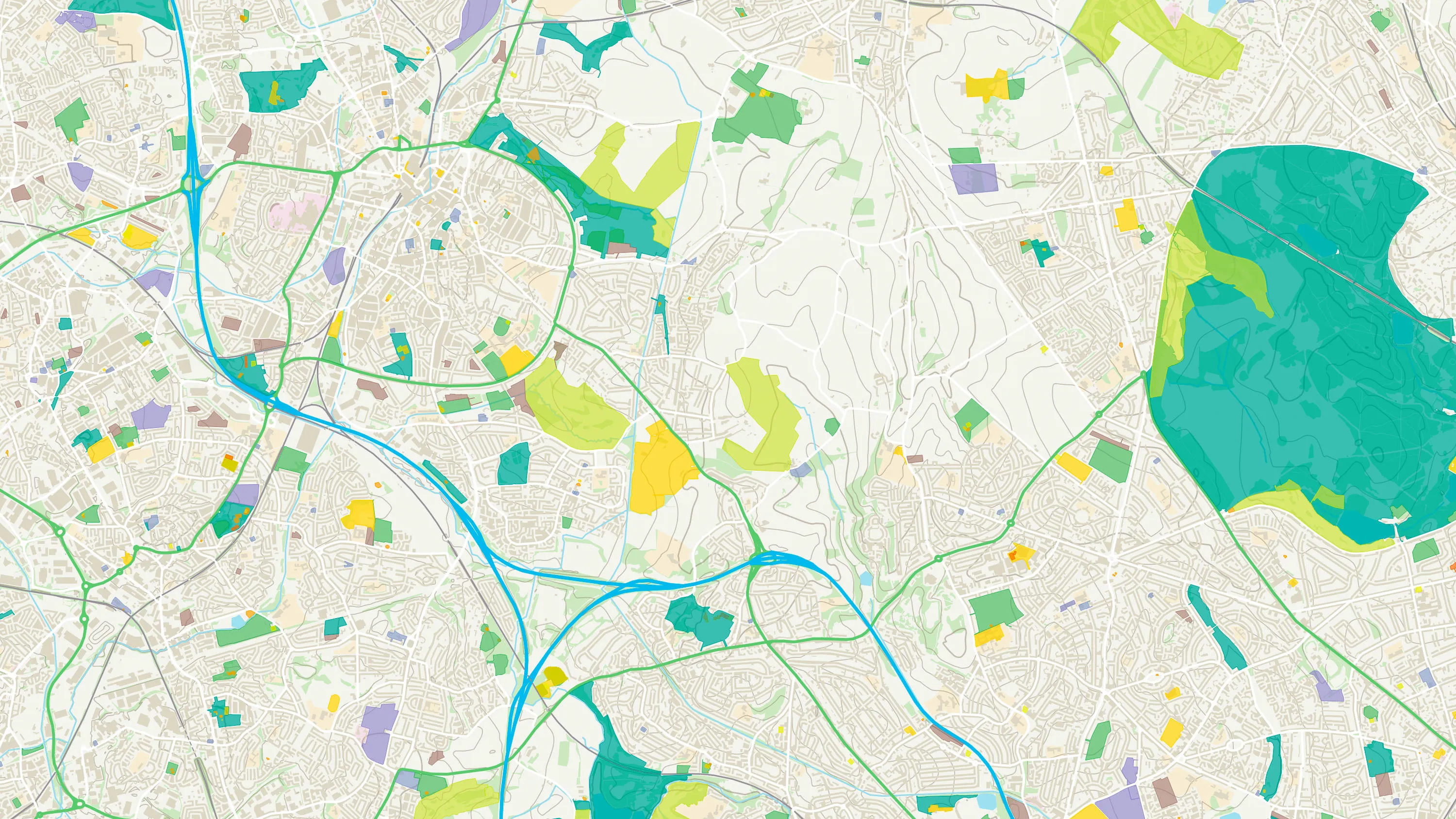
An open dataset of the high-level view of the road network in Great Britain.

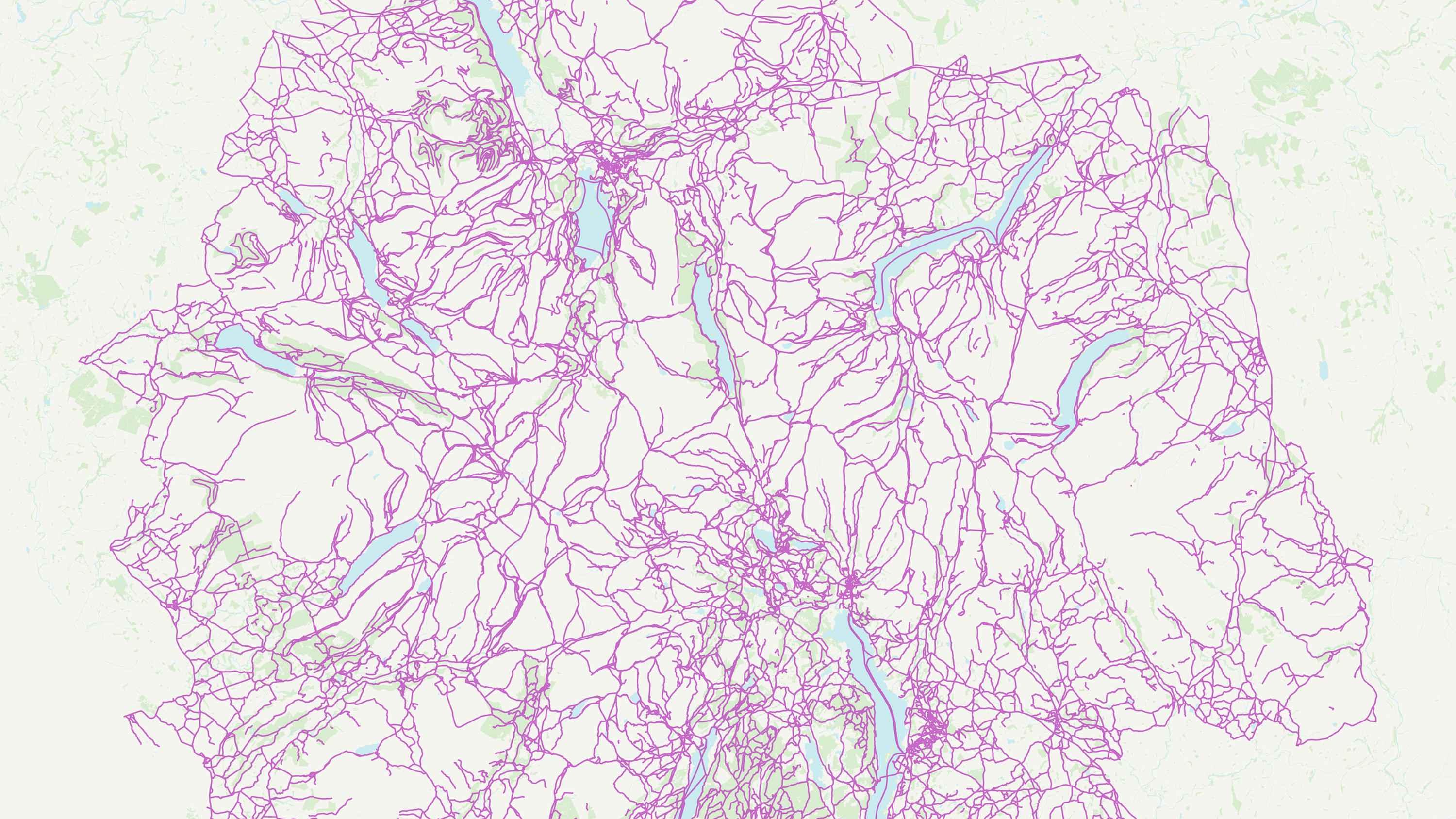
A path network dataset for Great Britain showing who is responsible for all the footpaths through towns and cities.

An open dataset of the high-level view of watercourses in Great Britain.
A routable fully-connected heightened path and track network for Great Britain.

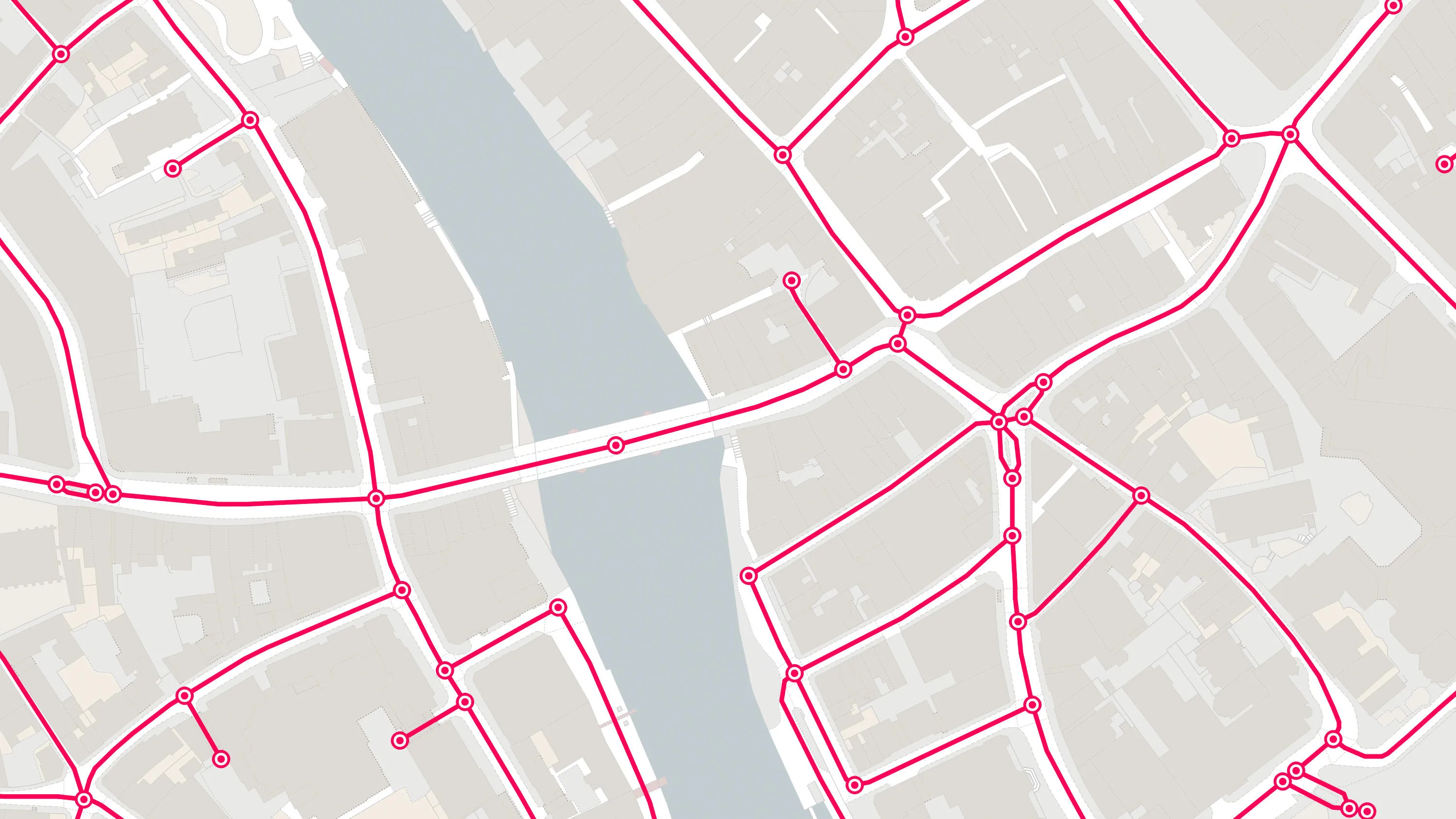
OS MasterMap® Highways Network is the most complete, detailed and accurate navigable road network dataset for Great Britain.
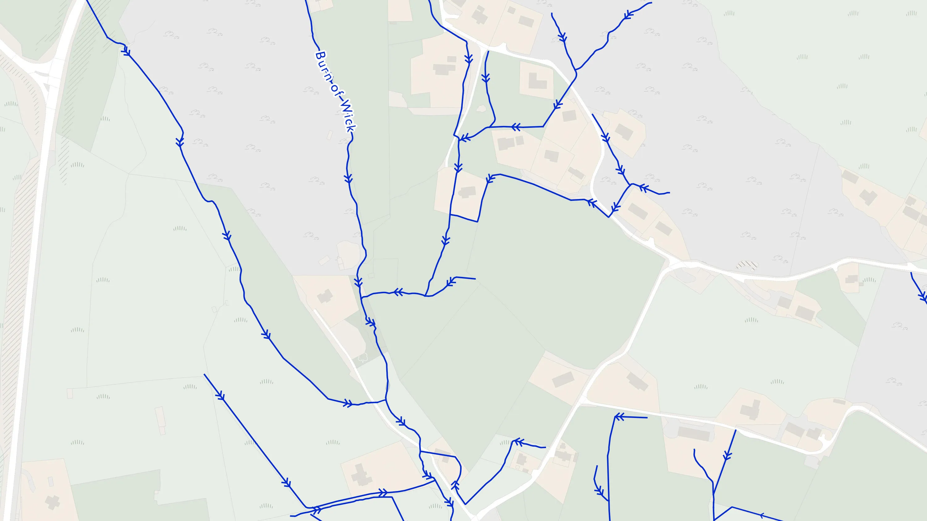
A heightened water network dataset showing flow and precise course of every river, stream, lake and canal in Great Britain.