
NatureScot, Scotland’s nature agency, has developed a new digital tool for farmers to assess the environmental value of their land. NatureScot’s tool, Farm Biodiversity Scotland, known as FarmBioScot, is being tested by farmers and crofters – allowing them to map habitats, asses...
Case studies
Discover how Ordnance Survey data is driving more efficient decisions in organisations like yours
Found 26 results
Page 1

Lancashire County Council improves road safety planning with OS NGD Transport data
Lancashire County Council (LCC) is the local authority for the county of Lancashire, in England. The county council serves everyone living and working in Lancashire, providing key services and support for the region.
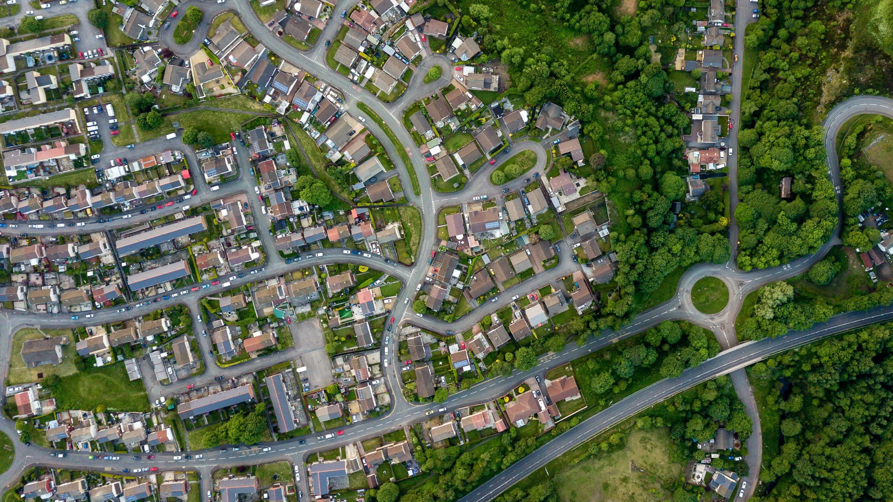
Enabling cleaner, greener communities with robust litter data
Keep Wales Tidy is a charity that has been developing a brand-new litter data methodology, taking pride in improving public spaces across Wales and protecting the environment now and for the future.

National Highways making road journeys safer
National Highways are the government appointed authority responsible for operating, maintaining, and improving England’s motorways and major A roads – totalling 4,300 miles of Strategic Road Network (SRN).
The RedLine Operational Boundary that surrounds England’s Strategi...
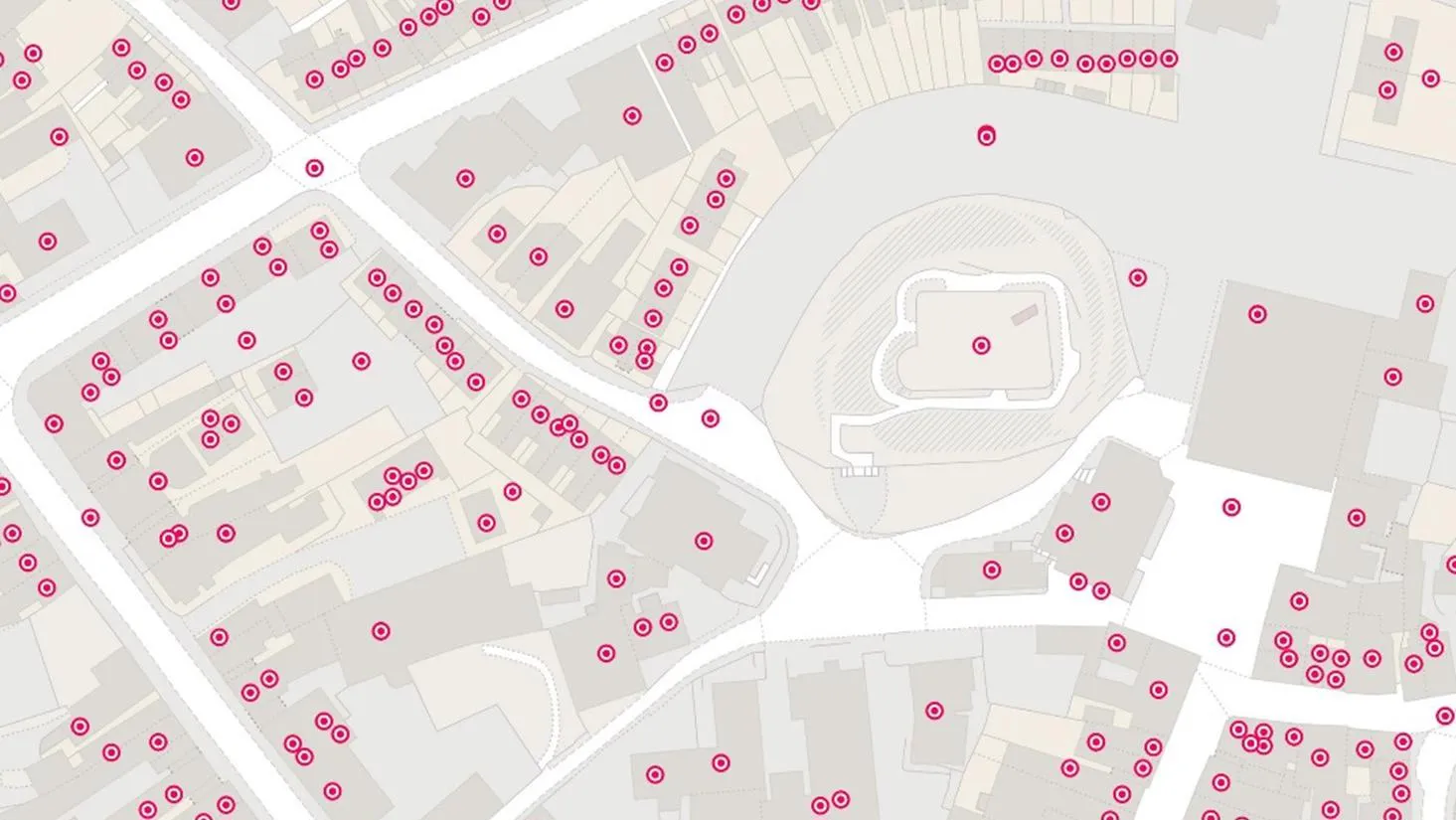
Proactive customer service with quality addressing data
Ordnance Survey helped to enable a master source of address information to be collated into a central hub that Scottish Water, their partners, and agencies, can use to seamlessly manage the lifecycle of an address.

Identifying the wider determinants of health
Researchers at the Clinical Effectiveness Group, at Queen Mary University of London, are linking de-identified (or pseudonymised) data on 'people' and 'places,' to inform powerful health research and better location-based care.

Zoopla & the UPRN
As a key player in the property sector, Zoopla are invested in discovering and implementing new ways of improving their data quality; anything which might help reduce fall-throughs, speed up conveyancing, smooth the sales processes, and ultimately, optimise their services.

Plotting the possibilities, with Plot Map
PropertyData empowers property investors, developers, and agents to make data-driven decisions with ease, at low cost. Plot Map, PropertyData’s high-resolution map of target developments (including everything from buildings and boundaries, to planning applications and land values) gives cus...

Highlighting development opportunities faster with MapServe’s Highlight tool
With greenspaces a growing priority for those helping shape the built environment, fast and efficient research, analysis, and data is crucial for more sustainable development.
OS Partner, MapServe, work with various clients, from architects and town planners, to arboculturists – peop...
You have viewed 9 of 26 case studies