Case studies

Discover how Ordnance Survey data is driving more efficient decisions in organisations like yours

Filters (0)

Showing 14 results
    • Page 1
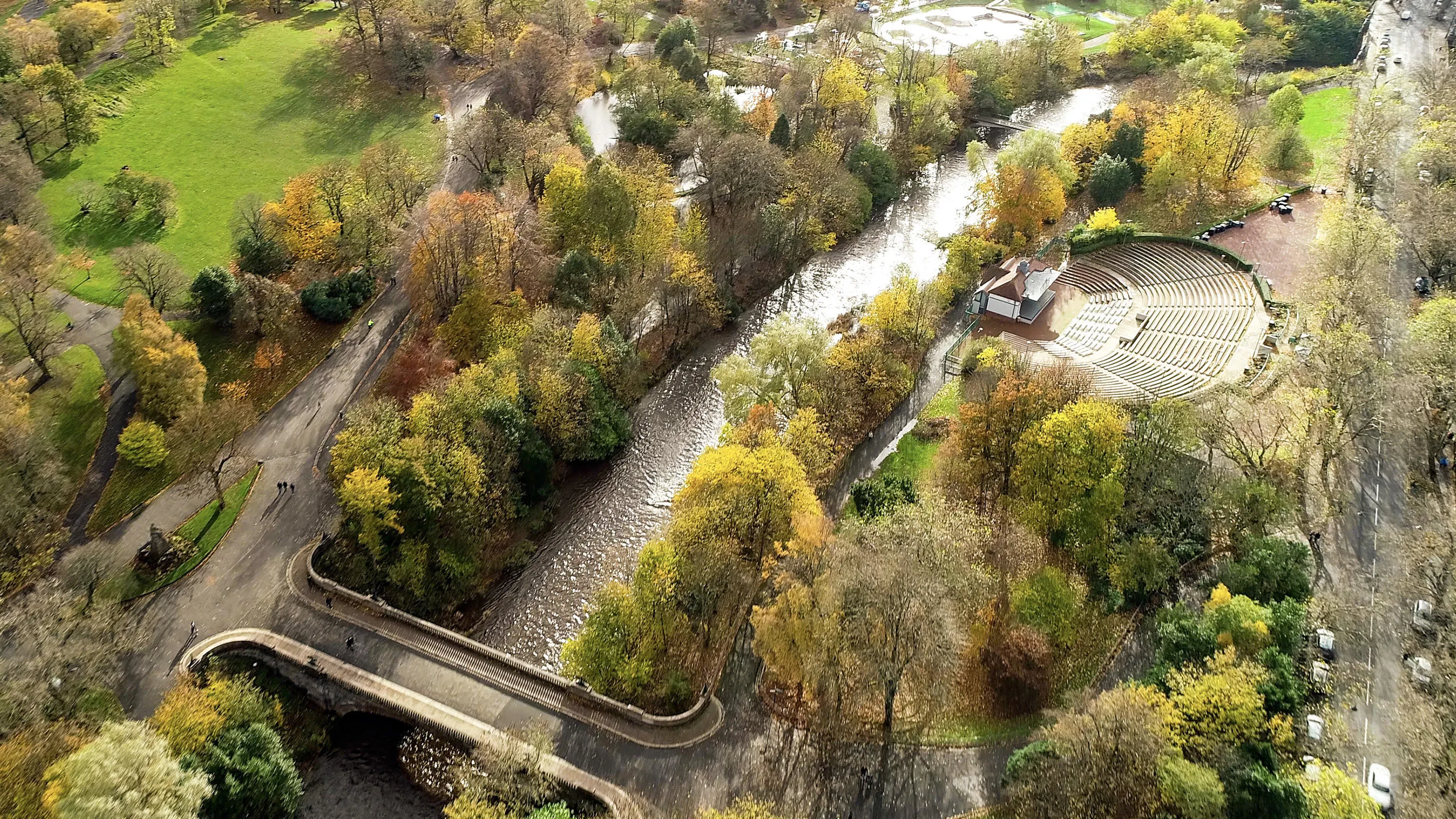
    • Greenspace is the urban ecosystem – protecting our biodiversity, our physical and our mental health.

      Greenspaces are also, according to Scotland’s parks and greenspace charity, greenspace scotland, a potential source of local green energy.

      ParkPower is a Scotland-wide pr...

    • Department of Energy and Climate Change (DECC) works with Ordnance Survey (OS) to make sure the UK has secure, clean and affordable energy supplies.

      DECC has combined data from a number of different sources to create the National Energy Efficiency Data-Framework (NEED) which is used to eff...

    • Supporting local economic growth in Milton Keynes with geospatial data.

      Ordnance Survey (OS) provides geospatial datasets to help the MK:Smart Future Cities project in Milton Keynes.

      MK:Smart Future Cities project (MK:Smart) is a large collaborative initiative, partly funded by HEFC...

    • Morrison Data Services (MDS) is the largest independent multi-utility metering services company operating in the UK. It supports critical energy and water providers including British Gas, EDF, Thames Water, and Southern Water. With over 50 million energy and 9 million water meter readings made an...

    • Absolar, an OS Associate Partner specialising in renewable energy management, helps end-users enhance their sustainability and energy efficiency by identifying the ‘solar potential’ of a given location. 

      Its technology and services can remotely survey properties, to determ...

    • Southern Housing is one of the largest housing associations in the UK, owning and managing over 80,000 homes across London, the Midlands, and the South East.

      A not-for-profit housing provider, its social purpose is the foundation for all its work. Southern Housing is determined to maximise...

    • Scottish and Southern Energy (SSE) maintains 48,500km of high-voltage overhead power lines supported by wooden poles in Great Britain.

      Ordnance Survey (OS) helped SSE to locate problems more efficiently, without the need for multiple site visits, as described in this case study.

    • With the Scottish Government's ambitious targets for increasing renewable energy generation up to 2020, Scotland’s onshore wind generation will continue to grow.

      This case study shows how effective guidance, utilising spatial data, can help local Government Authorities to deliver thi...

    • This case study describes how Department of Energy and Climate Change (DECC) worked with Ordnance Survey (OS) as part of its Smart Meter 868MHz HAN trial to predict the number of premises at which a 868MHz HAN solution would work.

      Through this OS supplied a tabular, spatially-derived datas...