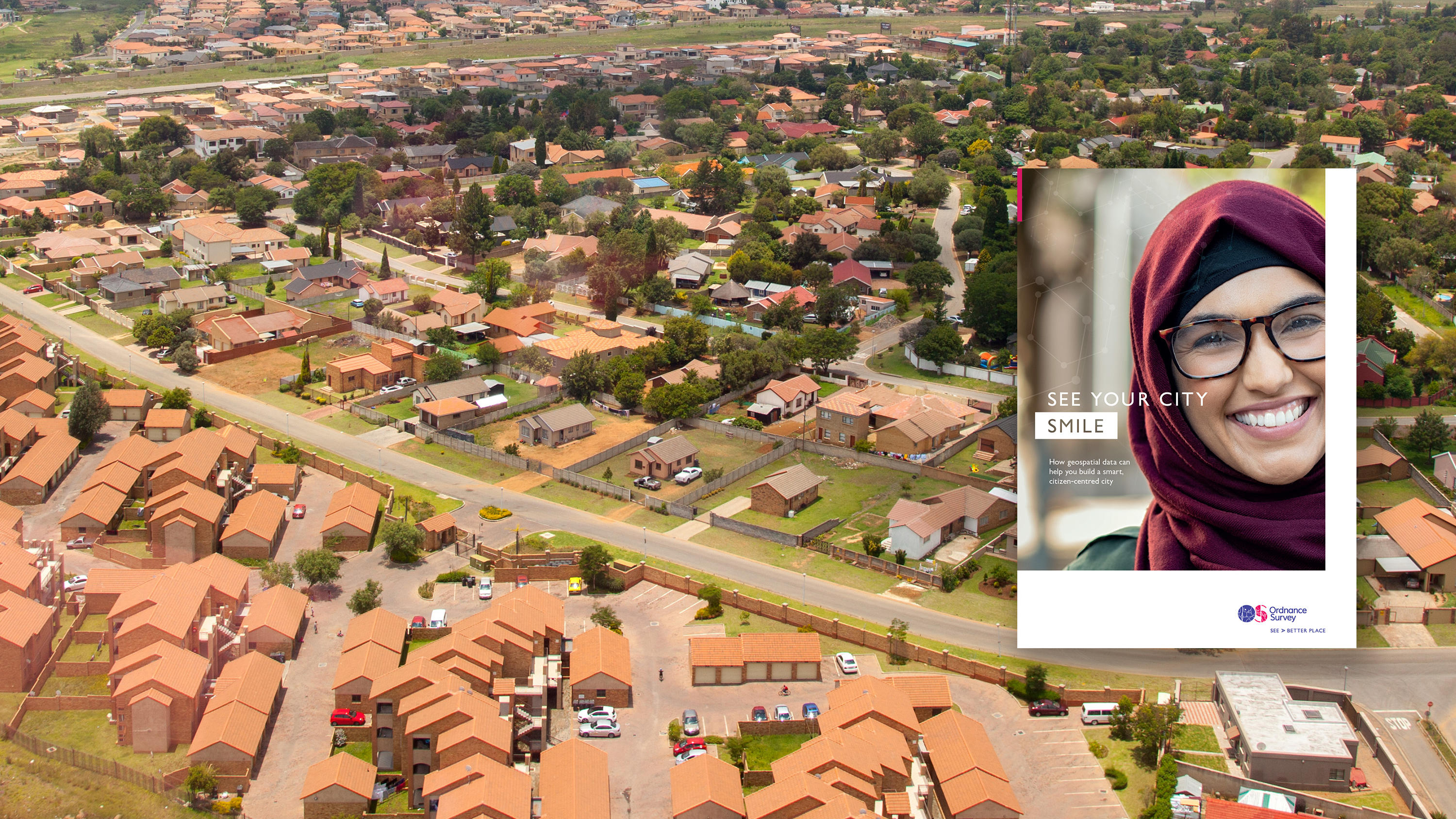
Realising this new kind of city requires understanding what currently exists, what has previously worked, and what innovations can be achieved that improve on everything that has gone before. And in an increasingly fast paced world, it is critical that this data offers feedback loops in the milliseconds, making it real time, rather than months or years.
Geospatial data created by Ordnance Survey is comprehensive, precise, flexible, usable, and current. It is the geospatial data upon which you can lay the strongest of foundations for your cities, and deliver the fulfilling, happy lives your citizens wish to live.


