Climate change is the greatest challenge that humanity will face in the 21st century. It‘s a geographic problem and solving it will take a geographic solution. Thanks to the advancement of geospatial technologies, it’s now faster, easier, and more cost effective to monitor and manage environmental changes. Location data is key in the fight against climate change and meeting sustainable development goals.
See a brighter future
Meet your sustainable development goals
Use geospatial data to put sustainable development measures in place and help protect your people, the planet and prosperity.

Tackling climate change
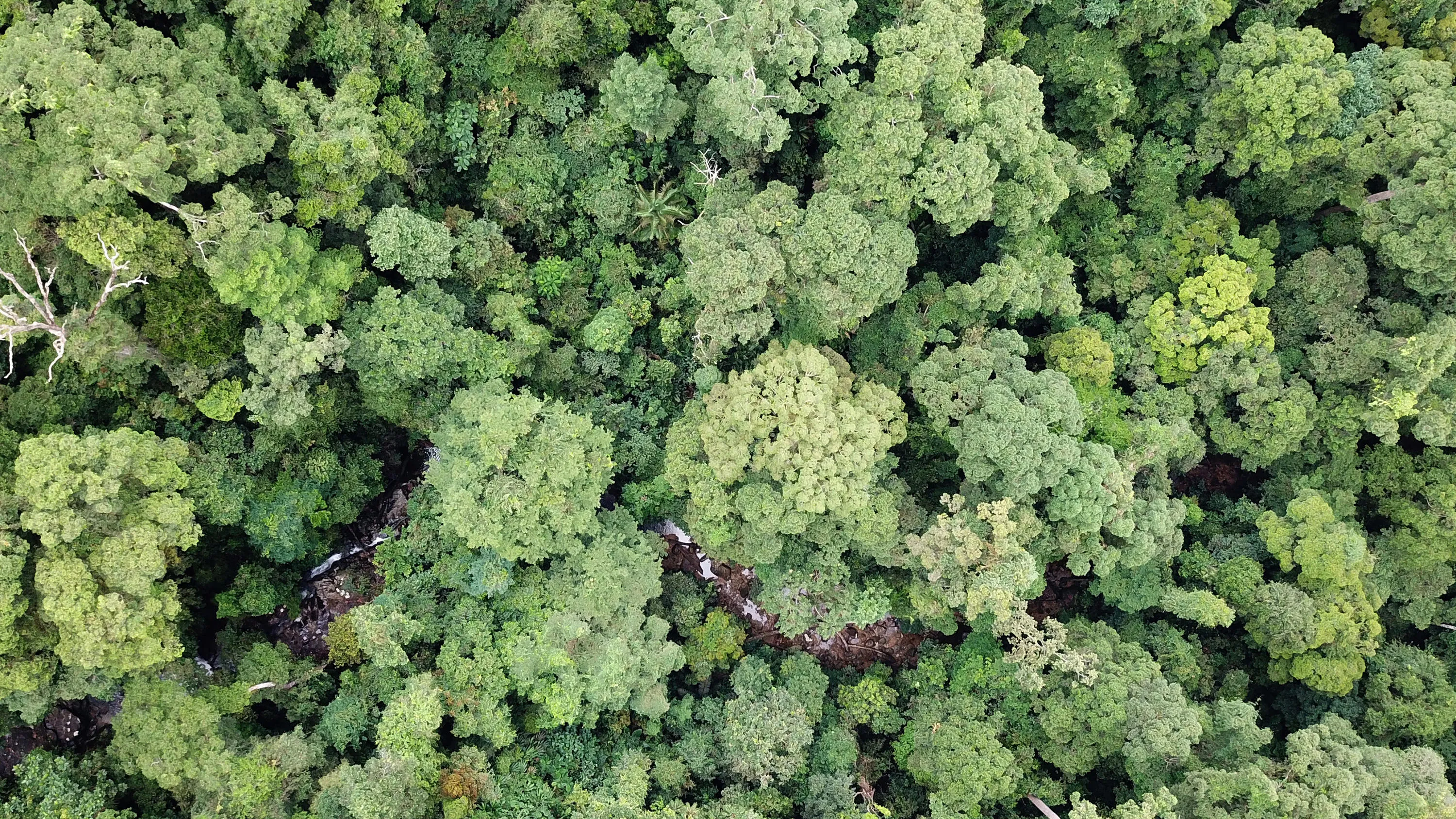
Monitor, predict and prevent environmental degradation, including deforestation
Provide food security, giving people access to safe and nutritious food
Prepare for and respond quickly to national disasters, and manage crises efficiently

Investing in your nation’s geospatial capabilities means you can:
- Understand how climate change impacts different sectors and regions in your country.
- Make informed decisions about how to mitigate its impacts.
- Make smart investments that maximise environmental benefit.
- Demonstrate the results of these decisions to citizens and investors.
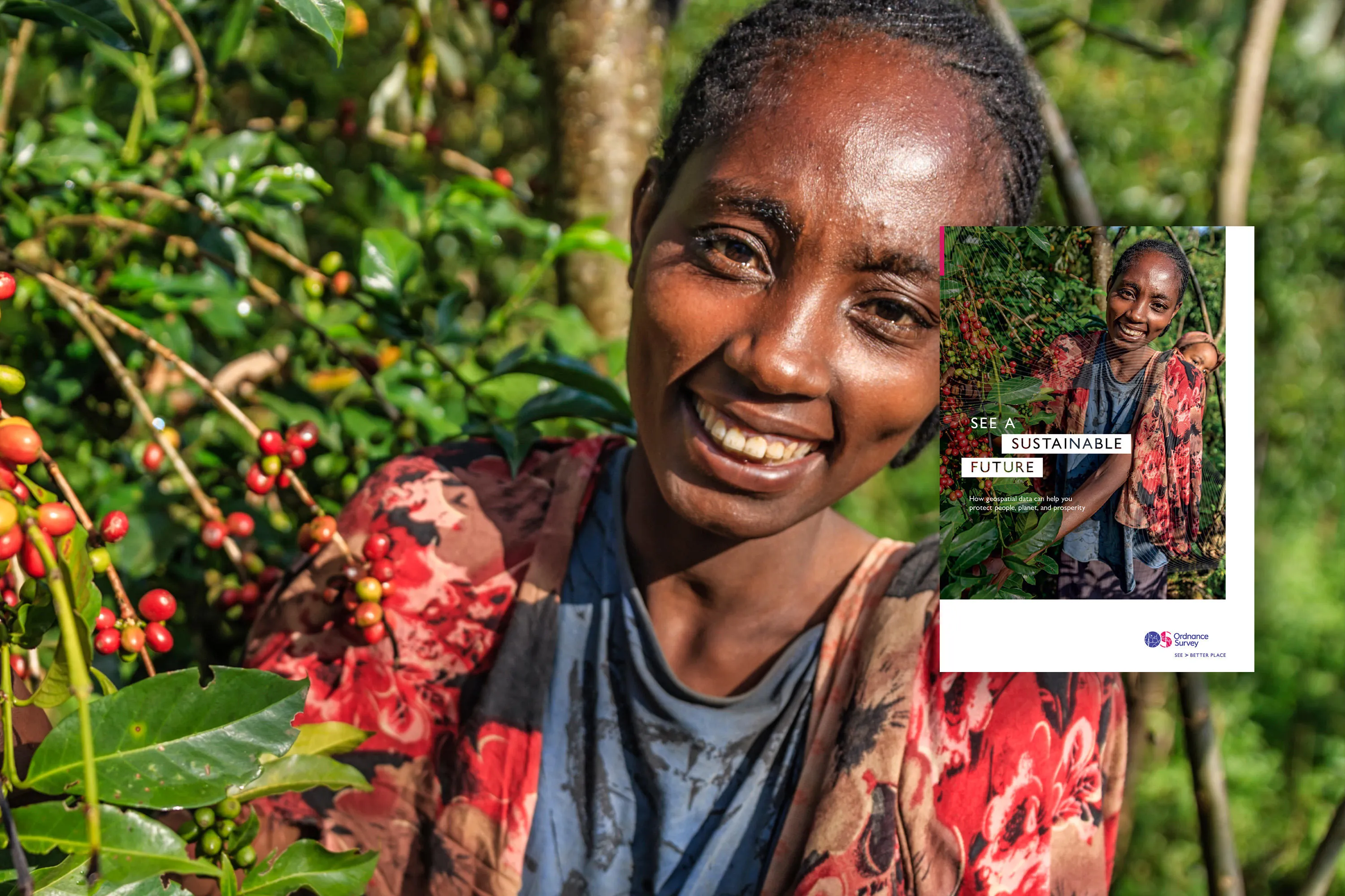
Download our sustainable future report
Get free insight into how geospatial data can help us protect the environment and plan for a better future - in Africa and across the world.
Download report now (PDF)See how other countries are using geospatial data to create a sustainable future
Monitoring UAE environments with Earth Observation data
We worked closely with Deimos Space UK and Mohammed Bin Rashid Space Centre to help Dubai automate its production of geospatial information so it can monitor climate change from satellites.
Geospatial roadmap helps Abu Dhabi meet environmental objectives
We worked with Environment Agency – Abu Dhabi to produce a detailed geospatial roadmap to help decision makers capture, maintain, and analyse environmental information.
Helping Guyana achieve its sustainable development goals and capabilities
We created an action plan, identified stakeholders, and implemented training to help Guyana manage its national geodetic position network and achieve its sustainable development goals.
Mapping nature - climate change resilience and managing deforestation in Indonesia
Head of the Geospatial Information Agency of Indonesia explains the country's environmental sustainability challenges when tackling natural disasters and climate change.
Related information
Grow your economy
Drive economic growth, technological innovation, and sustainable development with geospatial information.
Land ownership
Geospatial data can help you establish land rights to fuel socio-economic growth and achieve a more sustainable and equal nation.
Resilience
How location data can help safeguard against natural and human threats.
Urbanisation
See how geospatial data can help overcome urban poverty and build fair, prosperous and sustainable cities.
Citizen-centred city
How geospatial data can help you build a smart, citizen-centred city.


