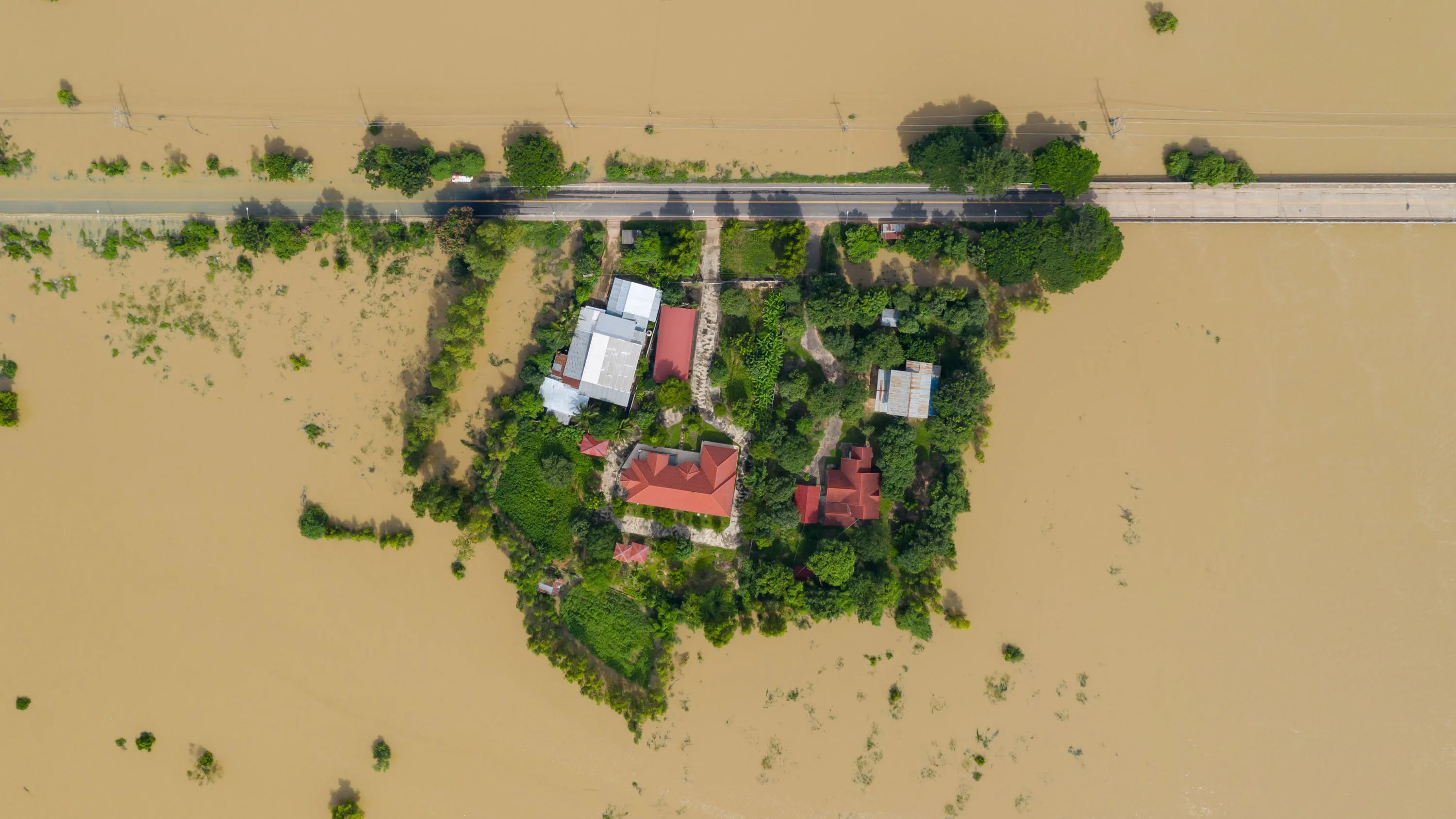
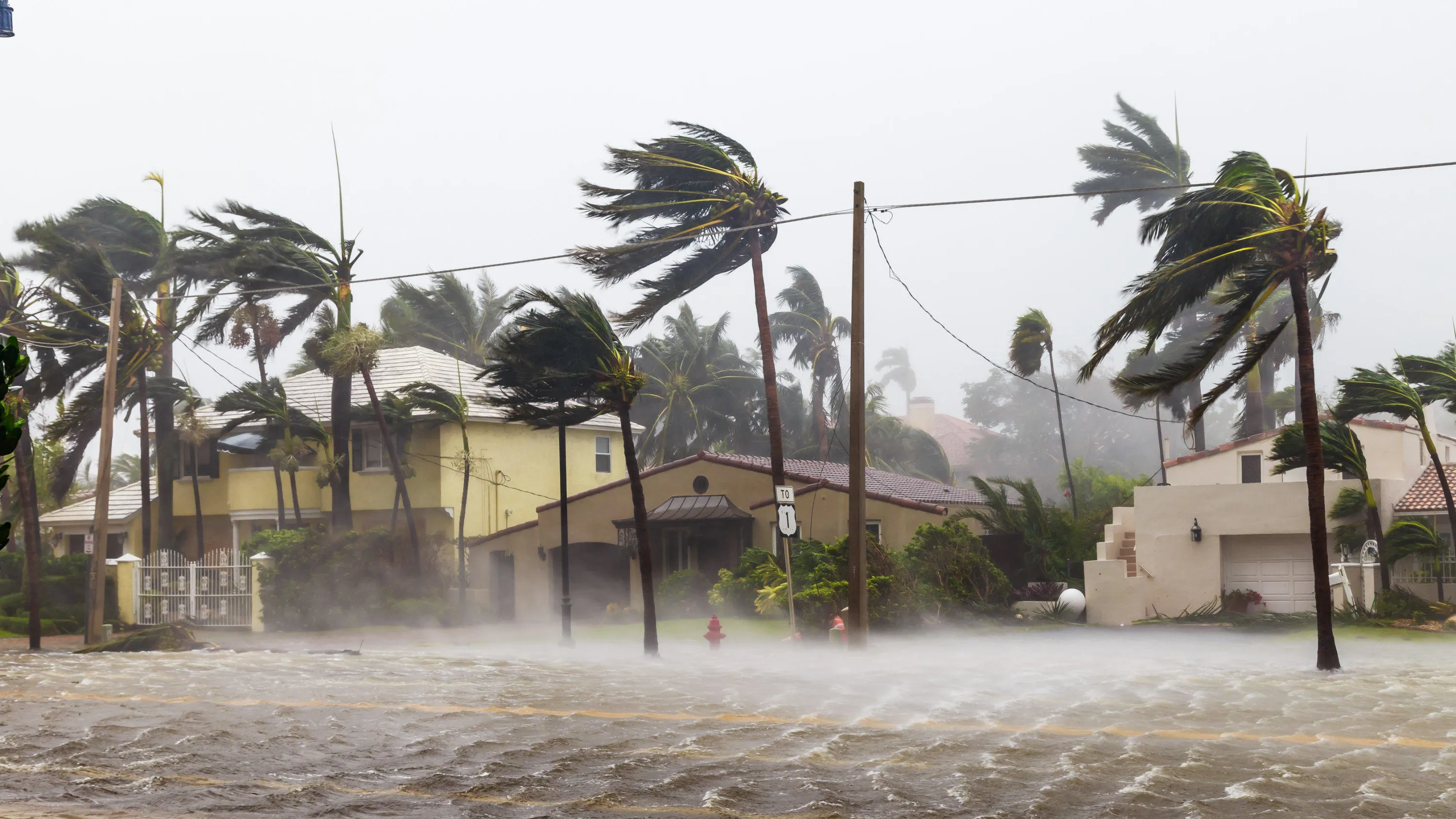
See a resilient nation

How location data can help safeguard against natural and human threats.

Geospatial data is the key ingredient in building more resilient nations.

Its potential to provide insight is virtually limitless.

To maximise your geospatial data opportunities is not simply about having the largest quantity of data available, it is about the quality of that data, and the ease with which it is shared with those who need it. It must be de-siloed, and highly interoperable for it to be the golden thread that is required between different agencies, both in the public and private sectors.

OS has the unique capabilities and vast experience of creating and managing geospatial data that puts it at the very forefront of helping nations collect, visualise, contextualise, and analyse their data to create the resilience they want to see in their societies.

Preparation


Prevention is better than cure, and the mark of a truly resilient community is one that is prepared and equipped to deal with eventualities before they occur, rather than developing a strategy in the midst of a disaster.

Response


In times of crisis, it is imperative that the correct information is available immediately in a shareable manner to enable the most appropriate urgent action. Real time data, along with trusted and authoritative location data, is crucial to achieving that.

Recovery


Geospatial data is particularly effective in planning for and responding to changing environments and disaster events, it also has a very significant role to play in enabling regions and people to build back better, more resilient infrastructure.

Integrated location data offers a mechanism to:

  • Mitigate environmental hazards
  • Reduce security threats
  • Improve healthcare resilience
  • Increase food security
  • Design resilient infrastructure

Explore the capabilities of geospatial data to secure a more resilient future for your nation.

Download our Resilience report

Understand how to equip your community against major threats and ensure quick and effective action during an emergency.

Download the report (PDF)

Read more insights

Related information

  • Grow your economy

    Drive economic growth, technological innovation, and sustainable development with geospatial information.

  • Land ownership

    Geospatial data can help you establish land rights to fuel socio-economic growth and achieve a more sustainable and equal nation.

  • Sustainability

    Meet your sustainable development goals. Use geospatial data to put sustainable development measures in place and help protect your people, the planet and prosperity.

  • Urbanisation

    See how geospatial data can help overcome urban poverty and build fair, prosperous and sustainable cities.

  • Citizen-centred city

    How geospatial data can help you build a smart, citizen-centred city.