OS expertise helps lightning-fast broadband roll out
Knowledge and data used for hard-to-reach homes all over Britain
Press Office
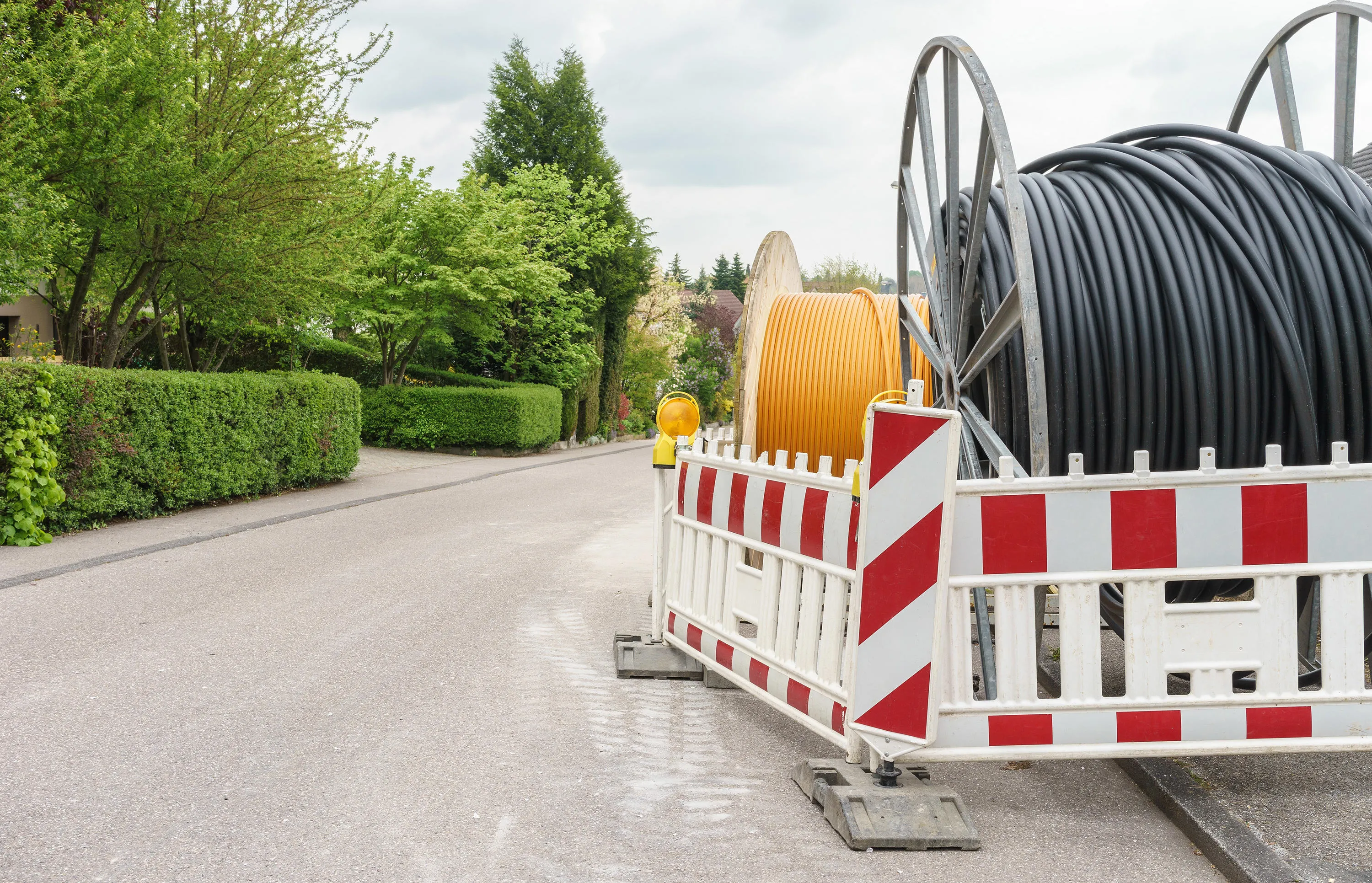
When the Government announced it was investing £5 billion to deliver super-fast (gigabit capable) broadband to homes and businesses all over the UK, there was a tricky stumbling block to overcome.
How do you connect those hard-to-reach premises in remote communities such as farms?
Government agency Building Digital UK (BDUK), faced with the dilemma of levelling-up connectivity in rural areas, enlisted the help of Ordnance Survey (OS). Simon Willcocks, GIS Developer for OS, was brought in for six months to work alongside the BDUK team.
Up until that point, the modelling for planning out how infrastructure should be laid tended to be analysis based on straight lines between premises. But in locations such as Cumbria, with its range of rural areas characterised by long winding roads and mountains and lakes, planning to connect properties in ‘straight lines’ wasn’t feasible.
Simon introduced OS roads and path network data (known as OS Highways, Roads and Paths) to combine with OS datasets on addressing, routes and buildings. This was added to BDUK’s data, along with information from third-party suppliers. Taking all this, and then using Geographic Information System (GIS) mapping techniques, a much richer, visual picture of the country could be created.
Simon said: “BDUK already used OS’s addressing product. But what it didn’t have was our Highways, Roads and Paths data.
“It meant they could only deal in straight lines. But when you look at real-world geography and the nature of roads, hills, rivers and lakes, you can’t really use a straight-line methodology for that.
“That is where I came in. I was asked to create a new routing model that would use the geographically correct network so that when BDUK came to having discussions with suppliers about connecting these hard to reach premises, they’ve got a visual representation of the actual connection to that property from its nearest source of fibre, running fibre along the road network.”
The visual model was powered by Unique Property Reference Numbers (UPRNs). This data was far better than relying on postcodes, which are far too broad and can include up to 100 properties within them. UPRNs are more granular and serve as a unique identifier for an addressable location – whether that’s a building, a house, or an individual flat in a block. For example, BDUK did not have enough quality data on the exact locations of fibre infrastructure. When looking at a map on screen, it made it impossible to predict where a cable had previously been laid and where it was running to. By using OS Highways, Roads and Paths data and UPRNs, Simon’s model was able to show every non-fibre address and how far away, along roads, it was to its nearest source of fibre. This meant suppliers could work out whether one route could connect multiple UPRNs, compared to another which wouldn’t and end up being a waste of cable.
Simon said: “It helps improve decision making, because you can see accurately how long a length of path would be before you dug it up, and you can accurately calculate the costs of development. It makes the cost calculation more realistic."
“The simplest and most obvious benefit was the cost."
“You can take an area that a supplier gives you, take a list of UPRNs and calculate the cost by distance and how much it would be to connect everything up.”
He added: “I was there to provide the real-world context for what was going on around the addressing and all the technical information that they’ve got assigned to UPRNs. It led to being able to predict the trunk infrastructure where cabling already existed. This was just a way of producing some more accurate costs and inferring where some of the existing infrastructure lies.”
The OS data supporting BDUK was made available through the Public Sector Geospatial Agreement, and Simon’s secondment was part of this. In addition, his six-month spell has left BDUK with a greater awareness of the power of geospatial data and helped improve its own skills and capabilities.
“It felt great to reflect on incorporating our geospatial data into what they do, to help get their outcomes and also to encourage BDUK to recruit geospatial scientists into their team,” he said.
"I was there to provide the real-world context for what was going on around the addressing and all the technical information that they’ve got assigned to UPRNs. It led to being able to predict the trunk infrastructure where cabling already existed. This was just a way of producing some more accurate costs and inferring where some of the existing infrastructure lies.”"
Sharing the latest news about OS. We can license you to use OS maps in print, online and film format. For more information and resources for journalists, bloggers and media professionals, email pressoffice@os.uk or call 023 8005 5565.
Find more news
- Connectivity
- Utilities and telecoms
- Government and public sector
- Telecoms
- Great Britain