News
The latest news and press releases from Ordnance Survey
Filters (1)
- Page 1
- News
- News
- News
- News
- News
- News
- News
- News
- News
Ambulances set to benefit from new in-cab mapping technology
A new life-saving in-cab navigation application, underpinned by Ordnance Survey mapping, is being rolled out across all Ambulance Trusts in Great Britain.
Ordnance Survey announce new charity partnership with Mental Health UK
Ordnance Survey have announced a new corporate charity partnership with Mental Health UK.
Ordnance Survey supports the release of a new digital map of underground pipes and cables for the UK
Ordnance Survey supports the release of a new digital map of underground pipes and cables for the UK.
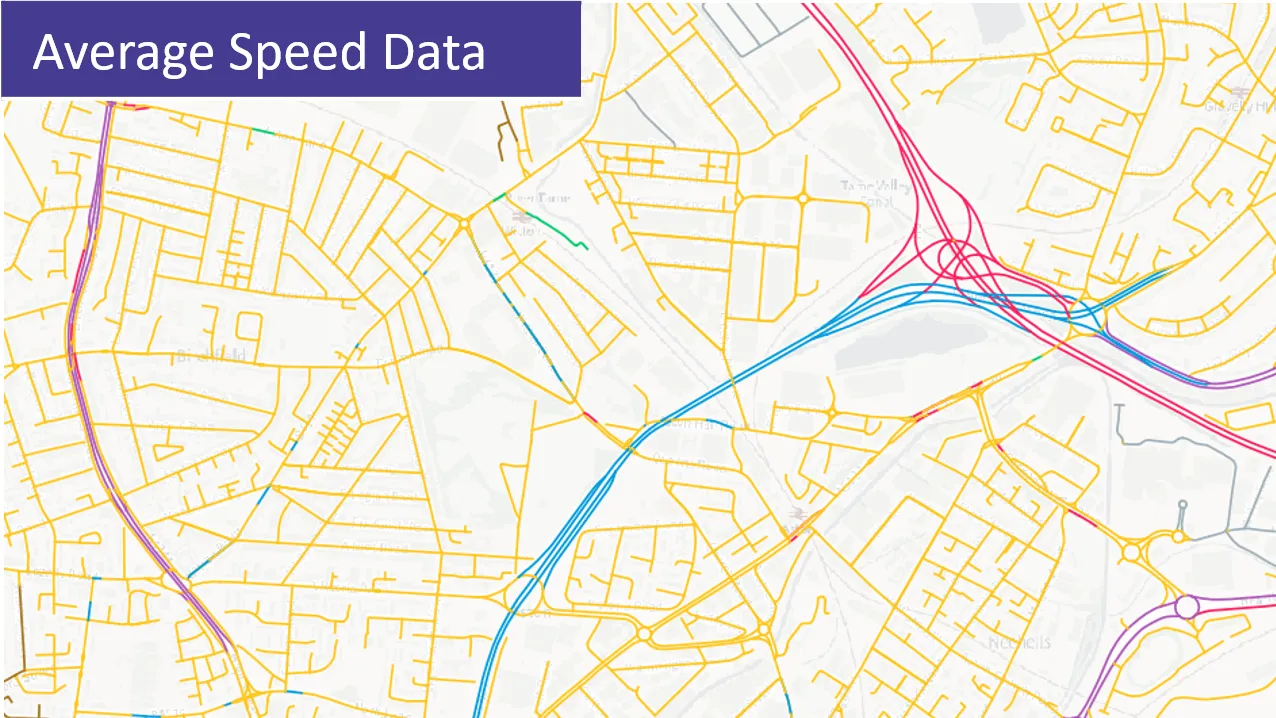
Speed Data added to the OS National Geographic Database
Public Sector users of OS data now have free access to comprehensive speed data for Britain's road networks.
OS expertise helps lightning-fast broadband roll out
OS geospatial know-how aids the UK Government to overcome problems of natural geography in a mission to bring ‘next generation’ connectivity to the nation.
Ordnance Survey and Northumbrian Water Group secure contract extension
Water industry giant signs a deal to change relationship with Britain’s national mapping service to consultancy and problem-solving partner.
Ordnance Survey supports the British Heart Foundation’s national database of defibrillators
OS has supported the creation of a defibrillator database that allows the ambulance service to identify them instantly and more accurately than ever.
Space data helps Earth adapt to climate change challenges
Satellite data will be used to monitor and map heat in locations at greatest risk of climate change in a new project being backed by the UK Space Agency.
How OS data is being used to support the roll-out of faster broadband
OS data is supporting 15 regional fibre broadband companies across GB.


