Blog
Read location data and geography related stories and commentary
Filters (0)
- Page 1
- Blog
- Blog
- Blog
- Blog
- Blog
- Blog
- Blog
- Blog
- Blog
Data visualisation
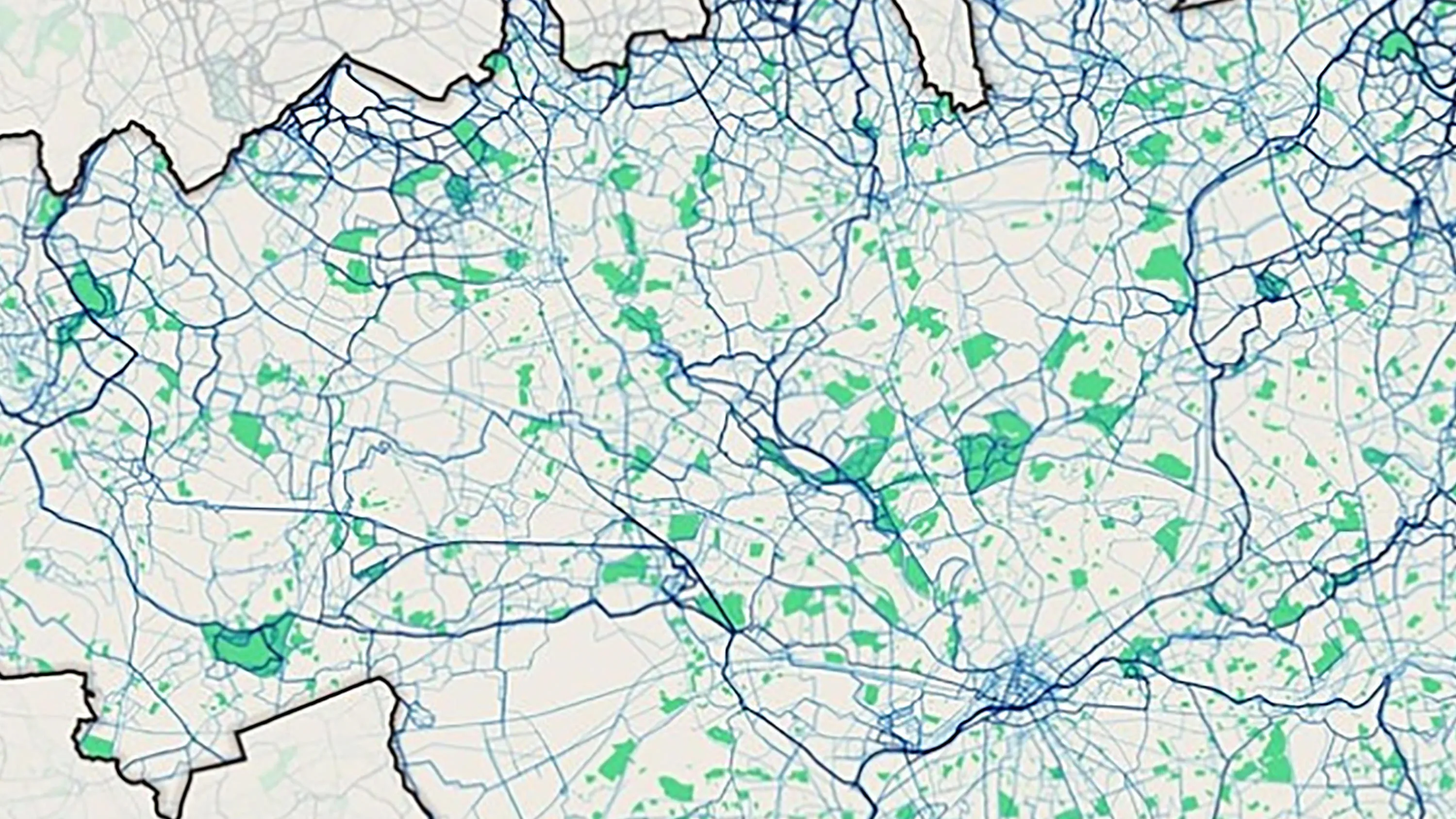
As part of our Developer blog series, we explore data visualisation. This term refers to the representation of information or data in a visual format.
What is authoritative data?
Data Management Specialist Nicole Frith takes a closer look at the ’Our Data Is Authoritative‘ principle and what this means for OS and our customers.
What is spatial data?
Spatial data is information about where observations are in relation to each other.
Elevating analysis: new roof attribution data released
Craig Wing, Data Management Specialist for Ordnance Survey, provides an overview of the recent data release for the ‘Building feature type’ in the OS NGD.
Using OS's new buildings data attribute: number of floors
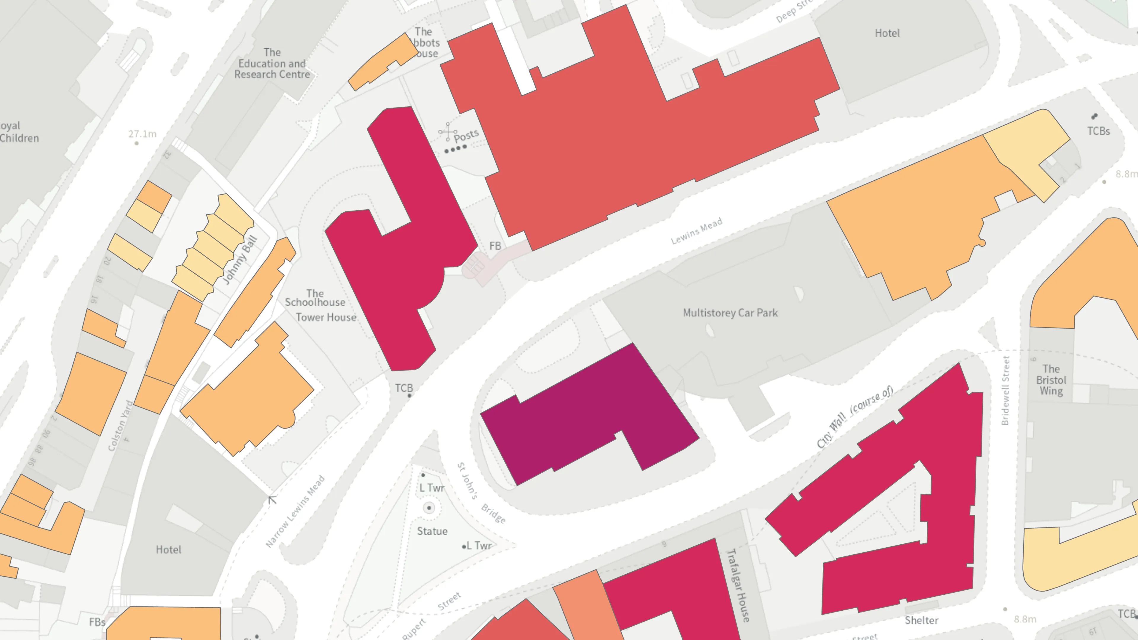
OS has included data on the number of floors in buildings, the 'numberoffloors' attribute, in the latest release of the OS National Geographic Database (NGD).
Ordnance Survey supports launch of open geospatial data in Scotland
Improvement Service in Scotland, supported by Ordnance Survey, has launched open access to their Spatial Hub, a local government data resource covering the whole of Scotland.
Developing geospatial skills for Data Scientists
A new geospatial module from OS was delivered to the first cohort of graduates enrolled on the Public Sector Data Science Graduate Programme.
How to deliver trustworthy real estate advice with location data
Location data is key to confidently valuing properties, identifying opportunities with trustworthy advice, and embracing sustainability.
Trends in the geospatial data market for 2020
Market research suggests the supply-side UK geospatial data market was worth £2.1 billion at the end of 2019.


