GIS means Geographic Information System. It is software that brings together maps and data for analysis, to better understand the world around us. GIS mapping allows people to create, manage, and analyse information about a location.

What is GIS?
Discover Geographic Information System (GIS), what it’s used for and how it works

What is GIS used for?
A GIS is used to link data to locations.
Approximately 80% of all information held in databases anywhere in the world contains some kind of geographic element. For example, records relating to a particular location, such as an address, building, property, or road junction.
There are many trends and relationships hidden in this geographic data, but it is only by using a GIS that these can be revealed.
Many companies use GIS technology as a central part of their activities, with an extraordinary range of applications in use.
How does GIS work?
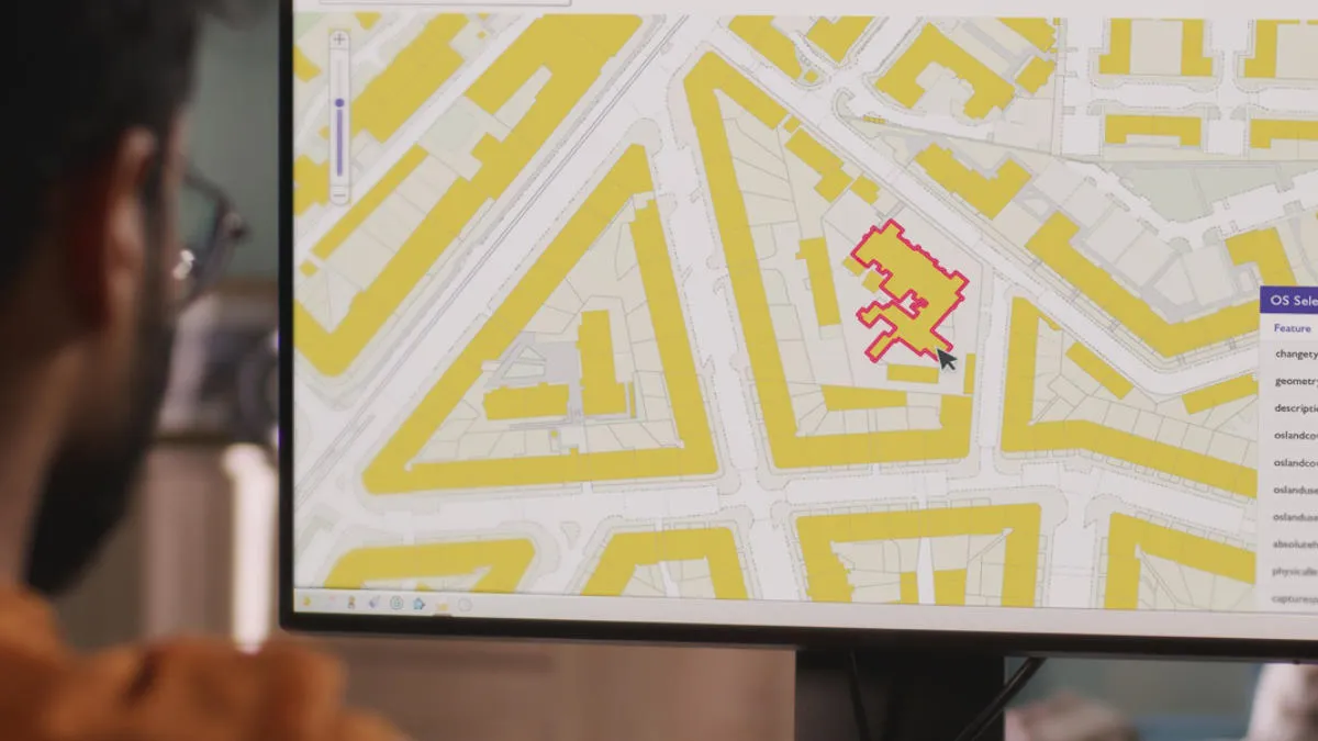
A GIS works by taking all the information from a map, and recording it in electronic form.
The process of capturing geographical mapping information in digital form begins with the classification of all features.

Look at any map – the different shapes and symbols are used to illustrate features. All map features can be divided into one of four different categories:
- Point (e.g. a cross symbol to represent a church).
- Line (e.g. a yellow line to represent a road).
- Polygon shape or area (e.g. a blue area to represent a lake).
- Text (e.g. the name of a building).

The GIS stores information about:
- Geometry: the shape and location of the objects.
- Attributes: the descriptive information known about the objects, normally displayed on a map through symbology and annotation.
For this information to be read by computers, it’s stored in digital form as raster and vector data.
GIS software
In this guide to choosing GIS software, Ordnance Survey have shared a list of recommended GIS mapping software solutions.
GIS data
Access accurate geospatial data through data products by Ordnance Survey, a major GIS data provider for Great Britain.
GIS for schools
OS has compiled a comprehensive range of GIS for schools tools to help you teach GIS skills to your students.
Uses of GIS
Explore the potential of GIS with real-world examples, from GIS in healthcare and emergency services, to local government and utilities.