GIS data

Find GIS data products

There are many different organisations producing GIS mapping data.

Ordnance Survey (OS), as the National Mapping Agency, is a major GIS data provider for Great Britain. There is a large industry in GIS software and GIS online mapping tools, with hundreds of companies producing thousands of products.

OS MasterMap Topography map of the Tower of London
© Crown copyright and database rights. Ordnance Survey 2025

Types of GIS data

The most common form of GIS data is based on topographic features: the features that make up the physical structure of the land surface. Topography includes the relief of an area (the shape of its surface) and the position of both natural and man-made features. 

In addition to topographical data, there are more diverse sources of information that can be linked into a GIS.

Aerial and satellite imagery can be incorporated into a GIS, and viewed alongside other data for the same area, as long as the ground extent of the image can be identified. The most powerful GIS applications use data taken from a range of different sources.

Address points without a map backdrop, compared against address points with a map backdrop
© Crown copyright and database rights. Ordnance Survey 2025

Ordnance Survey data and GIS

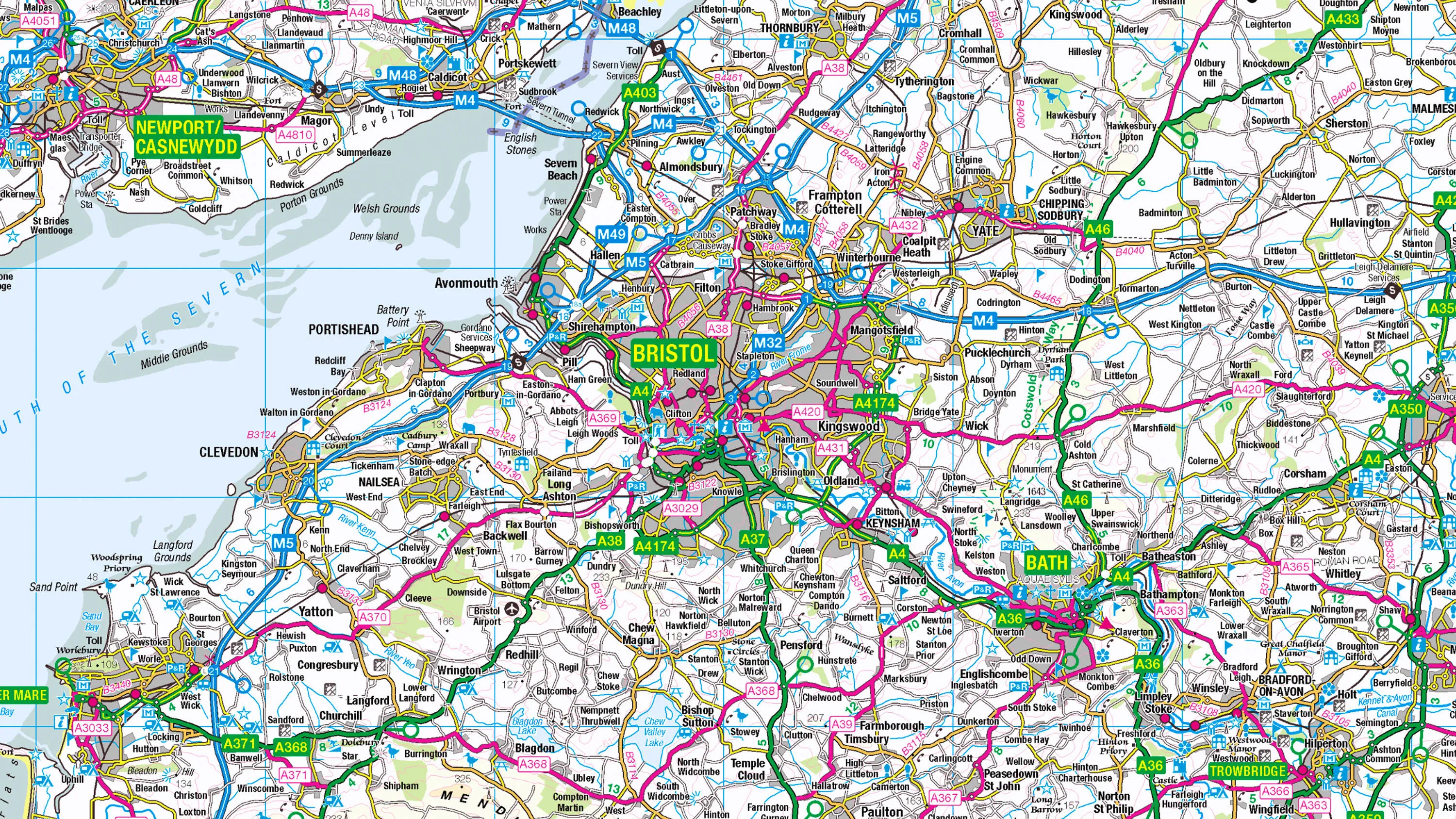
OS produces many different GIS data products, and the diversity of these products is an indication of the many different ways in which GIS mapping tools can be used.

OS data products range from simple raster images of road-atlas-style mapping to very detailed vector data extracted from the OS National Geographic Database (OS NGD). From every address in the country, to all the political boundaries for voting in elections, this database is incredibly detailed. It shows every house, every fence, and every stream in every single part of Great Britain.

But not all data in GIS will look like a map. For example, OS product AddressBase is not cartographic, but designed to be used in conjunction with other layers of information within a GIS application.

AddressBase can be used to identify specific properties against a map backdrop, or to link to other sources of associated information using the Unique Property Reference Number (UPRN).

Find GIS data mapping products

Discover the best geospatial data product for your needs.

Related information

  • Raster vs vector data

    Discover the differences between raster and vector data and its uses.

  • GIS software

    In this guide to choosing GIS software, Ordnance Survey have shared a list of recommended GIS mapping software solutions.

  • Uses of GIS

    Explore the potential of GIS with real-world examples, from GIS in healthcare and emergency services, to local government and utilities.