Discover how Ordnance Survey data is driving more efficient decisions in organisations like yours.
Case Studies
- Page 1
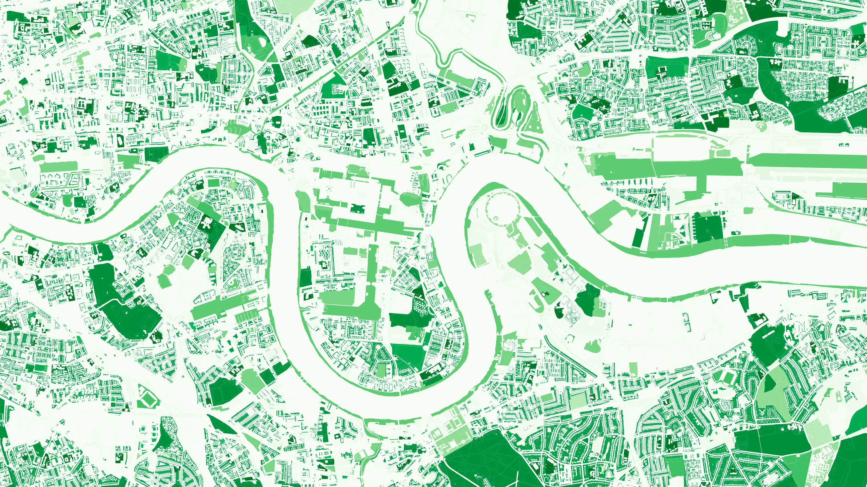
The importance of access to green outdoor spaces in relation to health and wellbeing is clear. However, deprived areas are less likely to have access to green space and gardens.
In 2021 the Government allocated £9 million of funding to a ‘Levelling Up Parks Fund’ to help...
As a key player in the property sector, Zoopla are invested in discovering and implementing new ways of improving their data quality; anything which might help reduce fall-throughs, speed up conveyancing, smooth the sales processes, and ultimately, optimise their services.
PropertyData empowers property investors, developers, and agents to make data-driven decisions with ease, at low cost. Plot Map, PropertyData’s high-resolution map of target developments (including everything from buildings and boundaries, to planning applications and land values) gives cus...
HM Land Registry safeguards land and property ownership valued at £7 trillion. The Land Register contains more than 25 million titles, showing evidence of ownership for more than 87% of the land mass of England and Wales.
Ordnance Survey’s large-scale data is vital to the land...
Tim Hopkin comes from three generations of farmers, and is revolutionising the way complex land use decisions are made, through the creation of The Land App.
The Land App is an admin tool for the British countryside, available for use by the nation’s landowners, land agents and manag...
The Office for Zero Emission Vehicles (OZEV) with the Environment Statistics (ES) team at the Department for Transport (DfT) are currently planning the future provision across the UK of electric vehicle (EV) charge points, as part of the commitment by Government to reduce emissions by 2050.
Balkerne has built a real-time risk intelligence platform to predict, prevent, and detect damage to property. Their digital platform, SmartResilience, integrates data using 35 different sources including location data from the OS Data Hub.
Solving what the UK Government calls ‘the broken housing market’, is one of the biggest challenges of our age. By using Ordnance Survey mapping and overlaying relevant data, Sprift, a UK tech start-up and OS Licensed Partner have brought together all the intelligence on any property i...
Read how OS geospatial data helped North Somerset Council save both time and money by making it easier for people to submit valid planning applications.