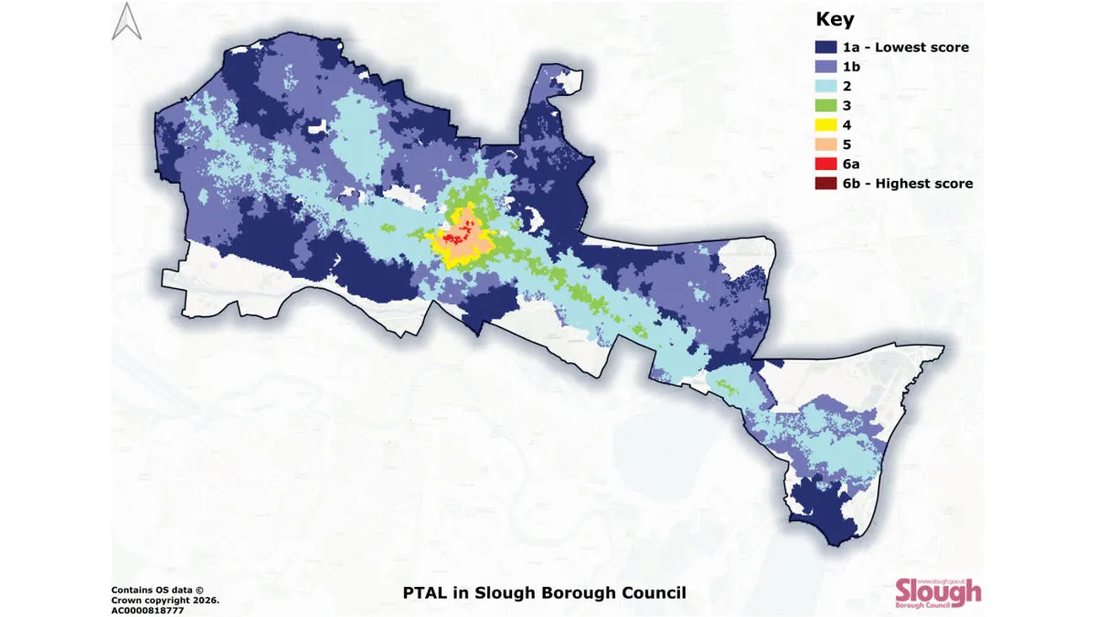
Slough Borough Council has used OS data to map public transport accessibility. Gaining a clearer picture means the council are now able to more effectively target interventions – to improve accessibility, and make public transport more inclusive throughout Slough.
Case studies
Discover how Ordnance Survey data is driving more efficient decisions in organisations like yours
Found 35 results
Page 1
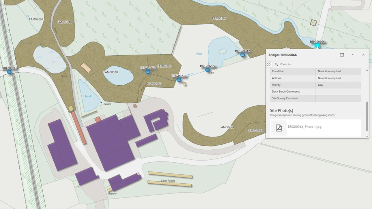
Crown Estate Scotland
Crown Estate Scotland manages rural estates — covering over 35,000 hectares of tenanted land, built assets, and infrastructure. Land use includes forests, historic buildings, farms, and more.
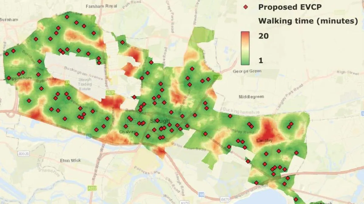
Modelling electric vehicle charging for a more sustainable Slough Borough Council
Slough Borough Council is on a mission to increase coverage of electric vehicle (EV) charging locations.

Optimising meter reading with intelligent routing
Morrison Data Services (MDS) is the largest independent multi-utility metering services company operating in the UK. It supports critical energy and water providers including British Gas, EDF, Thames Water, and Southern Water. With over 50 million energy and 9 million water meter readings made an...

For the good of the city, its wildlife, and you: The Thames Tideway Tunnel
Ordnance Survey (OS) Channel Partner, Landmark, is supporting the Thames Tideway Tunnel project, supplying ready-to-use data to enable informed decision-making.
The Thames Tideway Tunnel is a project run by Landmark’s client, Tideway. Tideway’s mission is to connect Londo...

The Road to the Happiest City on Earth
Dubai Municipality has a clear ambition to make Dubai the happiest city in the world in all aspects. As one of the fastest growing cities in the world, it is constantly evolving to accommodate new areas for retail, business, and services every day. This rapid and purposeful development is contrib...

Improving prescription accessibility
NHS England recognises that collecting prescriptions from pharmacies can be a challenge for some patients.

National Highways making road journeys safer
National Highways are the government appointed authority responsible for operating, maintaining, and improving England’s motorways and major A roads – totalling 4,300 miles of Strategic Road Network (SRN).
The RedLine Operational Boundary that surrounds England’s Strategi...
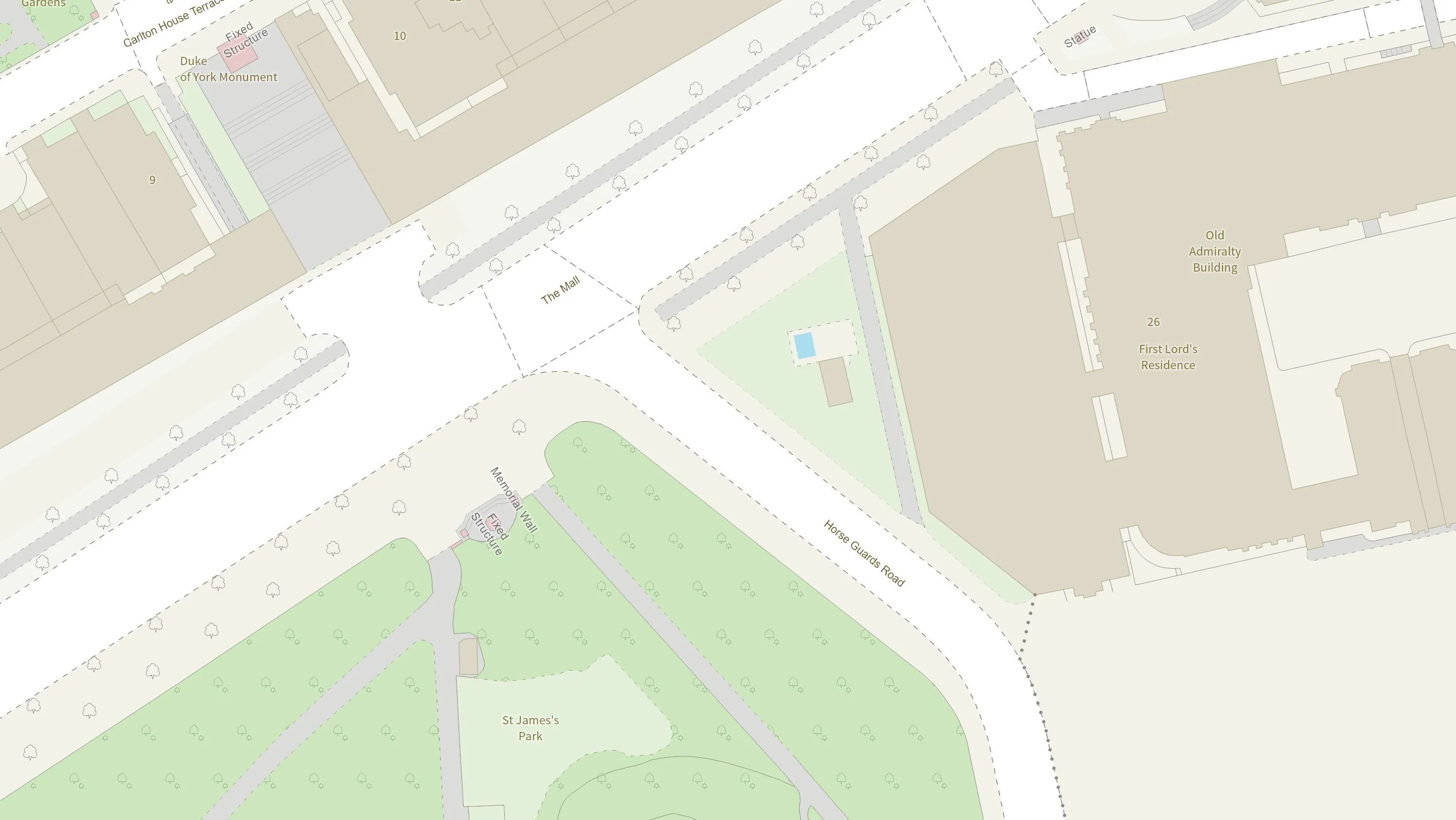
How the British Army use mapping APIs for battlefield training
The British Army is using Ordnance Survey mapping data to create training scenarios, and provide soldiers with accurate and realistic experiences.
You have viewed 9 of 35 case studies