Skip to content

Using GIS software

Learn how to optimise your data and get the most out of GIS.

Geographic Information Systems (GIS) are important tools to display and analyse complex data.

There are a few starting points you need to consider to make the most of your GIS:

  • What does your business or organisation need?
  • What problem are you trying to solve? How are you expecting GIS to solve your problem?
  • What data do you have available? Addresses or locations perhaps?
  • How does digital mapping relate to your problem? Do you need to map street names, route networks and land contours for instance?
  • Do you know what would be the most appropriate GIS to meet your business need?
  • What skills and IT resources do you have, to manage and work with geographic data?

You need to clearly define your needs before choosing the right GIS and deciding how to use it. If you are a department in a larger organisation, you no doubt will need to create a business case. Answering the above questions will help you do this.

Getting started

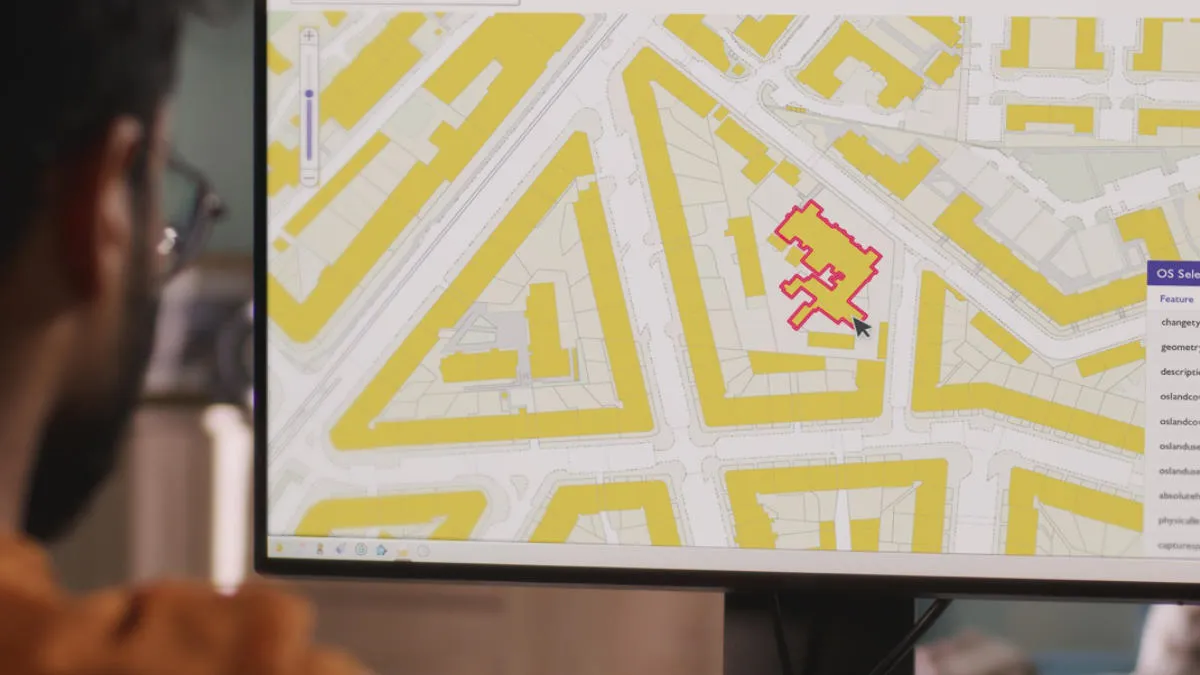
Once a feature is loaded into a GIS, any piece of information about that object can be linked to it.

Geospatial data includes attributes that could be determined from the original source material. Information from the original map might, for example, show a line feature as an A road, numbered A11. However, the GIS can be used to link this feature to any other information about it in other systems, such as surface type, average width, status for gritting, or number of accidents in the last year. This can lead to very powerful applications.

Who can use GIS?

Any organisation which holds information about geographical objects can load that information into a GIS as long as they have some map data containing the relevant objects. Therefore, it is not just the attributes of the geographical data that can be interrogated, but all kinds of information.

For this to work it is necessary to have some kind of common referencing system. This means the correct record in the geospatial data can be matched with the corresponding record in the non-geospatial data.

For example, Ordnance Survey (OS) holds a table of spatial information about rivers (name, location, length) and an environmental group holds a table of environmental information about rivers (name, sourcetype, nitrate pollution, flow rates). The two tables both contain the name of the river, so the two tables can be joined using the name attribute as the common reference. The joining of the tables gives the environmental information a spatial reference (location), so now the environmental information can be viewed on a GIS display.

This kind of application depends on the ability to establish links between the entities in the two sets of information. Often it is better to use a numerical referencing system understood by all users of a particular type of information, so that the specific features can be identified unambiguously. If you just use text names this can fall down if one set of information has a misspelt name or if there are duplicate entries. There are, for example, many stretches of river in Britain with the name attribute River Avon.

Ordnance Survey has developed its own common reference system using millions of Topographic Identifiers (TOIDs). These are unique 16-digit numbers applying to every feature in its large-scale database. TOID makes it a lot easier for users to link, combine or transfer information quickly and efficiently. This system is part of a massive project known as the Digital National Framework (DNF).

Ways to use GIS