
Ordnance Survey developed a transformation engine for strict and automatic mapping of IFC-BIM models into semantically enriched 3D CityGML building models, both exterior and interior. This work was completed with National University of Singapore (NUS) for the National Research Foundation (NRF) un...
Case studies
Discover how Ordnance Survey data is driving more efficient decisions in organisations like yours
Filters (0)
Showing 38 results
Page 1

Combining Dauntsey Parish local knowledge with Ordnance Survey (OS) digital maps to undertake a professional analysis of local flood impacts and risks.
- Dauntsey in north Wiltshire has experienced serious flooding, affecting as many as 44 homes.
- Using Geographic Information S

Ordnance Survey (OS) mapping enabled a local council to build an accurate picture of sites, which could be redeveloped for housing.
Broxtowe Borough Council used OS MasterMap to overlay relevant data and build a detailed and precise picture of local authority sites with potential for housi...

By automating their Local Land Charges search process using GIS, Teignbridge district council were able to cut costs by £60,000.
Prior to 2011, Teignbridge District Council was required to carry out Local Land Charge searches for solicitors on behalf of potential home buyers, but the...

HM Land Registry safeguards land and property ownership valued at £7 trillion. The Land Register contains more than 25 million titles, showing evidence of ownership for more than 87% of the land mass of England and Wales.
Ordnance Survey’s large-scale data is vital to the land...
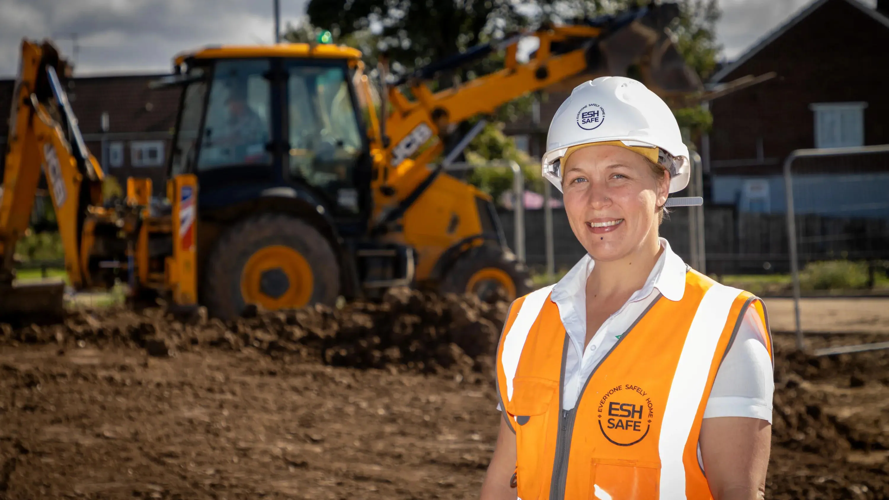
Esh Construction is one of the largest privately-owned construction businesses in the North of England, that operates throughout North-East England, the Tees Valley, Yorkshire and the Humber. It provides commercial building, civil engineering, and affordable and private housing services for both...
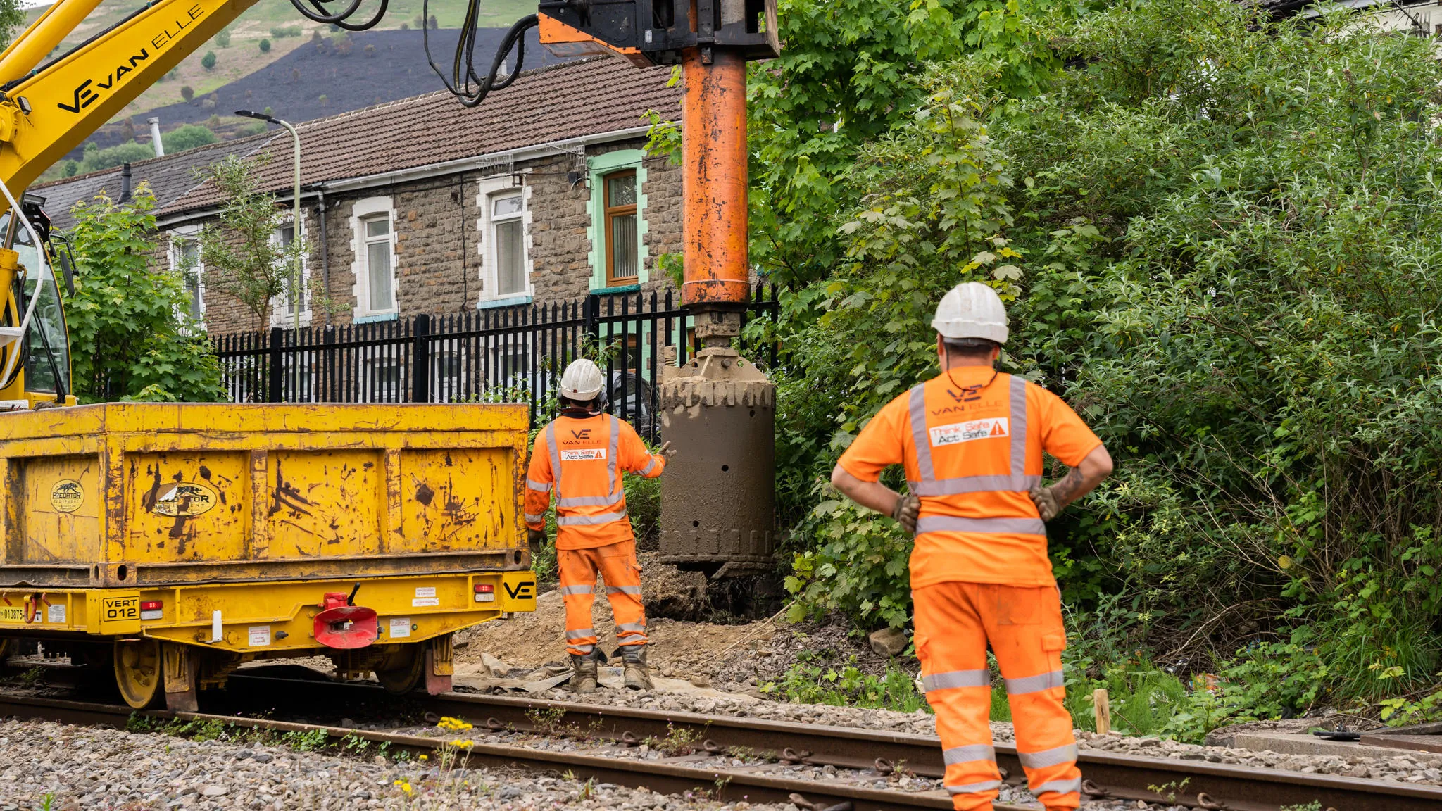
Transport for Wales is leading a major programme to modernise transport across the region, including the South Wales Metro and expanded active travel schemes. Delivering these projects requires careful management of buried utilities in a complex and historic environment. This case study highlight...

Aviva has been using OS data from the very beginning of their involvement with Geographical Information Systems (GIS) and geospatial data.
Their commercial property underwriters use OS datasets to assess risk and manage accumulation. Their dedicated GIS team use their desktop GI systems (E...

Following the tragic Grenfell Tower disaster, the Government led a programme of work delivered by Fire and Rescue Services across the country; to make high-rise residential buildings safer, and provide a better understanding of high-rise residential buildings.
You have viewed 9 of 38 case studies