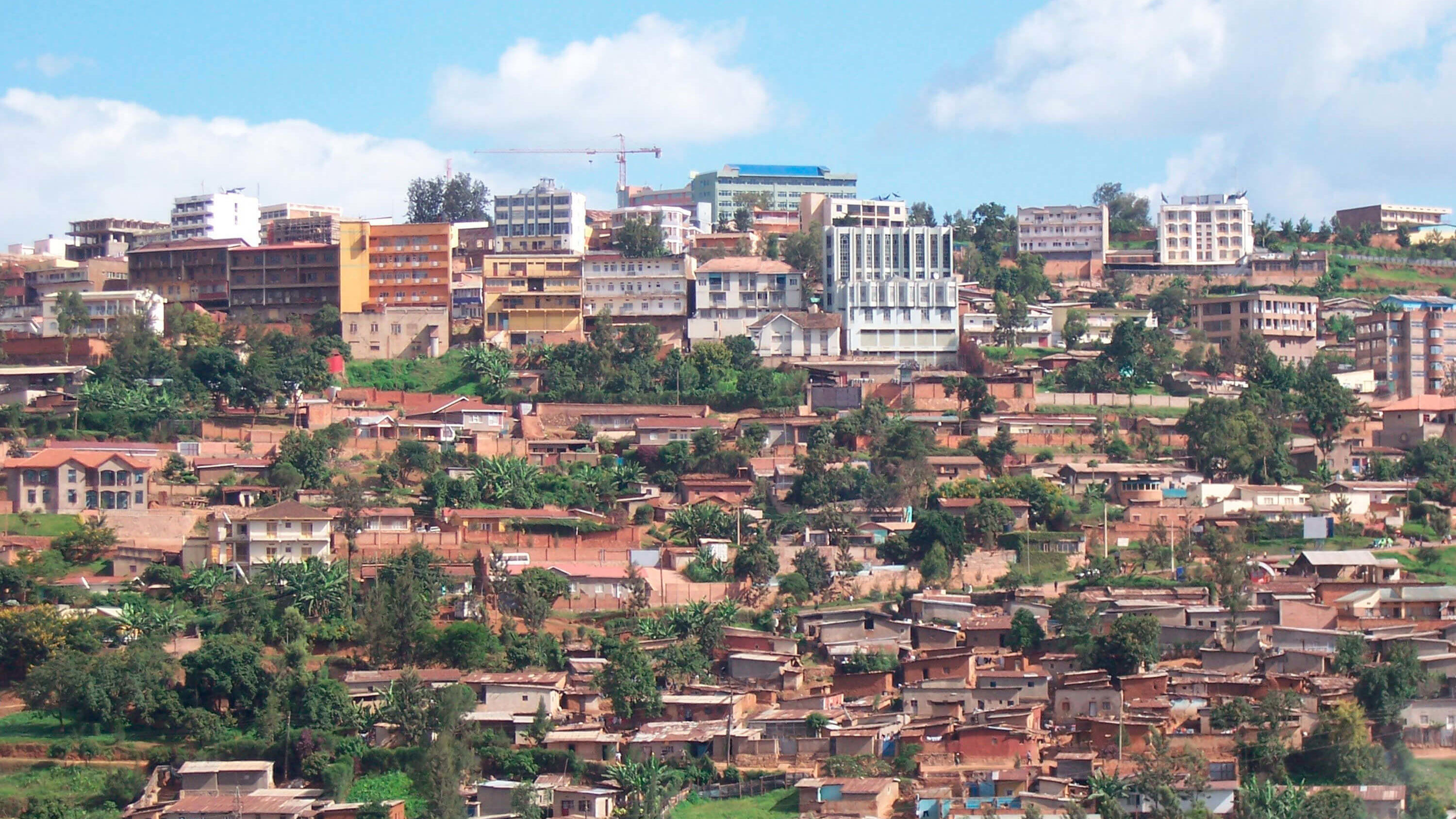
Rwanda Natural Resources Authority (RNRA) has a national-level responsibility to provide geospatial information including topographic, thematic and geological maps.
Rwanda conducted Land Tenure Regularisation Project (LTRP) and successfully registered all its 10.3 million land parcels for...