Overview
- Type of mark
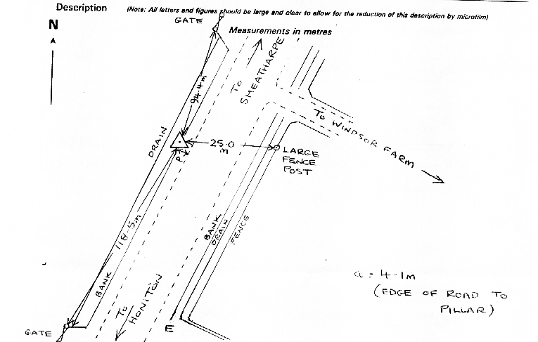
- Pillar
- Flush bracket
- S3744
- Grid reference
- ST154068
- Access to mark
- 2WD Vehicle
- Keys required
- No
- On Landranger sheet
- 192
Click to buy - On Explorer sheet
- 115
Click to buy - Permission required
- No
Coordinates of this station
ETRS89 Cartesian
- X
- 4028490.2686
- Y
- -225426.6316
- Z
- 4923586.2548
ETRS89 Geodetic
- Latitude
- N 50 ° 51' 16.275653"
- Longitude
- W 3 ° 12' 10.160338"
- Ellipsoid height
- 312.767
National Grid (Transformed by OSTN15/OSGM15)
- Eastings
- 315430.682
- Northings
- 106802.330
- Height
- 261.664
NB: If 'permission required' is Yes at top of this form, the land owner or agent's permission must be obtained before accessing the mark.