Overview
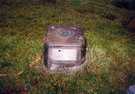
- Type of mark
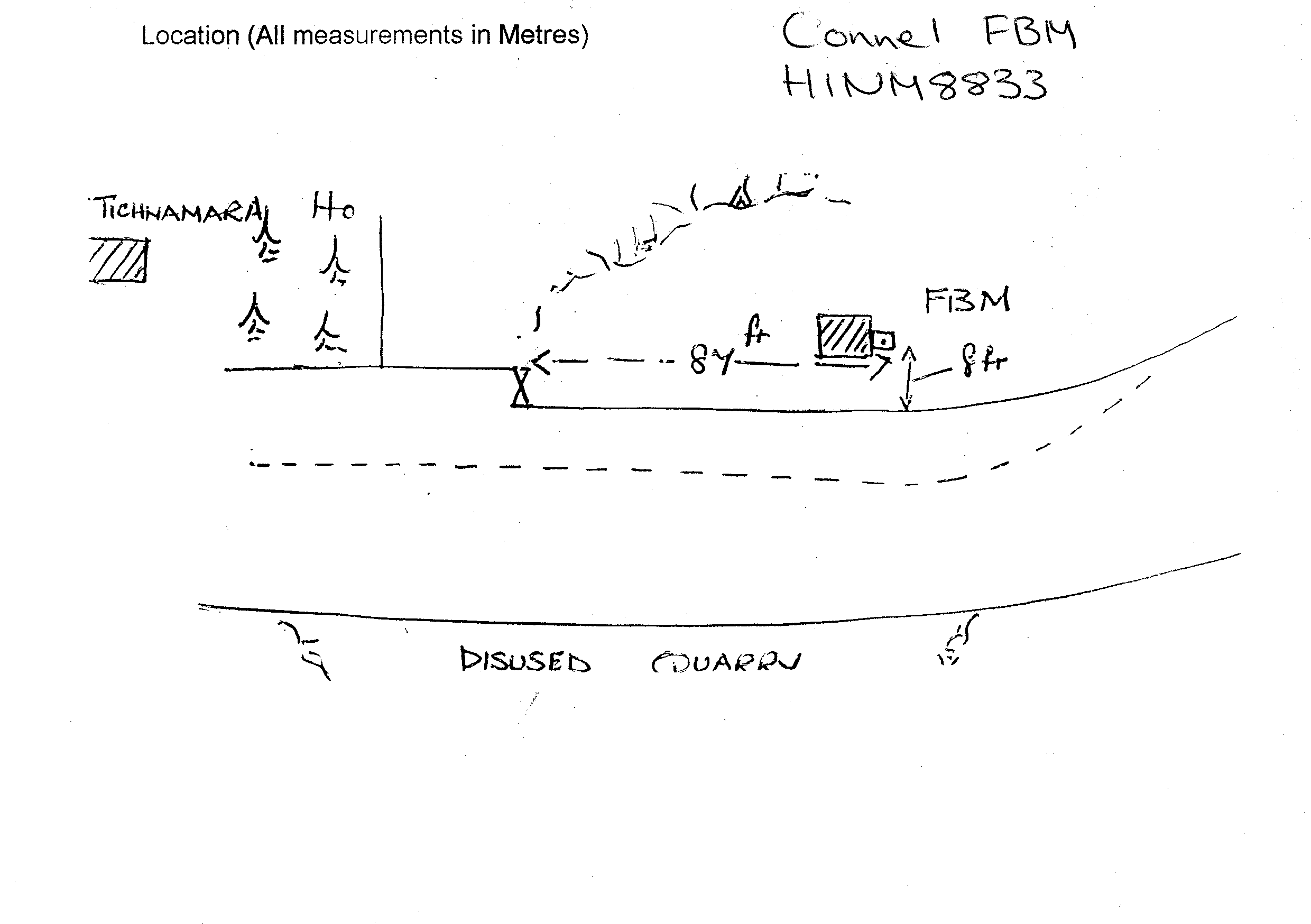
- FBM
- Flush bracket
- Not Available
- Grid reference
- NM888339
- Access to mark
- 2WD
- Keys required
- No
- On Landranger sheet
- 49
Click to buy - On Explorer sheet
- Not Available
- Permission required
- No
Coordinates of this station
ETRS89 Cartesian
- X
- 3517383.7691
- Y
- -334218.5821
- Z
- 5292354.6997
ETRS89 Geodetic
- Latitude
- N 56 ° 27' 0.12497"
- Longitude
- W 5 ° 25' 40.426038"
- Ellipsoid height
- 66.010
National Grid (Transformed by OSTN15/OSGM15)
- Eastings
- 188840.808
- Northings
- 733923.725
- Height
- 11.140
NB: If 'permission required' is Yes at top of this form, the land owner or agent's permission must be obtained before accessing the mark.