Ordnance Survey supports the release of a new digital map of underground pipes and cables for the UK
Ordnance Survey helped build and develop the digital platform and is looking forward to users trying it out in North East England, Wales and London
Press Office
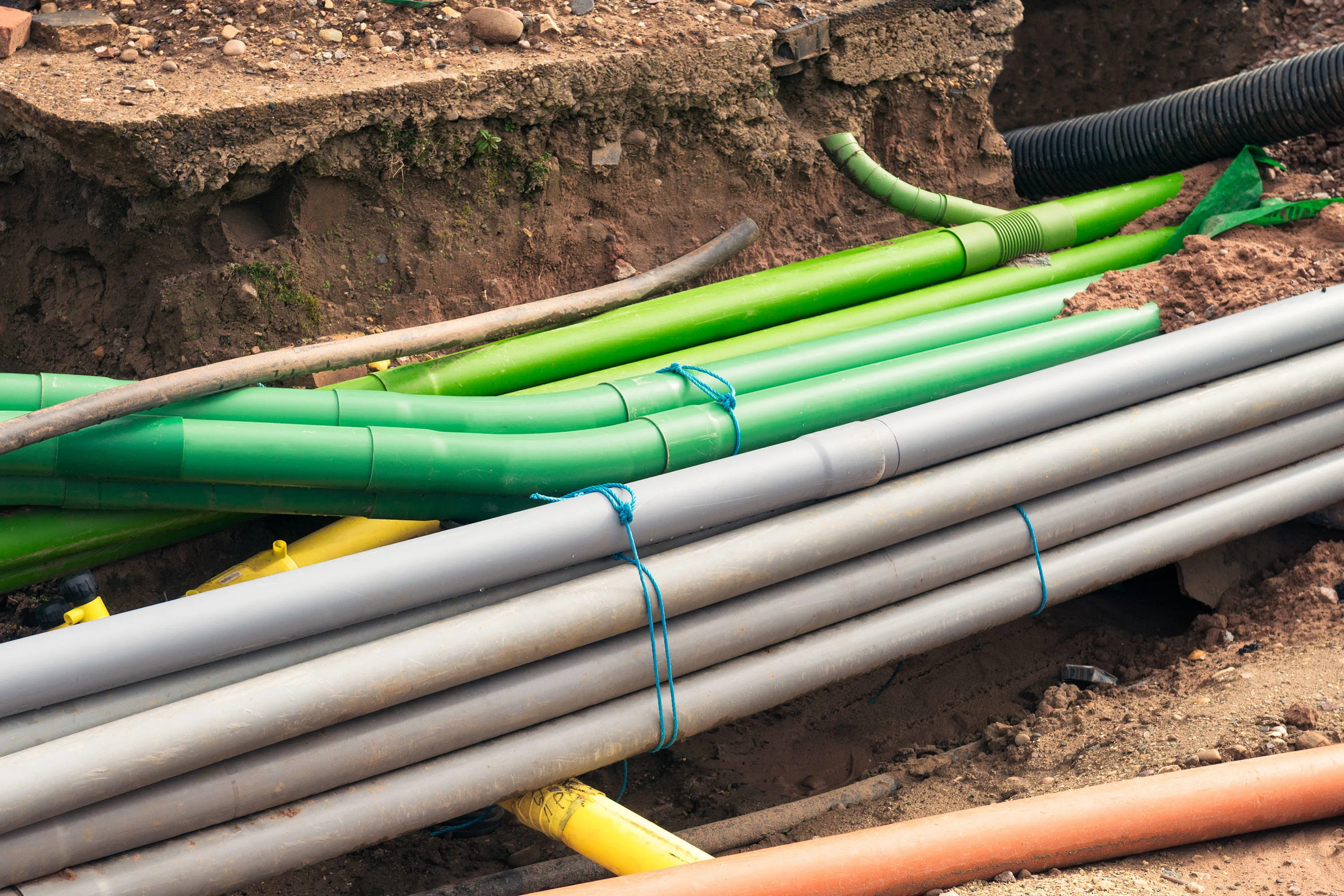
NUAR is a new digital map that will revolutionise the way we install, maintain, operate and repair the pipes and cables buried beneath our feet. The digital map shows underground pipes and cables for utilities that make up England, Northern Ireland and Wales, whether that is gas, electric, water, internet or phone connections. Mapping out the locations of underground assets will make construction and development more efficient, reduce disruption and improve workers’ safety.
The Government estimates that accidental strikes on the pipes and cables beneath our feet cost the UK economy £2.4 billion each year and put workers’ safety and lives at risk.
The first phase of NUAR, also known as the ‘minimum viable product’ (MVP), has been launched covering North East England, Wales and London, and future releases of the platform will cover the rest of England and Northern Ireland. The new mapping platform contains data from the public and private sector organisations who own pipes and cables in North East England, Wales and London. This includes all of the major energy and water providers, such as Northumbrian Water, Wales and West Utilities, Southern Electric Power Distribution and National Grid, as well as smaller providers of these services, telecommunications companies, transport organisations and local authorities.
OS’s software development team have worked alongside Atkins, 1Spatial, GeoPlace, the GLA and Government Digital Service on a series of technology sprints to develop the platform and get it up and running.
The key task has been building the platform’s functionality to enable over 650 different underground asset owners in the UK to be able to exchange their data accurately and securely.
To do this the NUAR programme developed a specific data model. This model is based on an emerging standard, the ‘Model for Underground Data Definition and Integration’ or MUDDI. OS was instrumental in developing this as part of the Open Geospatial Consortium.
The platform provides users with a location-enabled service, allowing them to select specific areas and visualise the pipes and cables underground.*
"It has been great to be part of the development team behind this important national project. We often talk about the importance of trusted, detailed and authoritative data. This project really demonstrates the importance of OS data providing users with an accurate and consistent view of the nation. It enables the clear and accurate visualisation of vital cables and pipes which will ultimately reduce strikes and costs. The rollout marks the moment users can try NUAR for themselves and discover how the platform can positively impact their work across the UK’s infrastructure. It is a chance to get early engagement in these initial areas and for those regions to see the benefits NUAR will bring. Once the MVP has gone live in those three areas, all that interaction will enhance the platform and cement the functionality for the data and operational system for future releases."
The MVP is available to eligible organisations in the three areas. It is intended to complement current business practices initially and will allow users to both plan for future adoption and provide valuable feedback to enhance the service further.
"This first release of NUAR is a major milestone in a programme that will benefit everyone. By using the power of location data to plan and deliver street-works more effectively, it will improve the efficiency with which we supply essential services and it will minimise the disruption experienced by other road users. Many different asset types are buried beneath our feet, owned by many different organisations, large and small. We are delighted by the number of asset owners that have recognized the value of working with us, to make the data that they hold more accessible."
Once fully operational across England, Wales and Northern Ireland, NUAR will help improve efficiencies in construction and development, reduce disruption to the public and businesses (from extended road closures and congestion), improve workers’ safety and is envisaged to deliver at least £350 million economic growth per year.
OS has supported the utilities and telco sector with accurate geospatial data and expertise for many years. To learn more about OS’s work in this industry visit the Control Today Shape Tomorrow webpage.
*The NUAR platform uses OS MasterMap Topography Layer as a reference map to visualise pipes and cables underground, as well as OS AddressBase.
Sharing the latest news about OS. We can license you to use OS maps in print, online and film format. For more information and resources for journalists, bloggers and media professionals, email pressoffice@os.uk or call 023 8005 5565.
Products and solutions featured in this news article
OS MasterMap Topography Layer
OS MasterMap Topography layer provides a map dataset of Great Britain's landscape – from roads to fields, to buildings and trees, fences, paths and more.
Find more news
- Announcements
- Built environment
- Connectivity
- Infrastructure
- OS
- Businesses
- Partners
- PSGA members
- Utilities
- Great Britain
- United Kingdom