News
The latest news and press releases from Ordnance Survey
Filters (1)
Page 1
Openreach joining the National Underground Asset Register ‘a giant step forward’
NUAR has over three million kilometres of buried infrastructure mapped on the platform, now that Openreach has joined.
- News
Ordnance Survey supports the release of a new digital map of underground pipes and cables for the UK
Ordnance Survey supports the release of a new digital map of underground pipes and cables for the UK.
- News
A MUDDI path towards a clearer underground
OS expertise has created a data store that is influencing major projects in UK - and could be replicated around the world.
- News
OS supports Atkins to build underground map of UK's pipes and cables
Ordnance Survey is working with leading engineering and project-management consultancy Atkins to build a National Underground Asset Register (NUAR) for the UK.
- News
Making the city of Dubai work for the citizen with location data
OS and Dubai sign second year of contract for new Geospatial Services Centre.
- News
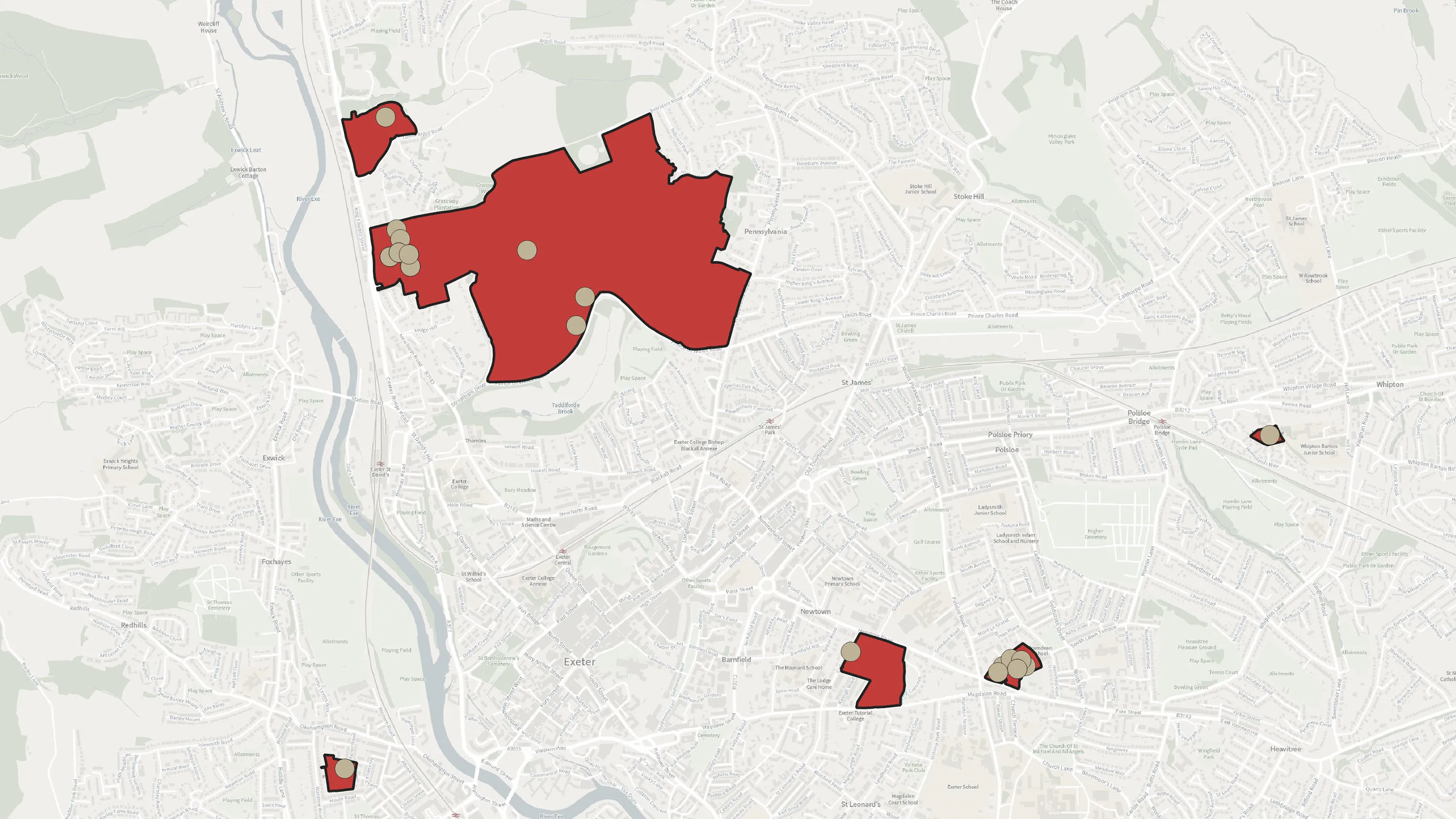
How to assess education facilities using OS MasterMap Sites Layer
In this month’s article we are looking at integrating OS MasterMap Sites Layer into AddressBase, including questions and answers.
- News
Analysing Neighbourhoods using AddressBase Core
OS Geospatial Consultants give insight to a technical challenge they've seen.
- News
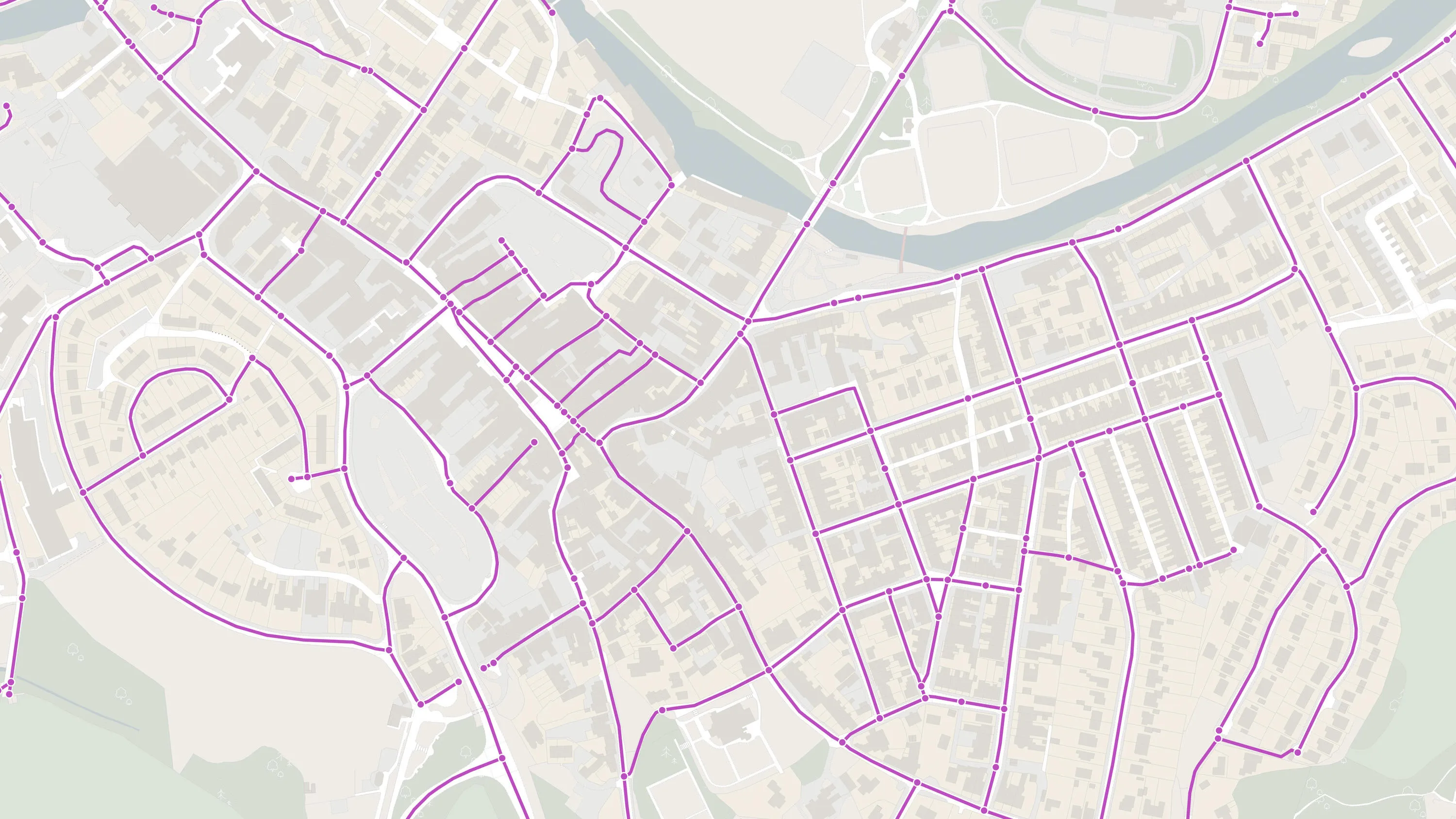
Using Detailed Path Network in an Emergency Response
In this month’s article, we will be continuing with the theme of PSGA available products with a focus on Detailed Path Network Layer.
- News
Ordnance Survey to create the Ordnance Survey of Dubai
Great Britain’s national mapping agency begin work with the Dubai Municipality to create a Geospatial Services Centre.
- News