Blog
Read location data and geography related stories and commentary
Filters (1)
Page 1
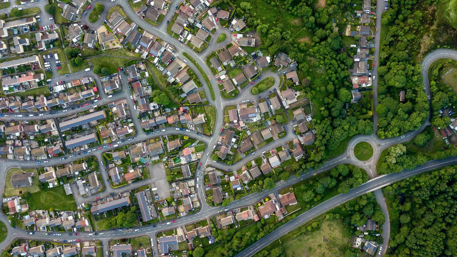
More efficient land management with OS NGD data
Torfaen County Borough Council is using OS NGD data to maintain the areas of land it covers.
- Blog
The next phase in NUAR’s development is here
NUAR has entered the latest important phase, moving into 'public beta' on the journey to being operational by end of 2025 and it will include Openreach data.
- Blog
Where the most solar panels in Britain are located may surprise you
Where the most solar panels in Britain are may surprise you.
- Blog
Analysing pavement widths using OS Select+Build
Examining the methodology behind the creation of pavement widths data.
- Blog
The latest PropTech start-up off the Geovation conveyor belt
How authoritative location data and Geovation's Accelerator Programme helped PropTech start-up HomeFinder thrive.
- Blog
QuietPlacesUK: modelling GB’s noise pollution using OS addressing and mapping APIs
QuietPlacesUK is a start-up that provides automated, easy to understand environmental noise maps for property searching and planning.
- Blog
Why geospatial is driving digital transformation
As one of the basic building blocks for digital transformation, geospatial information is vital for linking unconnected datasets.
- Blog
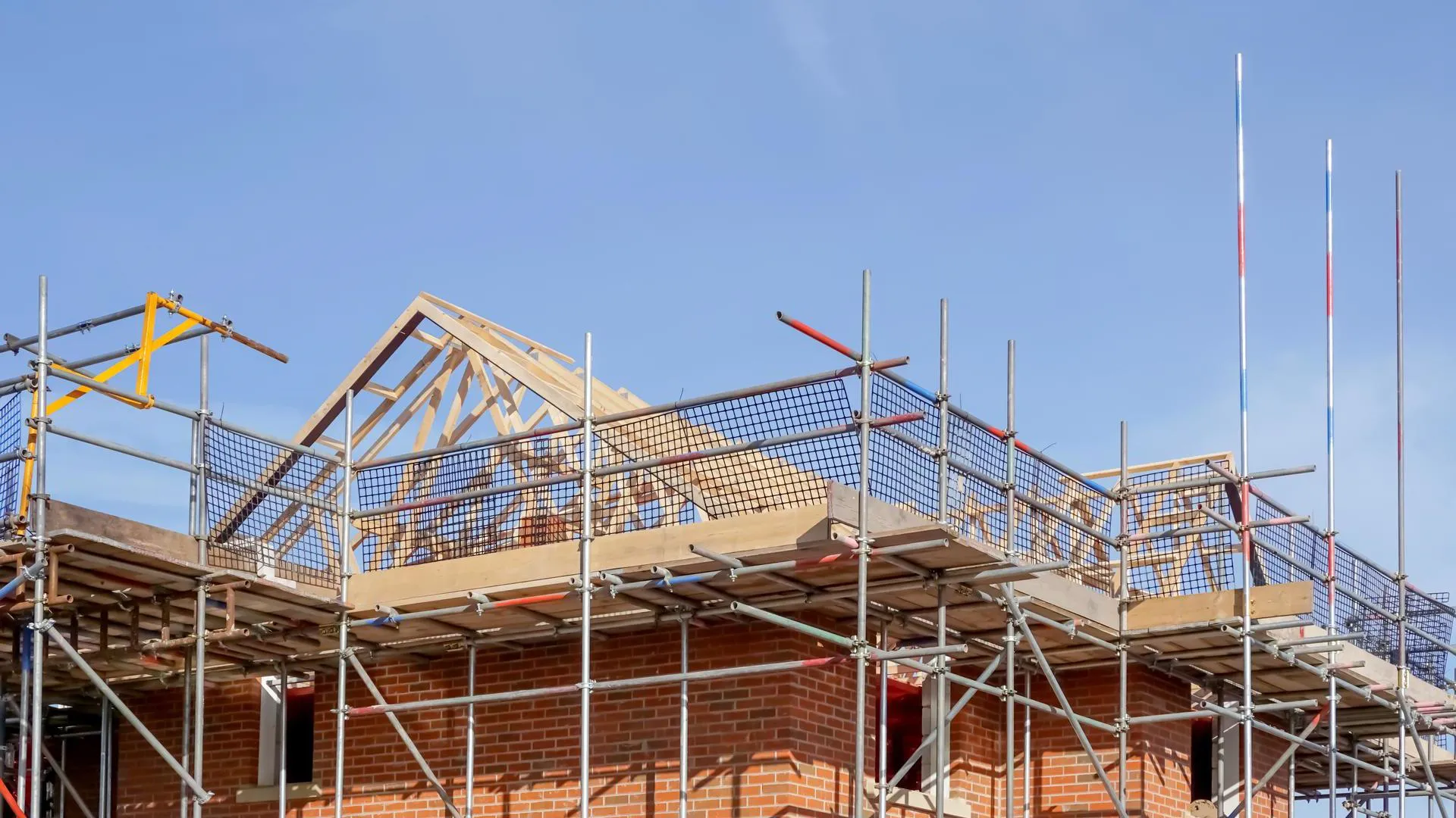
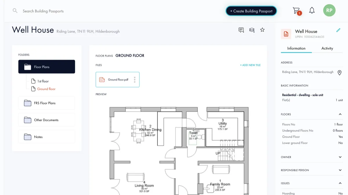
Building Passport – the story so far
As a cohort member of the Geovation Programme, founder and CEO Rupert Parker explains how he's used OS data to support his PropTech start-up.
- Blog
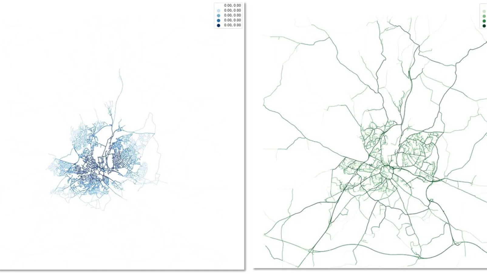
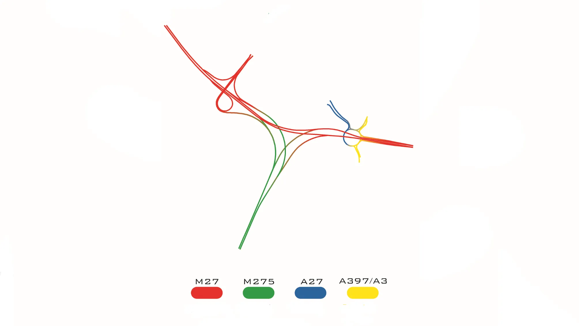
Britain’s most complex motorway junctions
Lucie Woellenstein, Graduate Data Scientist here at OS, explores Britain’s most complex motorway junctions through data visualisation.
- Blog