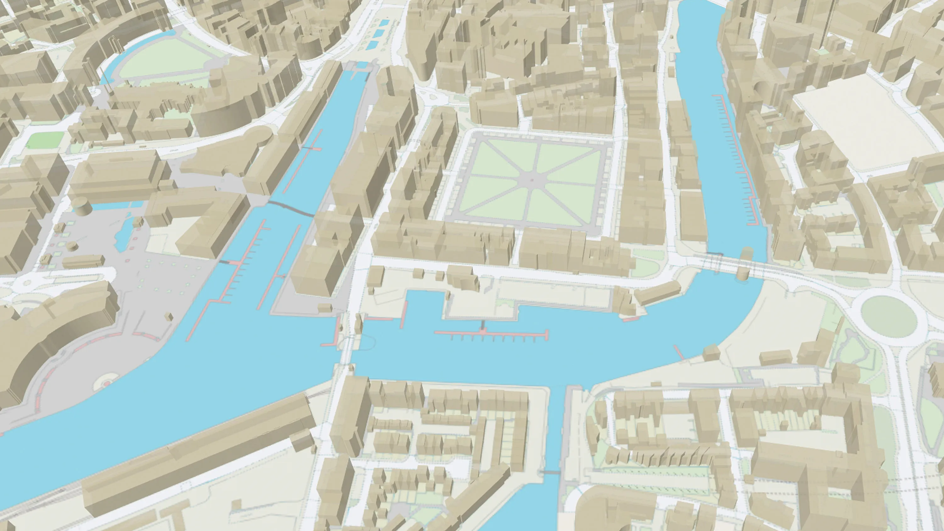
OS MasterMap Topography Layer
Try this product with free sample data
Download a small area of OS MasterMap Topography Layer.
What OS MasterMap Topography Layer provides you with
Mapping from the ground up
In a business of any kind, OS MasterMap Topography Layer gives you the confidence to make location-based decisions about assets, services, environmental risks, customers and operations.
Accurate referencing
Geo-tag your assets, with the topographic identifier (TOID) at the heart of OS MasterMap products. This makes it ideal for monitoring assets such as pipelines, pylons, bridges and warehouses.
Enhanced features
OS MasterMap Topography Layer includes access to enhanced features - Building Height Attribute to analyse the built environment and Sites Layer showing the main points of access to key sites.
Use cases
- Frequently used to support planning decisions, the impact of development and to inform policy.
- Helps businesses understand terrain and building structures for smart meter deployment and suitable locations for solar panels.
- Supported by over 500 million objects, it enables land use classification, habitat mapping and geographical change over time.
Related products
OS MasterMap Building Height Attribute
OS MasterMap Topography Layer is a dataset showing building heights for Great Britain.
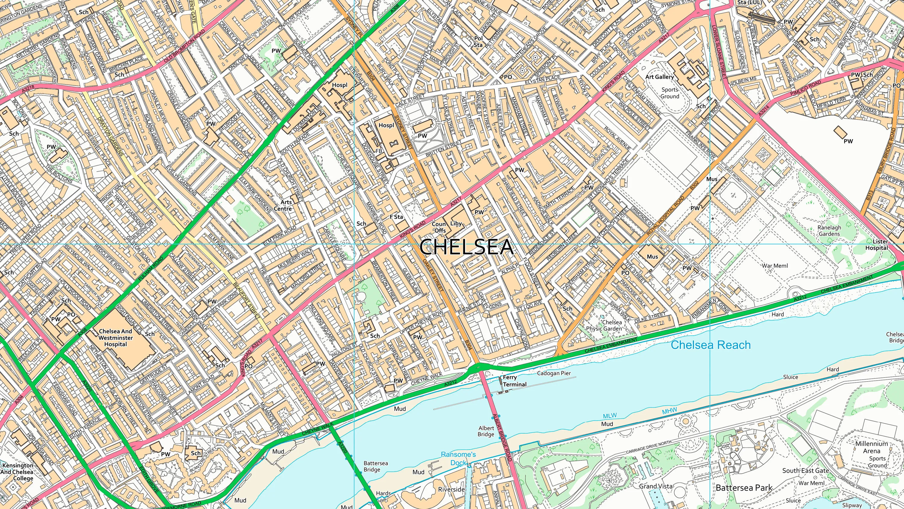
OS VectorMap Local
OS VectorMap Local is a highly-detailed, customisable, street-level map, showing fences, building outlines, paths and street names.
OS Building Features
Access data on buildings and building features, including building heights, lines, and access points, across Great Britain.