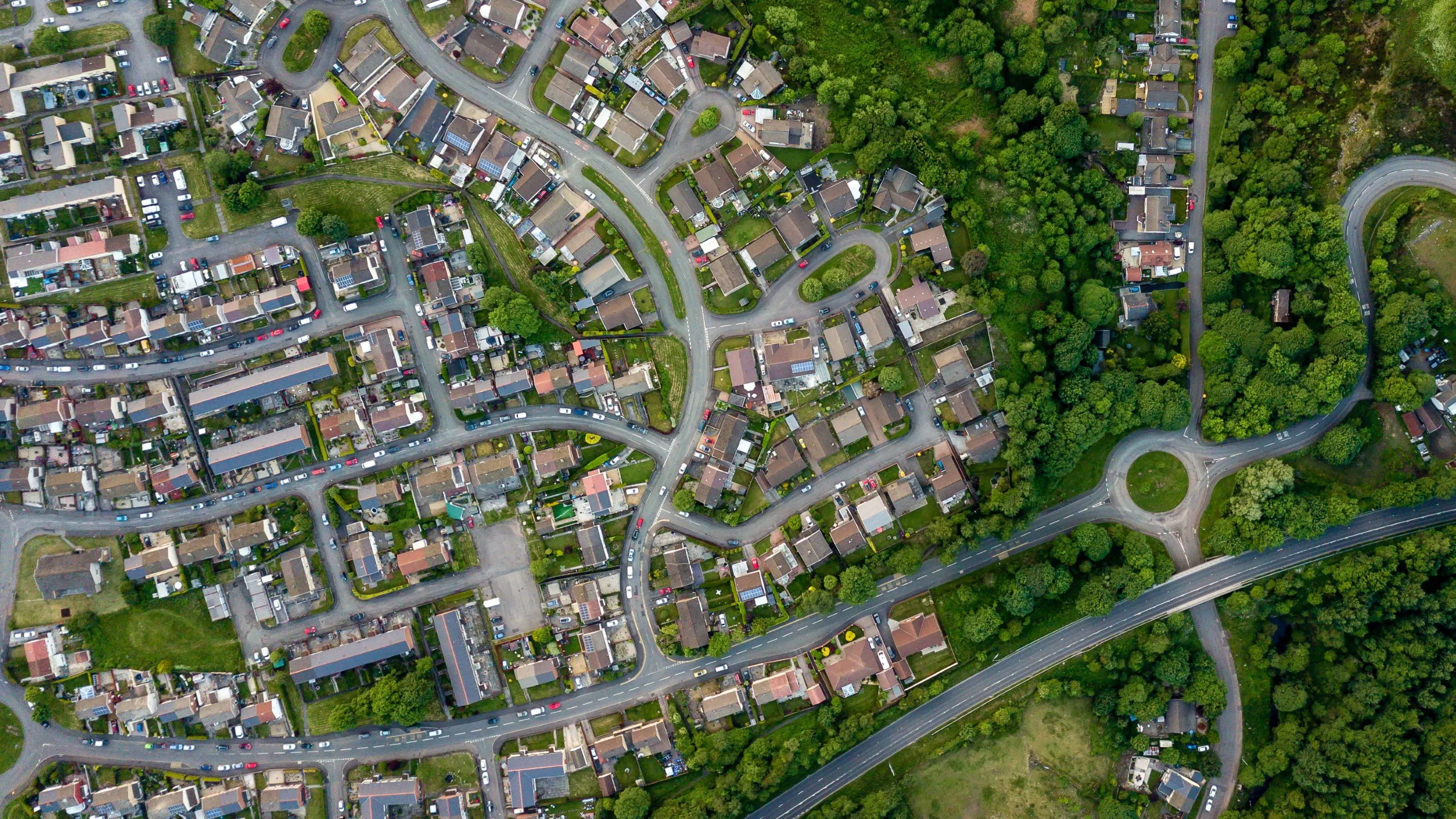
Keep Wales Tidy is a charity that has been developing a brand-new litter data methodology, taking pride in improving public spaces across Wales and protecting the environment now and for the future.
Case studies
Discover how Ordnance Survey data is driving more efficient decisions in organisations like yours
Found 28 results
Page 1

Transforming Dubai’s built environment: the BRPA’s journey to data-driven excellence
Ordnance Survey was approached by Dubai Municipality to produce and test a data collection and management optimisation blueprint, as part of Dubai's larger ambition to become the World’s Happiest City, the “best place for living in the world.”

The Building Regulation & Permits Agency’s role in Dubai’s Happier City vision
Dubai’s ambition is to become the World’s Happiest City, the “best place for living in the world,” with key objectives and outcomes necessary to realise its goal.
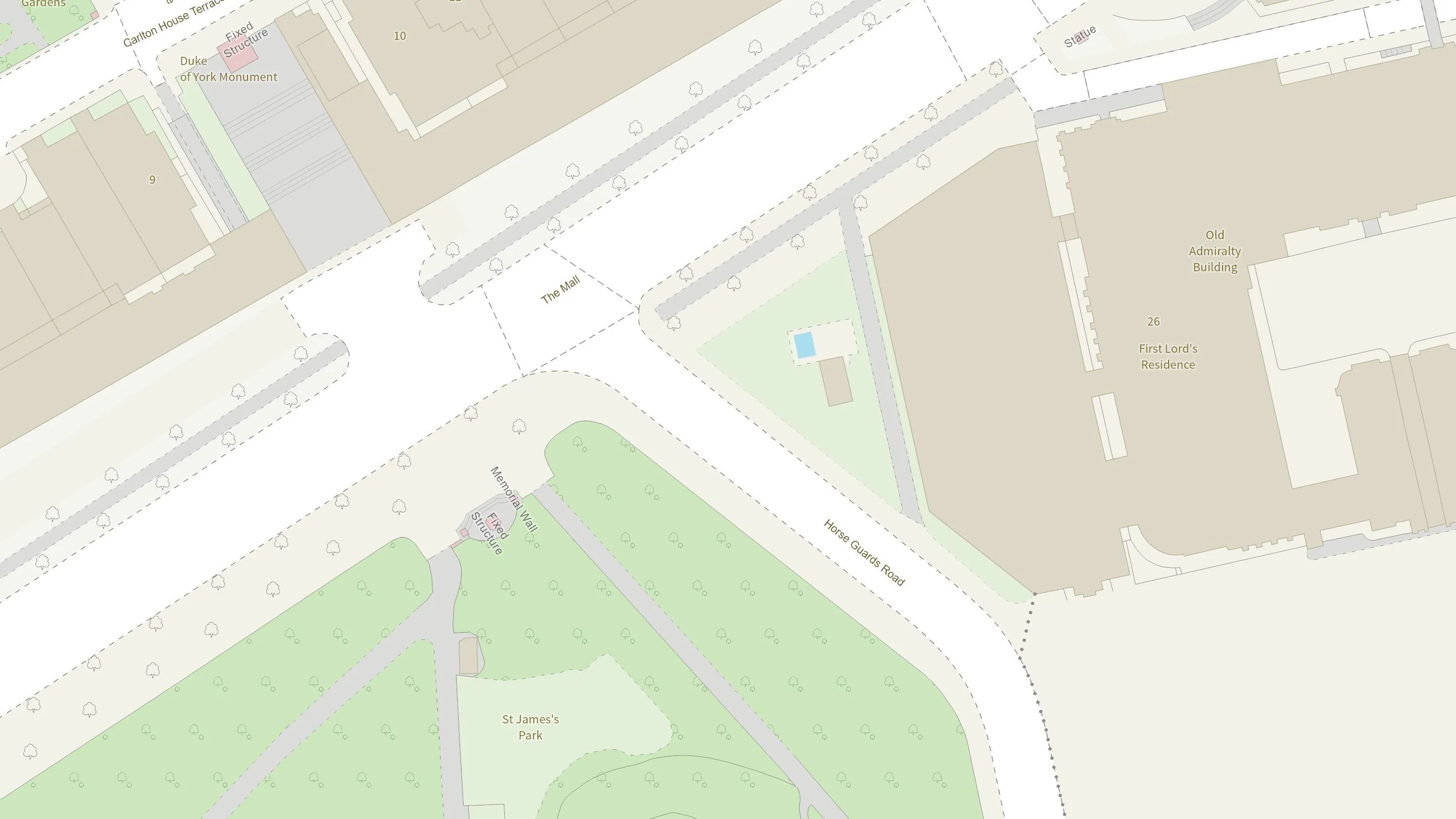
How the British Army use mapping APIs for battlefield training
The British Army is using Ordnance Survey mapping data to create training scenarios, and provide soldiers with accurate and realistic experiences.

Identifying the wider determinants of health
Researchers at the Clinical Effectiveness Group, at Queen Mary University of London, are linking de-identified (or pseudonymised) data on 'people' and 'places,' to inform powerful health research and better location-based care.

Transport for West Midlands - building a world-class transport network
Transport for West Midlands want to have a world-class transport network. To make this happen, they’re working on 20 key transport projects between now and 2026, with geospatial data underpinning many of them.
Transport for West Midlands have also been able to access OS services and...

Plotting the possibilities, with Plot Map
PropertyData empowers property investors, developers, and agents to make data-driven decisions with ease, at low cost. Plot Map, PropertyData’s high-resolution map of target developments (including everything from buildings and boundaries, to planning applications and land values) gives cus...

Improved efficiency with new land information system in Anguilla
The Department of Lands and Surveys (DLS) operates a registered land administration system for the Caribbean island of Anguilla.
The DLS places a huge emphasis on both accuracy and efficiency, making sure its stakeholders have complete confidence and satisfaction – a process with loc...

Up-to-date maps in minutes
The National Library of Scotland (NLS) maintains one of the largest map collections in the world, offering public access to both their physical archives, and a digital view of historic and modern landscapes.
You have viewed 9 of 28 case studies