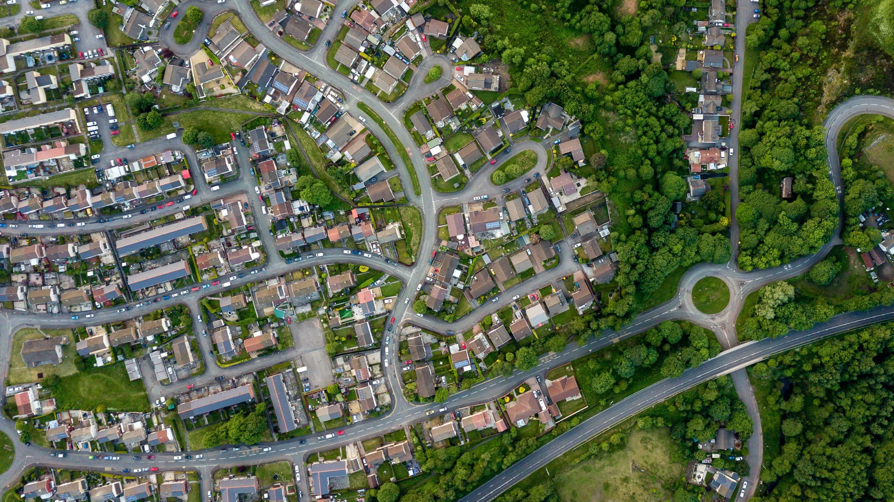
Keep Wales Tidy is a charity that has been developing a brand-new litter data methodology, taking pride in improving public spaces across Wales and protecting the environment now and for the future.
Case studies
Discover how Ordnance Survey data is driving more efficient decisions in organisations like yours
Filters (1)
Showing 5 results
Page 1
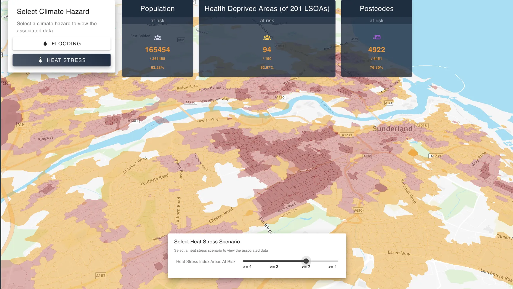
SimAnalytica, an OS Channel Partner, provides place-based decision intelligence software applications, to help public and private sector organisations accelerate the transition to net zero and build climate resilience. High-quality OS location data is a core component in its foundational technolo...
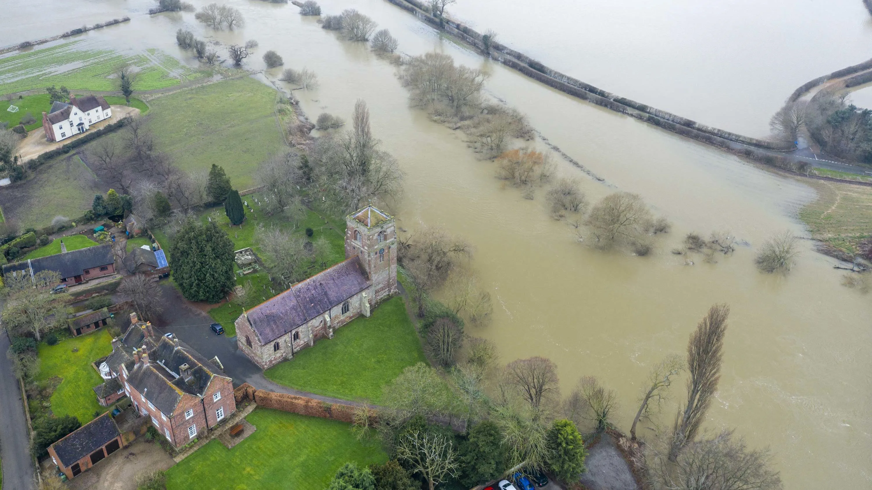
The Environment Agency (EA) manages and mitigates flood risk throughout England, helping to reduce impacts of flooding.
The EA worked with Ordnance Survey (OS) to update and improve their existing property dataset – critical to the EA’s ability to assess flood risk and respond...
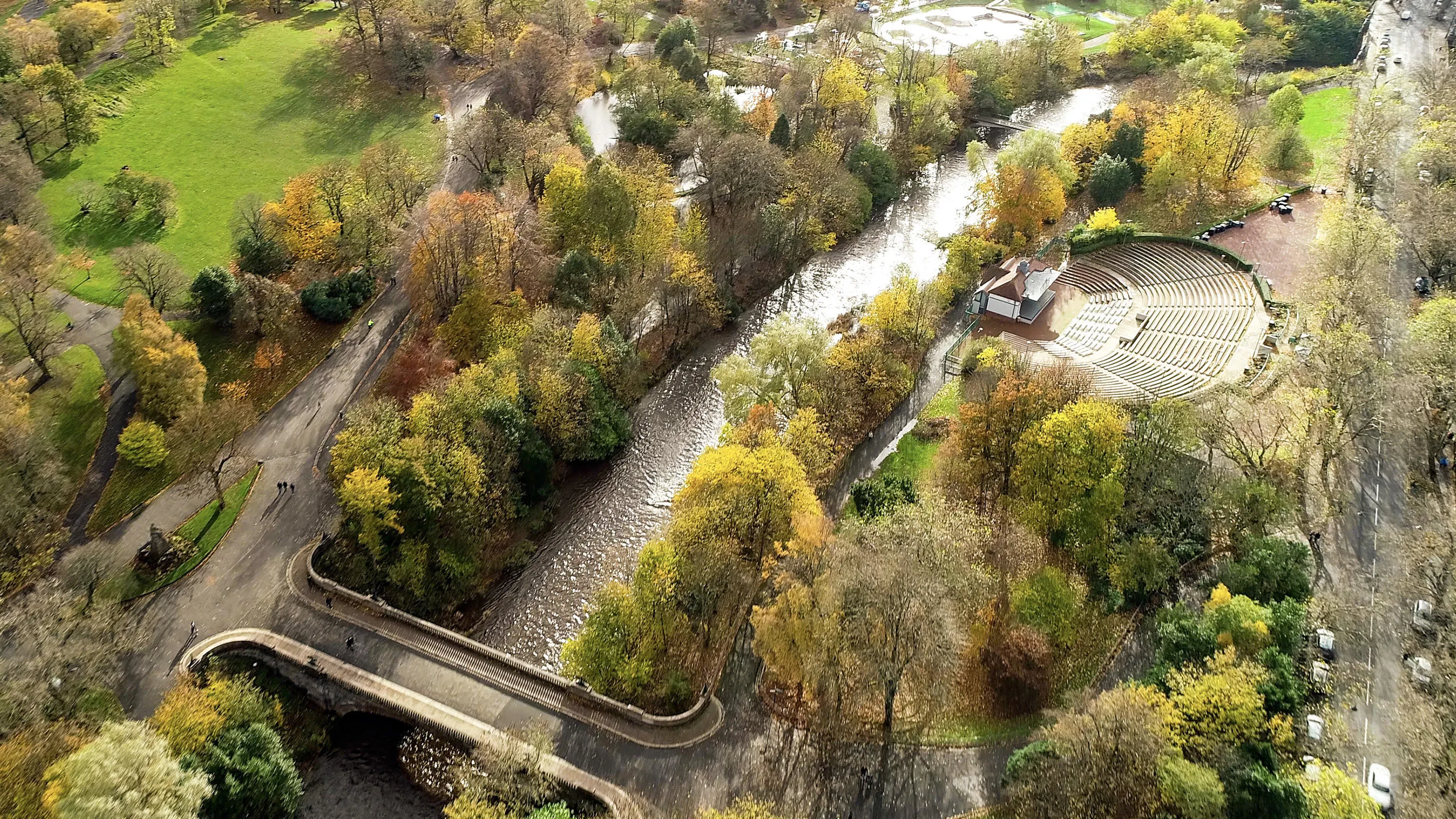
Greenspace is the urban ecosystem – protecting our biodiversity, our physical and our mental health.
Greenspaces are also, according to Scotland’s parks and greenspace charity, greenspace scotland, a potential source of local green energy.
ParkPower is a Scotland-wide pr...

York City Council’s flood team can now easily record, share and visualise gully information on any hand-held device, thanks to an ESRI UK app and detailed Ordnance Survey (OS) mapping. This case study explains how it was done.
You have viewed 5 of 5 case studies