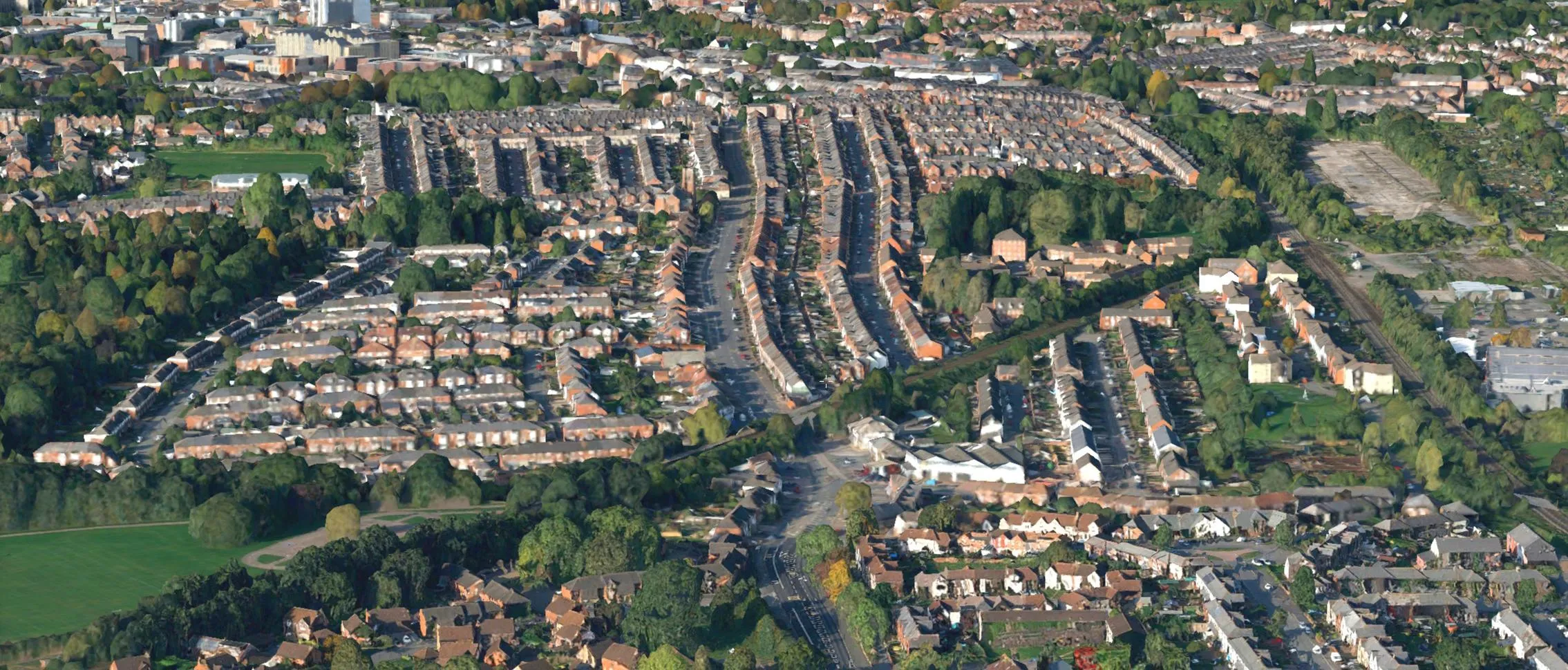
The OS 3D Mesh beta data is a photorealistic and fully three-dimensional model of the landscape, modelling both the terrain and the features above it, such as buildings and vegetation. The mesh is generated from Ordnance Survey's aerial imagery, which was originally captured to update OS's flagship data products, including OS MasterMap and the OS National Geographic Database (OS NGD).
Following a successful product discovery phase, in which we sought feedback from potential customers, we have now moved on to a trial stage, where we can offer you our beta product.
You can still view and download our sample data but you can now also order OS 3D Mesh data for your own area. We are only able to fulfil small orders at present, but if you are interested in obtaining 3D Mesh data of your area of interest, please get in touch with us using the form below.