Historic England – staying up-to-date with history
Historic England's new aerial photo explorer made possible thanks to the OS Data Hub. David Thames, Corporate GIS Manager at Historic England, explains why.
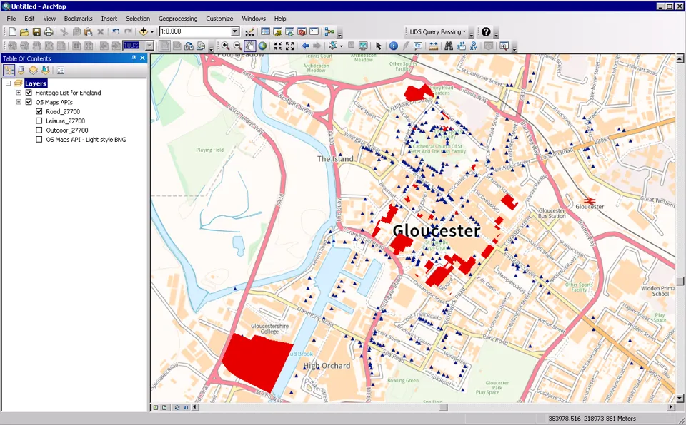
People interact with the maps every day.
The data automatically stays up-to-date, and it’s helpful to have someone to go to for advice.
Our modest-sized-team were spending huge chunks of time downloading and processing location data, whereas it’s a very smooth process using the OS data hub.
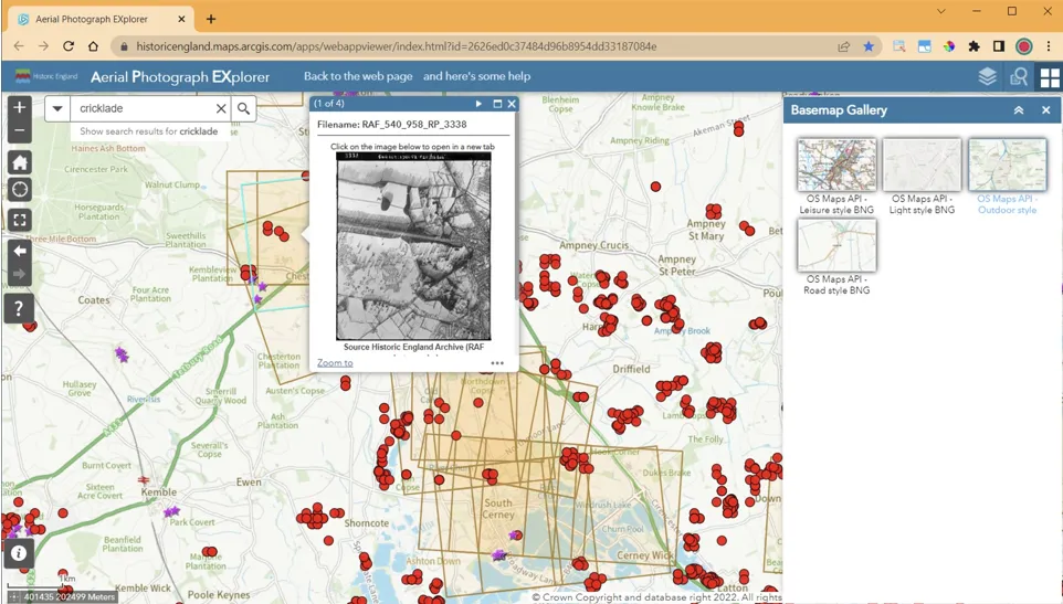
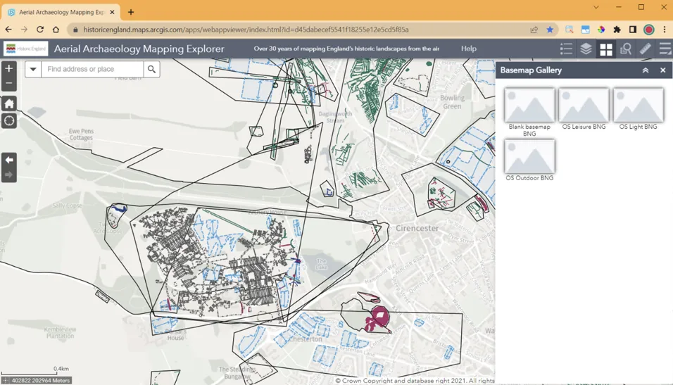
The contrast with the OS Maps API backdrop makes our data ‘pop’ really nicely – the OS mapping has made the website much more engaging.
Ordnance Survey is vital to our service - it’s an organisation other public sector teams should look at.
Find out more about the Public Sector Geospatial Agreement (PSGA) and the OS Data Hub.
See history from the air with the Historic England aerial photo explorer.
Explore the OS Data Hub
With over 20,000 updates to our databases every day, you have access to a comprehensive and up-to-date set of authoritative data through the OS Data Hub

Our highly accurate geospatial data and printed maps help individuals, governments and companies to understand the world, both in Britain and overseas.
Find more blog articles
- Announcements
- History
- Innovation
- OS
- Products and services
- General public
- Land and property
- Great Britain
- United Kingdom