Blog
Read location data and geography related stories and commentary
Filters (1)
Page 1
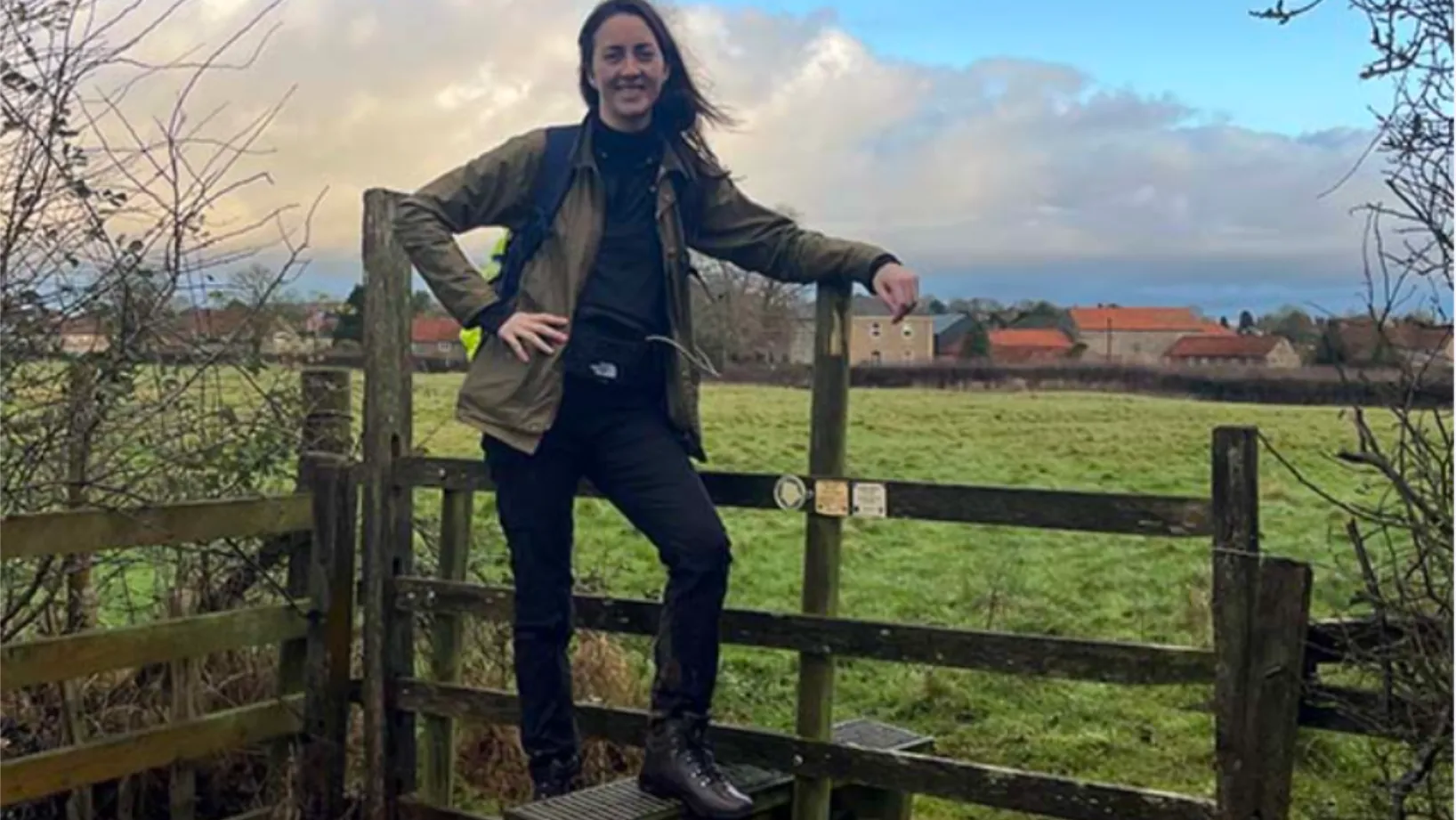
Uncovering the hidden history of England’s forgotten Queen
Author Alice Loxton used OS Maps app to walk 200-miles for her new book Eleanor – which unearths the life of powerful medieval queen Eleanor of Castile.
- Blog
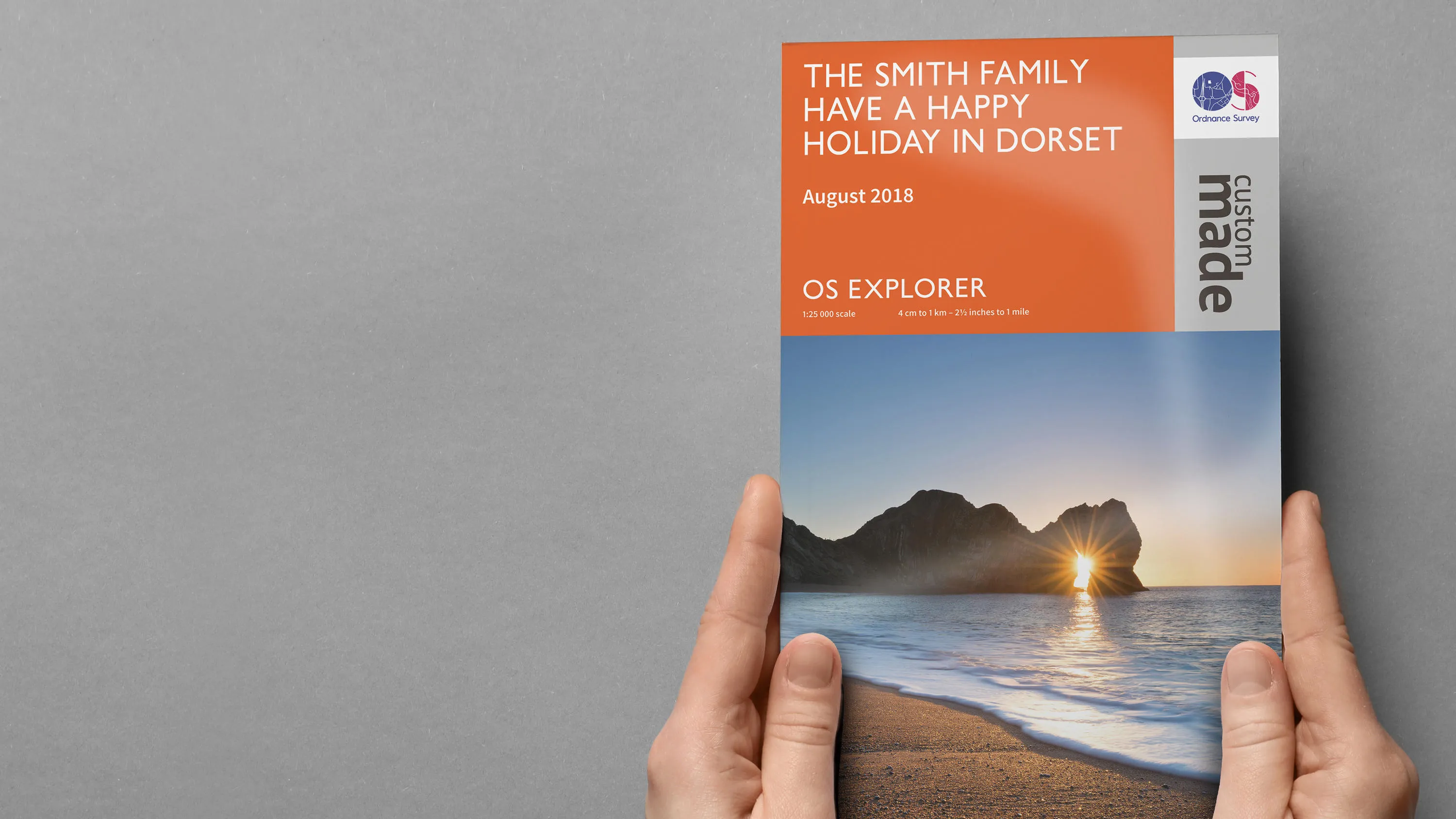
How OS Custom Made maps have evolved
More and more map lovers have turned to personalised maps for pocket-sized adventures or to hang on their walls.
- Blog
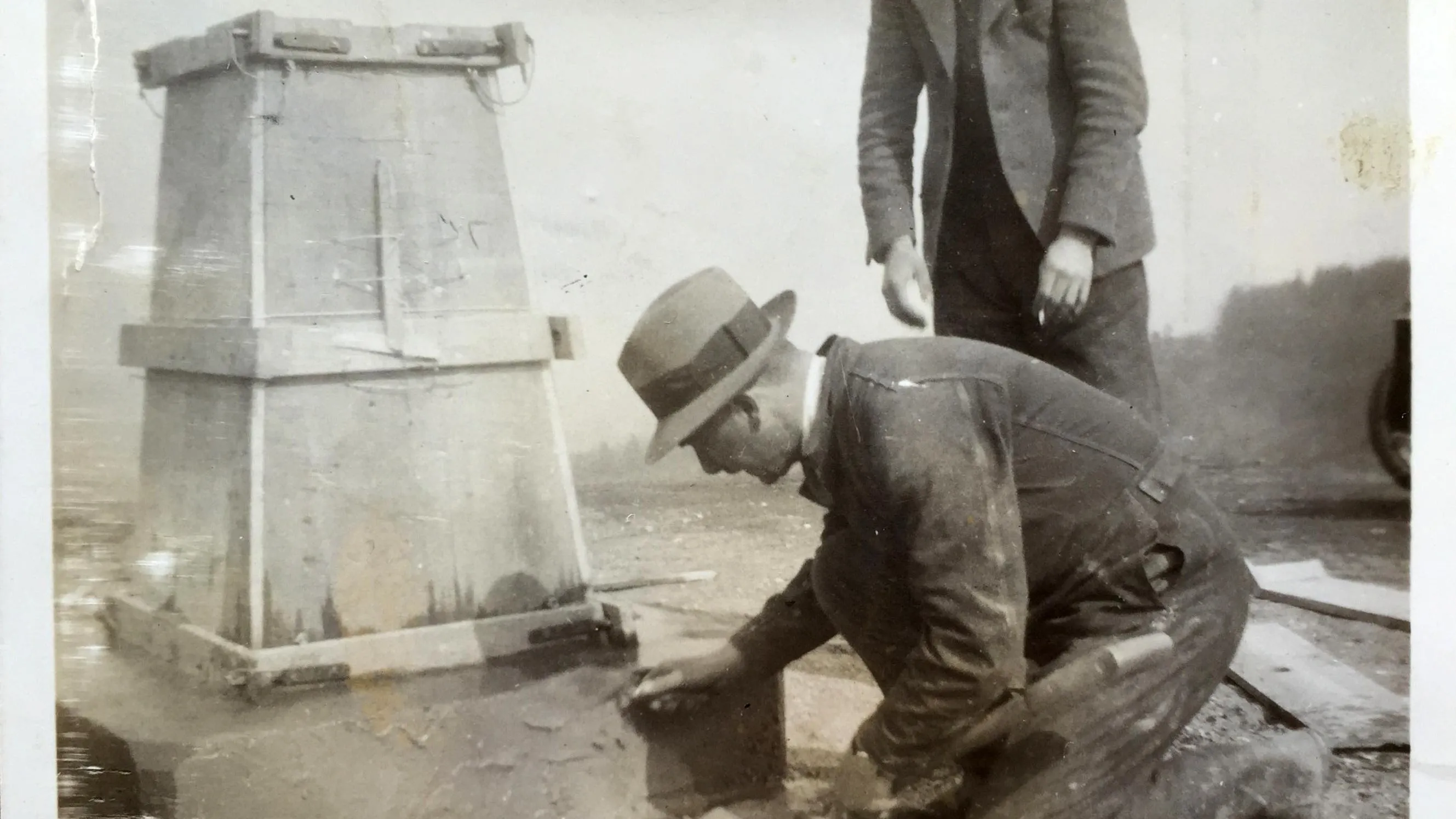
100 years of Ordnance Datum Newlyn
How a small hut in Cornwall established Ordnance Datum Newlyn (ODN) 100 years ago.
- Blog
What is Cartography?
Our specialist insight into cartography; what it is, key features and elements, and how you can get started in this centuries-old practice.
- Blog
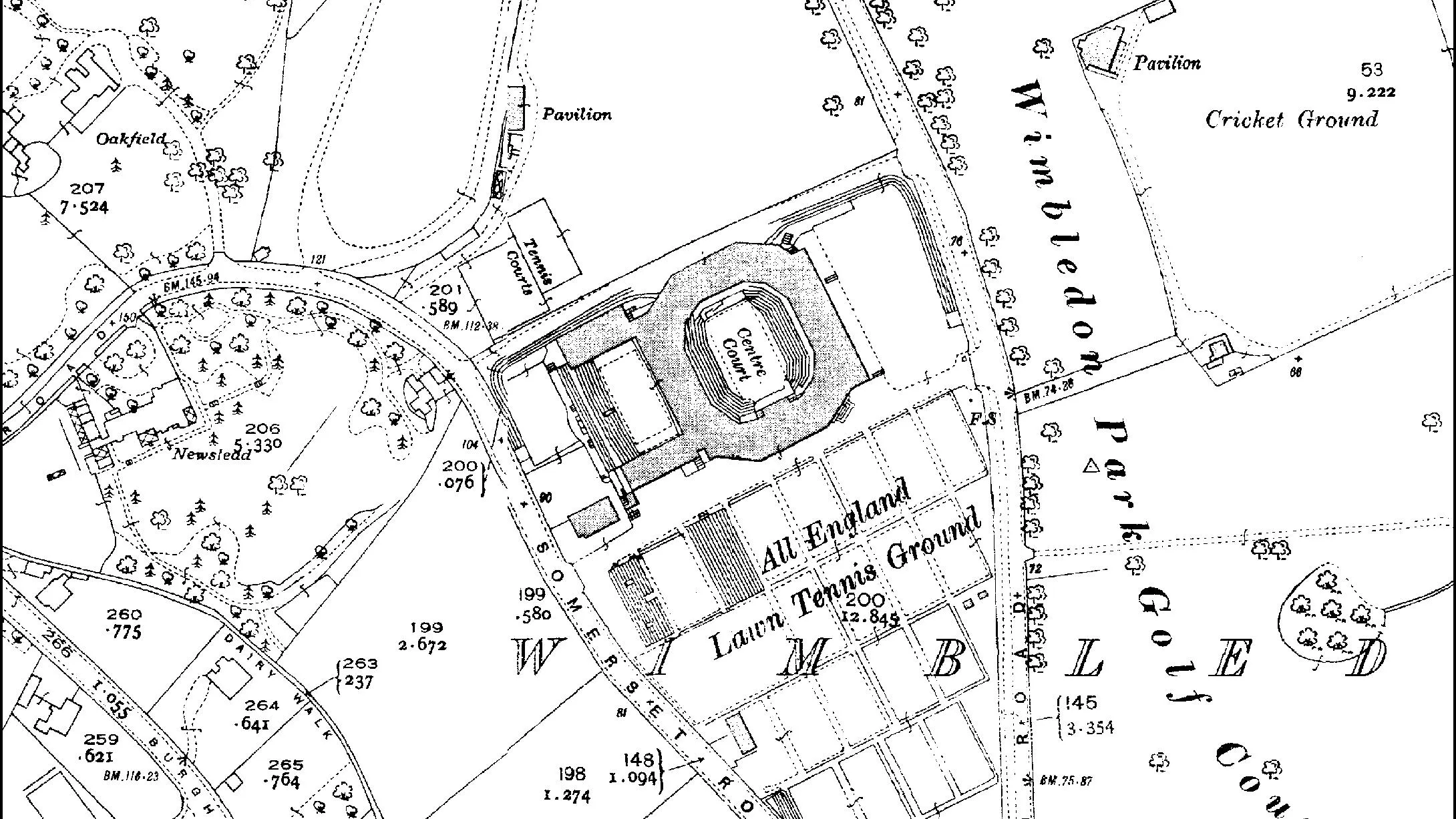
A history of Wimbledon in maps
As much as we love tennis, whenever Wimbledon returns to the TV, our minds inevitably turn to maps. We’ve been putting Wimbledon on the map for almost 100 years now.
- Blog
Historic England – staying up-to-date with history
Historic England's new aerial photo explorer made possible thanks to the OS Data Hub.
- Blog
How connecting land with sea data helped map Pembrokeshire’s sunken shipwrecks
Combining OS and UK Hydrographic Office data led to the creation of a fascinating map of Pembrokeshire and its famous shipwrecks.
- Blog
Mapping and innovating for 230 years
To mark 230 years of OS, we've created an ESRI ArcGIS StoryMap that looks back at our history and our mapping through the centuries.
- Blog
Trig pillar trivia
2021 marks 85 years since the trig pillar was first used to map Great Britain, so we're celebrating the anniversary with some trig trivia!
- Blog