Blog
Read location data and geography related stories and commentary
Filters (1)
Page 1
Evolving Great Britain’s trusted basemap
Ordnance Survey is developing OS BaseMap Pro: the next‑generation detailed basemap, and the future successor to OS MasterMap Topography Layer.
- Blog
How Ordnance Survey will be supporting the new Land Use Framework for England
Putting geospatial data in the hands of those who need it to make smarter, more informed decisions about land use.
- Blog
Ordnance Survey puts a new development name on the map – in memory of a fallen soldier
Adrian Sheldon View is now on the map of Kirkby, in Ashfield, Nottinghamshire, with the help of Adrian's mother.
- Blog
NUAR Notification of Works functionality now live
The latest developments of a Notification of Works capability for the National Underground Asset Register.
- Blog
The next phase in NUAR’s development is here
NUAR has entered the latest important phase, moving into 'public beta' on the journey to being operational by end of 2025 and it will include Openreach data.
- Blog
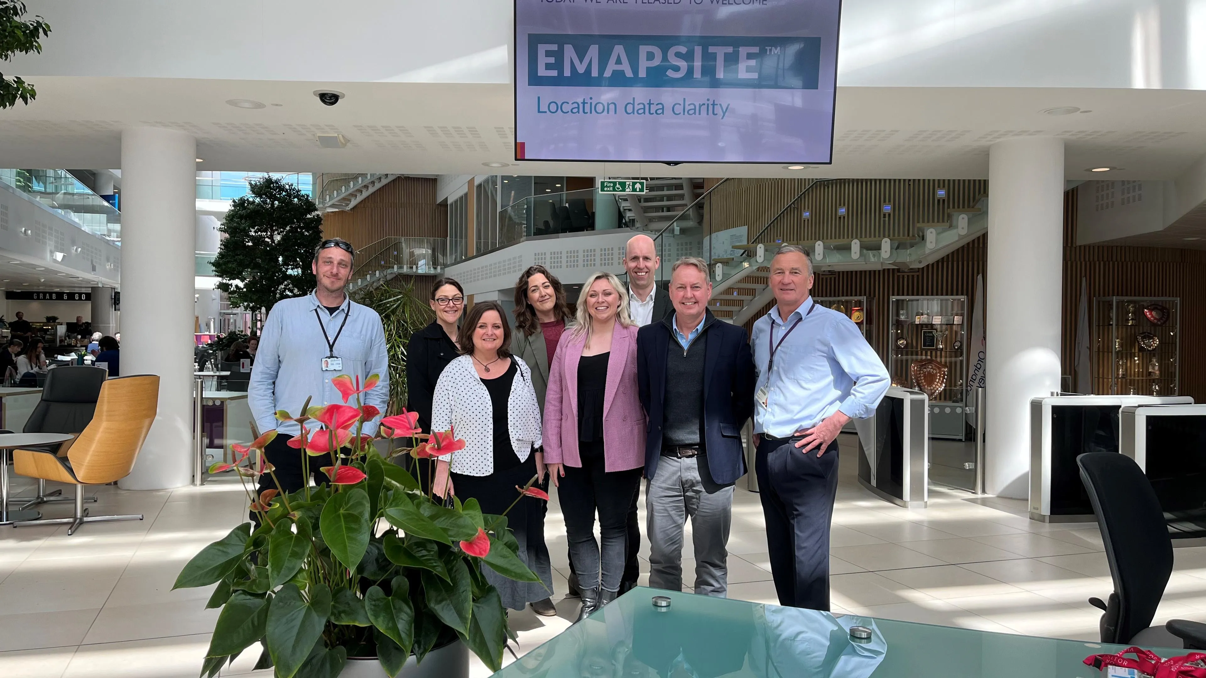
Why OS strategic partnerships unlock value
Emapsite, an OS Strategic Partner, recently engaged in a collaborative session with the OS product team to deepen their understanding of the National Geospatial Database.
- Blog
A helping hand for London’s cabbies
Learn more about how OS data is underpinning a new and innovative mapping app for London Taxi drivers.
- Blog
Ordnance Survey supports launch of open geospatial data in Scotland
Improvement Service in Scotland, supported by Ordnance Survey, has launched open access to their Spatial Hub, a local government data resource covering the whole of Scotland.
- Blog
Two teachers recognised with OS Award
Both teachers received awards for excellence in geography education at secondary level.
- Blog