Blog
Read location data and geography related stories and commentary
Filters (1)
- Page 1
- Blog
- Blog
- Blog
- Blog
- Blog
- Blog
- Blog
- Blog
- Blog
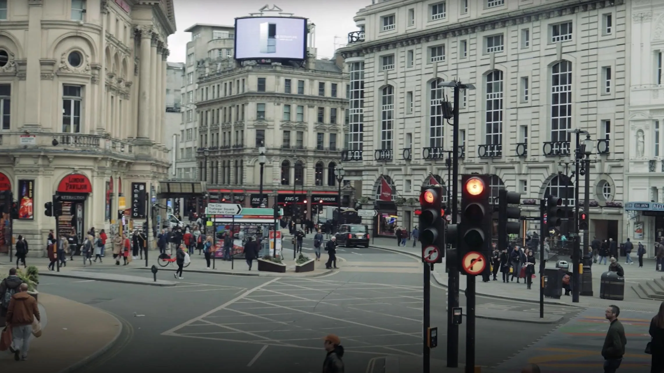
A helping hand for London’s cabbies
Learn more about how OS data is underpinning a new and innovative mapping app for London Taxi drivers.
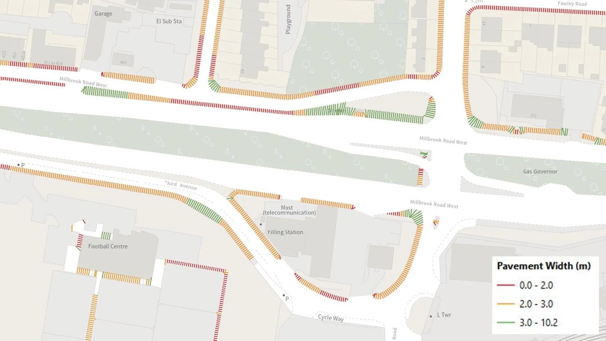
Analysing pavement widths using OS Select+Build
Examining the methodology behind the creation of pavement widths data.
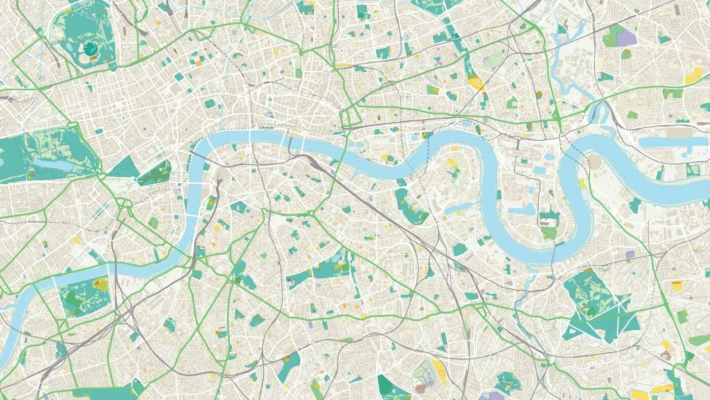
Developing geospatial skills for Data Scientists
A new geospatial module from OS was delivered to the first cohort of graduates enrolled on the Public Sector Data Science Graduate Programme.
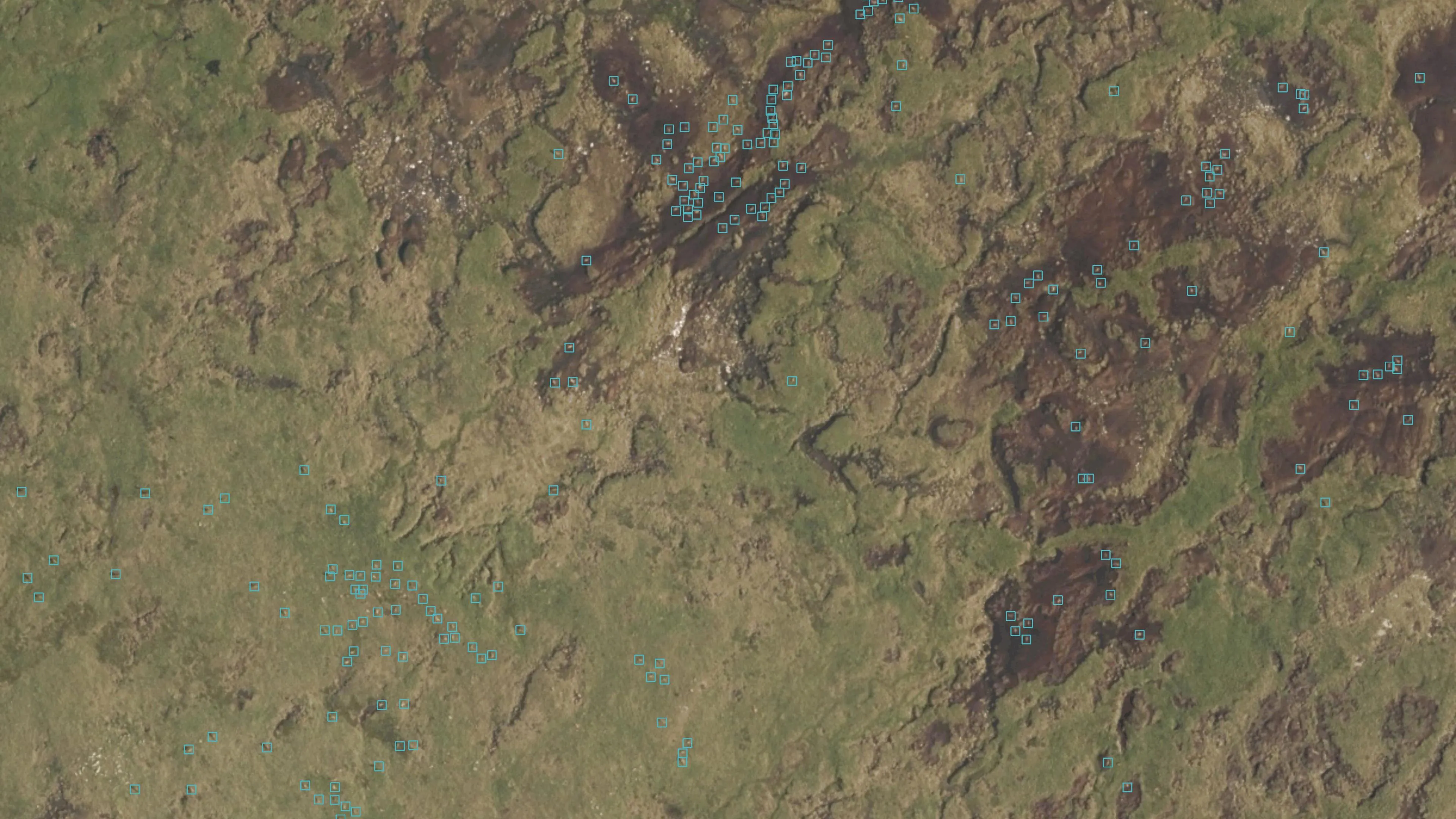
Geovation Scotlands’s EOLAS Insight are the first UK company to detect animals using satellite imagery
Since its launch in 2009, Geovation, Ordnance Survey’s (OS) geospatial innovation hub, has welcomed and supported a plethora of innovative and sustainably focussed start-ups.
Discover more with new OS Maps 3D feature
Discover more with Ordnance Survey's new Maps 3D feature.
“It's a personal green mission: to get climate data into the hands of the people who need it.”
OS Innovation Lead Donna Lyndsay has published a report showcasing the benefits of space-based heat data.
The latest PropTech start-up off the Geovation conveyor belt
How authoritative location data and Geovation's Accelerator Programme helped PropTech start-up HomeFinder thrive.
Historic England – staying up-to-date with history
Historic England's new aerial photo explorer made possible thanks to the OS Data Hub.
The sky’s the limit
OS explains how increased investment and capability in UAS technology has resulted in better value for our customers
