Blog
Read location data and geography related stories and commentary
Filters (1)
Page 1
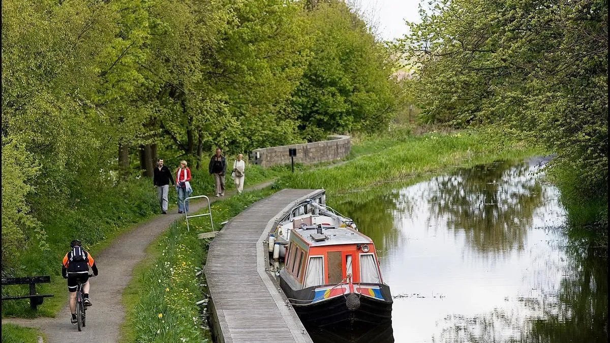
Why canal towpaths are good for people, the environment, and local economy
Scottish Canals have used Ordnance Survey (OS) data to help manage and maintain Scotland’s historic 141-mile canal network, providing numerous benefits for local communities.
- Blog
Improving health outcomes for care home patients, with the NHS Business Services Authority
The NHS Business Services Authority (NHSBSA) is using Ordnance Survey (OS) data to gain new insights that could help improve the health of people over 65 living in care homes.
- Blog
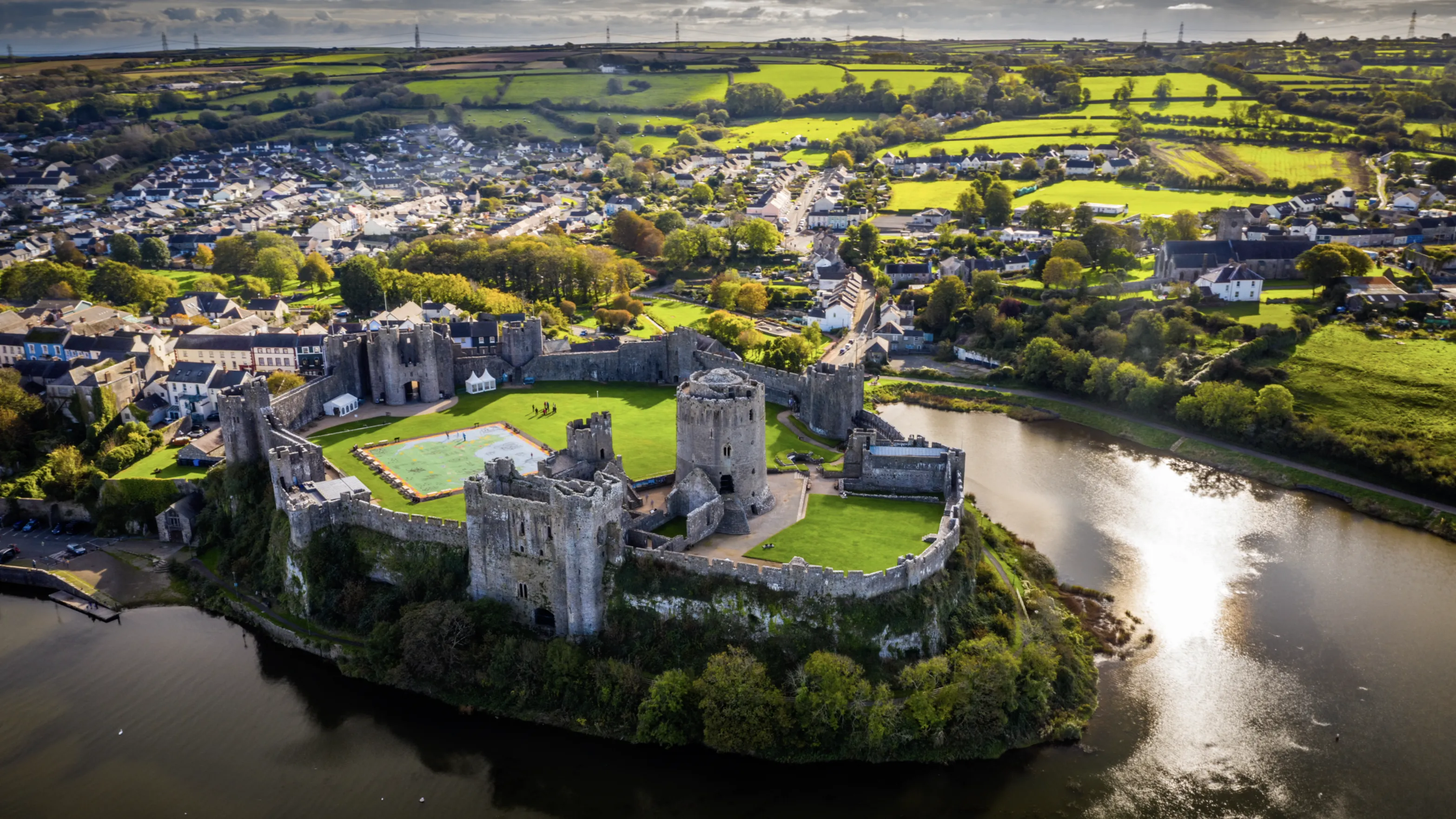
How Ordnance Survey is making an impact in Wales
Geospatial data from OS is a critical tool for the Welsh Government, helping teams deliver a range of improved services in health, transport and more
- Blog
Ordnance Survey's favourite maps of 2022
Our GeoDataViz team has been looking back at the maps and data visualisations that caught their eye in 2022.
- Blog
The Monarchy’s legacy on place names in Great Britain
A look into the monarchy's legacy on the names of roads, places and pubs in Great Britain.
- Blog
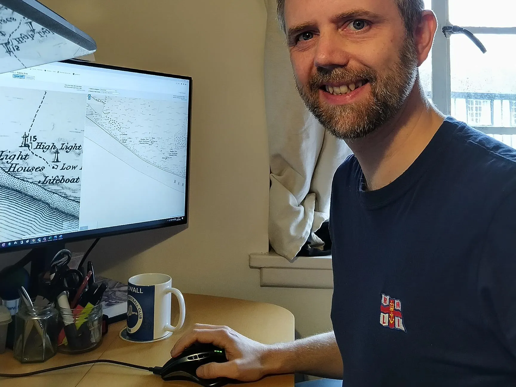
Volunteering with RNLI
Staff at Ordnance Survey can take a Volunteer Day; Lee Harvey, Surveyor, shares his experience volunteering for the RNLI.
- Blog
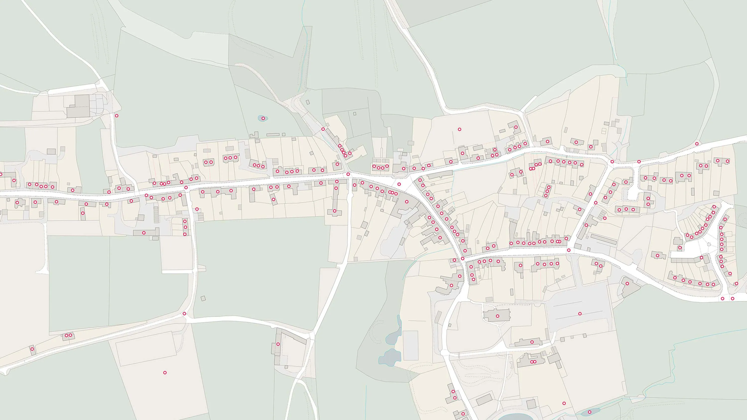
UPRNs and the property lifecycle
UPRNs can improve address data management for addressable locations, throughout every stage of the property lifecycle.
- Blog
Analysing access to greenspaces during a pandemic
Office for National Statistics report shows that one in eight GB households has no access to a private or shared garden during the Covid-19 lockdown.
- Blog
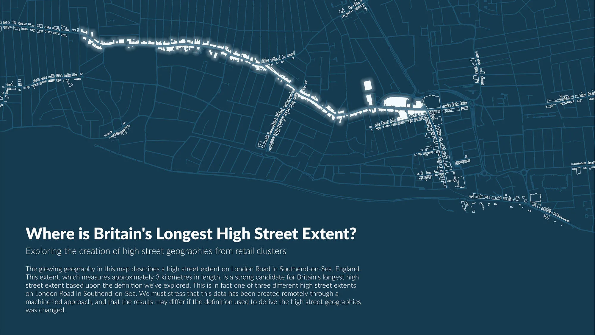
OS and ONS release report on the geography of Britain’s high streets
We’ve been working with the Office for National Statistics (ONS) to define and analyse Britain’s high streets.
- Blog