Our accuracy statement for current OS Net stations and transformation.
Passive stations
The standard error of our passive network is 0.055m in plan and 0.066m in ellipsoidal height at 95% confidence level.
Search for passive GPS stations
OS benchmarks
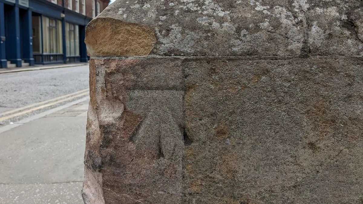
Ordnance Survey (OS) benchmarks and their heights haven't been regularly maintained for over 40 years. The figures here are a guide for the accuracy standards when benchmarks were being maintained.
The figures in the table only relate to marks heighted relative to ODN (Ordnance Datum Newlyn). The table shows the expected maximum error between benchmarks on the same levelling line up to 4km apart. Treat levelling lines less than 1km as 1km.
Order of vertical control |
Maximum error (mm) |
Geodetic (1st order) |
+/- 2mm x sq. root of distance levelled (km) |
Secondary (2nd order) |
+/- 5mm x sq. root of distance levelled (km) |
Tertiary (3rd order) |
+/- 12mm x sq. root of distance levelled (km) |
Triangulation stations
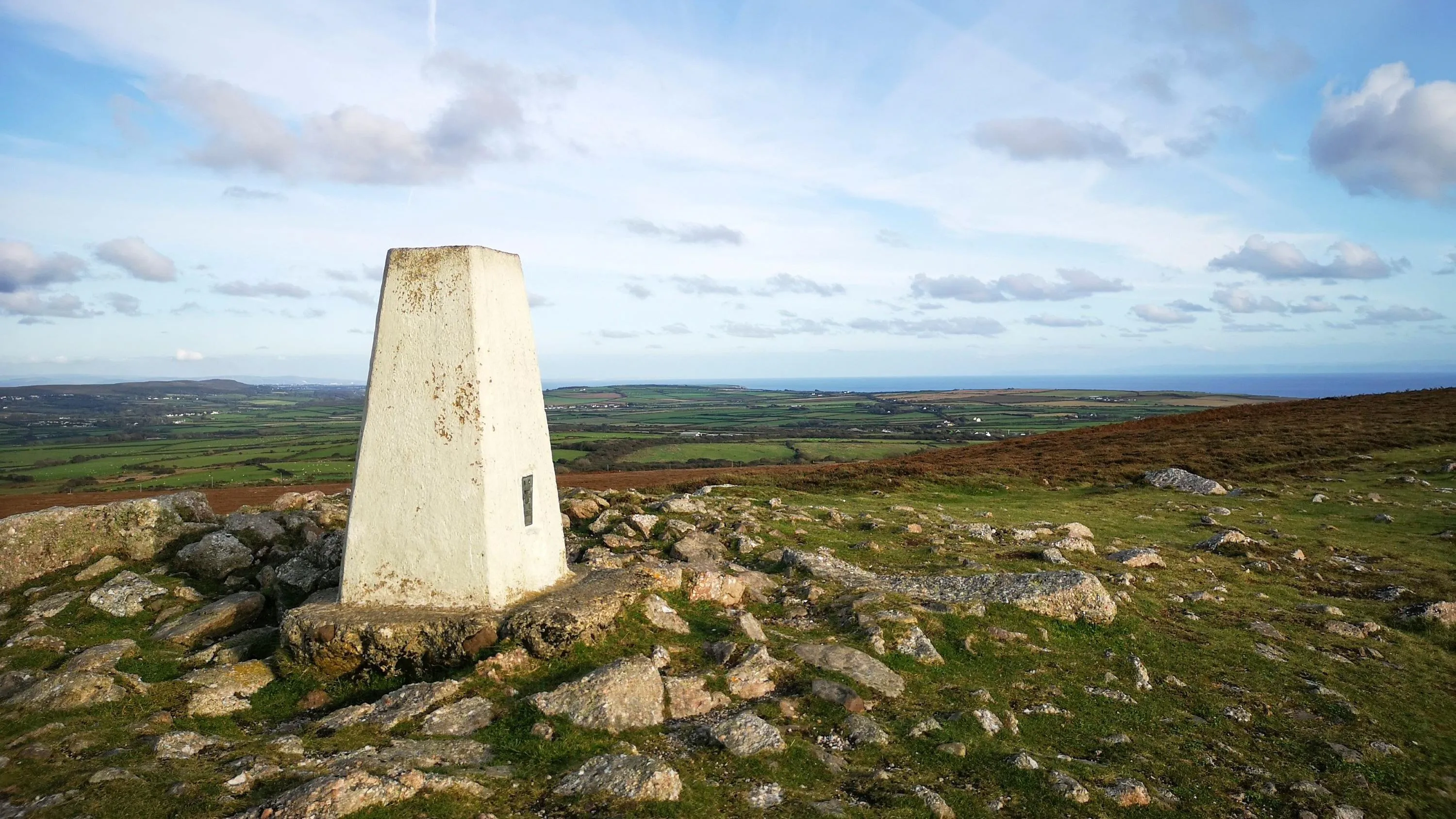
OSGB36 trigs are no longer maintained. The figures here are a guide to the accuracy standards when they were being maintained.
This shows the expected accuracy of stations in relation to others of the same type with the circular area of a given diameter.
Type of control station |
Expected accuracy (1 sigma, m) |
Diameter of circular area (km) |
Primary trig station |
Error free |
N/A |
Secondary trig station |
0.06m |
15km |
Tertiary trig station |
0.05m |
7km |
Minor control station |
0.04m |
3km |
Chain survey station |
0.08m |
3km |
Map detail station |
0.06m |
2km |
The expected accuracy (1 sigma) of one type of control station in relation to another of a different type is shown in the table below. In these cases the expected accuracy applies within the smallest diameter of circular area (from table above) pertaining to the stations used.
|
Primary trig station |
Secondary trig station |
Tertiary trig station |
Minor Control station |
Chain survey station |
Map detail station |
Primary trig station |
0.00m |
|
|
|
|
|
Secondary trig station |
0.06m |
0.06m |
|
|
|
|
Tertiary trig station |
0.08m |
0.08m |
0.05m |
|
|
|
Minor control station |
0.09m |
0.09m |
0.07m |
0.04m |
|
|
Chain survey station |
0.12m |
0.12m |
0.11m |
0.09m |
0.08m |
|
Map detail station |
0.11m |
0.11m |
0.09m |
0.08m |
0.10m |
0.06m |
For example, the expected accuracy between a secondary trig station and a minor control station is 0.09m. This is with a circular area of diameter of 3km, which is the lesser of 15km for secondary trig and 3km for minor control (from the first table).