Our full data packages can be downloaded via the OS Data Hub, including our OS OpenData which is free to use by anyone. You can find out if our premium data products are right for your business by sampling some of our products. By downloading our sample data packages, you agree to the terms of the Data Exploration licence (PDF).
Explore sample data
Try out OS data by downloading sample data packages
Types of data from Ordnance Survey
It’s important to know what works for your business, and what kinds of data you’ll need for your project
Addresses and names data products
Discover authoritative location intelligence with OS’s addresses and names datasets, relating to addresses, UPRNs, named features, and places.


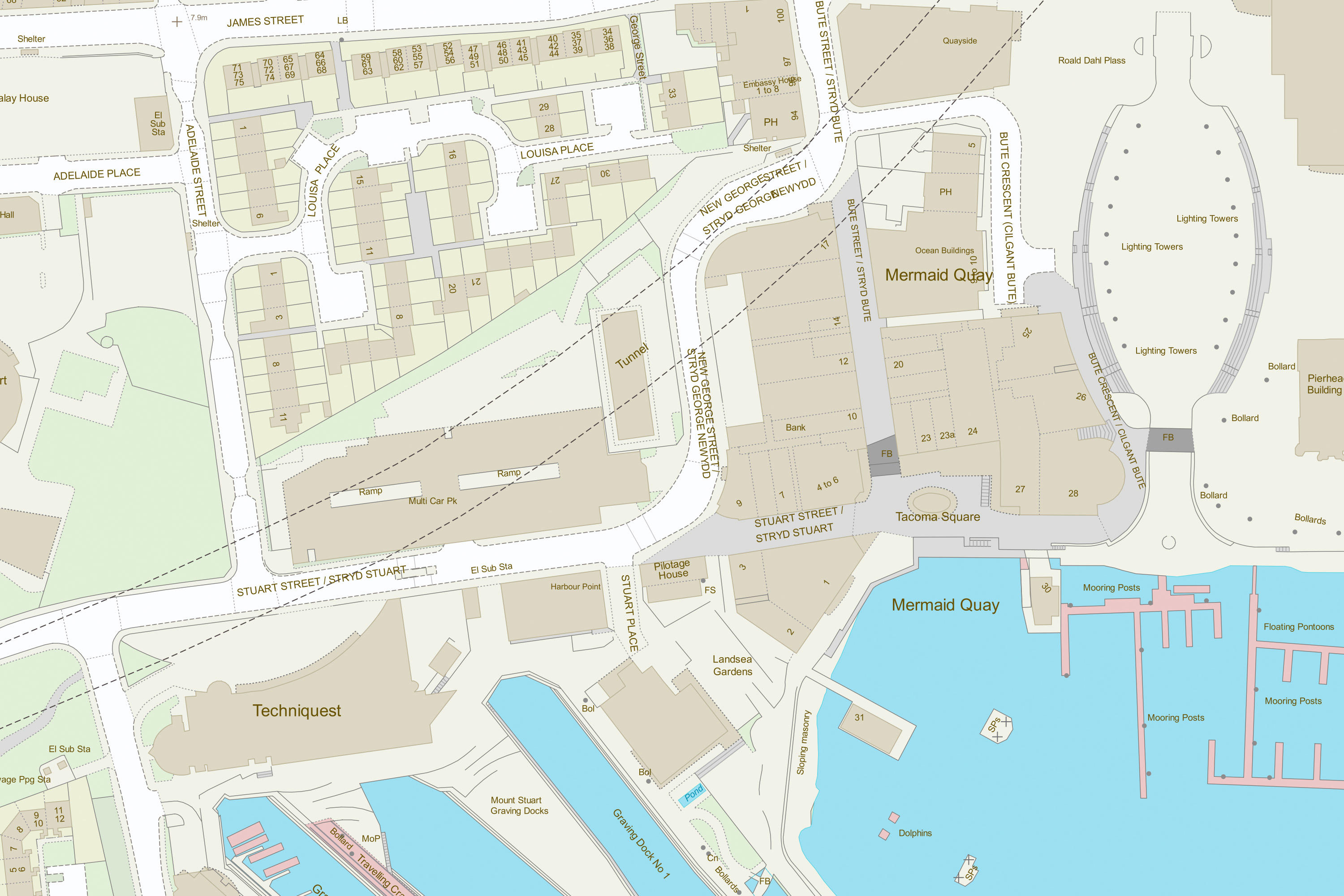
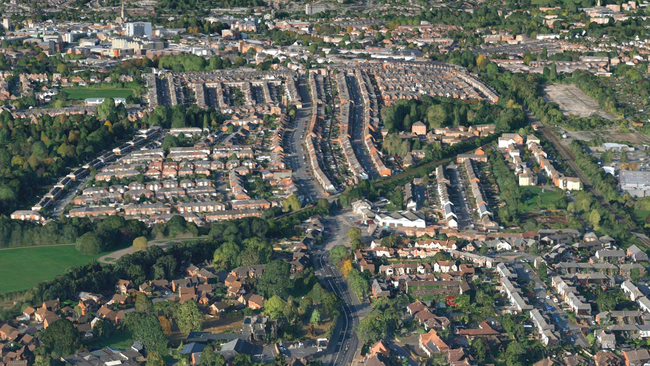
Maps and imagery data products
Mapping data designed to provide visual context and simple analysis.


Transport network data products
Data about roads, paths, trams, ferries and railways.


Buildings and infrastructure data products
Explore mapping data designed to provide information about the built environment.


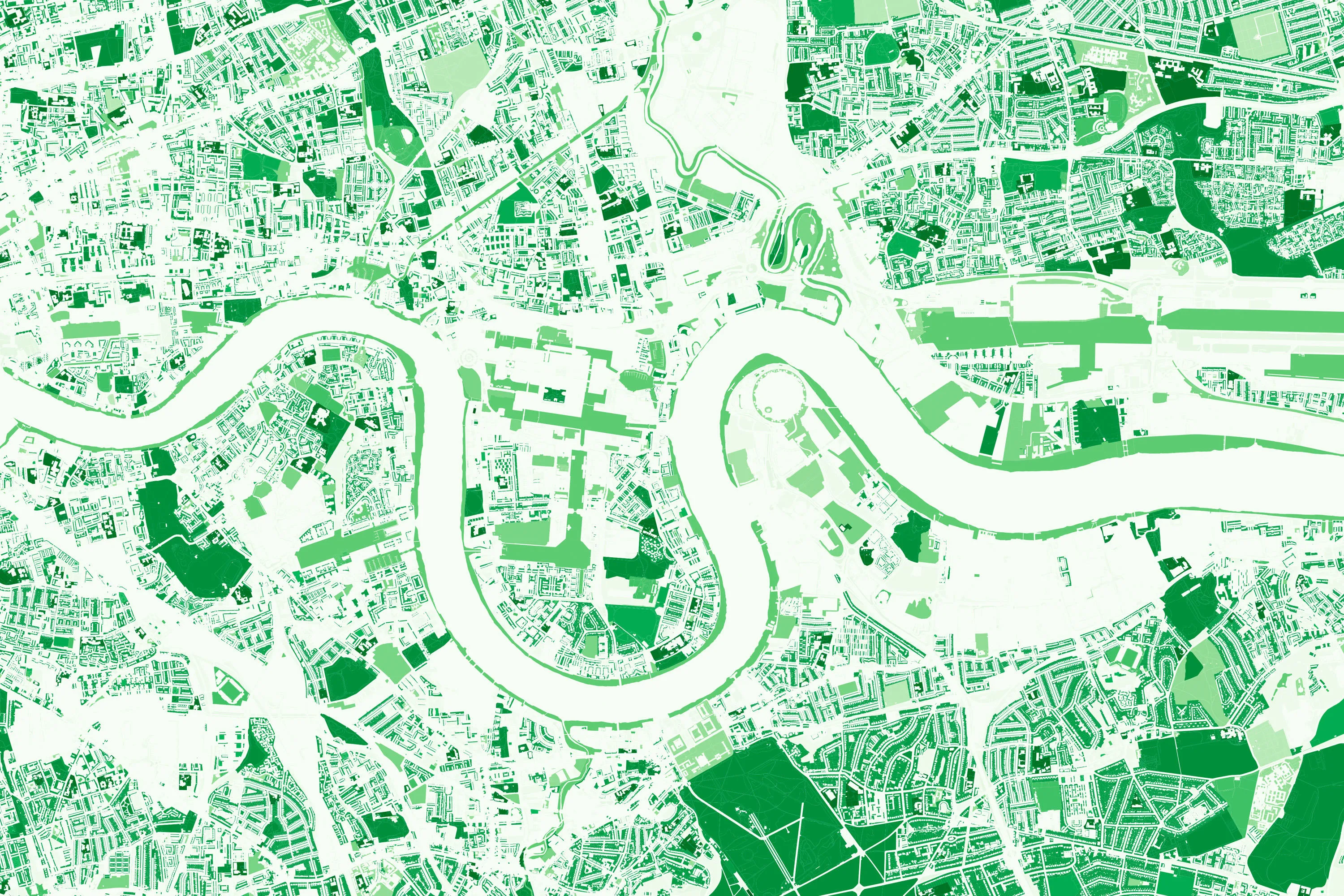
Land and terrain data products
Explore mapping data designed for land cover, land use, and elevation.


Water data products
Explore mapping data designed for water bodies, tidelines and river networks.


Areas and zones data products
Explore mapping data designed to provide information about areas used for administration and analysis.

Code-Point with Polygons
Code-Point with Polygons shows the notional shape of every postcode unit in Great Britain including buildings with multiple postcodes.
Get a bespoke solution
One or more of our Partners will have already used our data to develop a solution that works for you and your business
If you require support or technical expertise from simply translating the data into your system or a more bespoke solution that uses our premium products, try contacting one of our Partners.