Ordnance Survey helped to enable a master source of address information to be collated into a central hub that Scottish Water, their partners, and agencies, can use to seamlessly manage the lifecycle of an address.
Case studies
Discover how Ordnance Survey data is driving more efficient decisions in organisations like yours
Filters (0)
Showing 17 results
Page 1

Delivering estimated savings of around £1 million, Northumbrian Water and Ordnance Survey (OS) created the first Underground Infrastructure Hub for the North East.
Northumbrian Water provides water and wastewater services to just under 4.4 million people.
In 2018 it asked OS...

Morrison Data Services (MDS) is the largest independent multi-utility metering services company operating in the UK. It supports critical energy and water providers including British Gas, EDF, Thames Water, and Southern Water. With over 50 million energy and 9 million water meter readings made an...

Torfaen County Borough Council is using OS NGD data to maintain the areas of land it covers.

Combining Dauntsey Parish local knowledge with Ordnance Survey (OS) digital maps to undertake a professional analysis of local flood impacts and risks.
- Dauntsey in north Wiltshire has experienced serious flooding, affecting as many as 44 homes.
- Using Geographic Information S

Aiding the planning of land management and restoration in conservation areas with a Land Cover Map.
The South Pennine Moors Special Area of Conservation covers around 650km² of northern England. Since 2003, the Moors for the Future Partnership (MFFP) has been working to reverse more t...
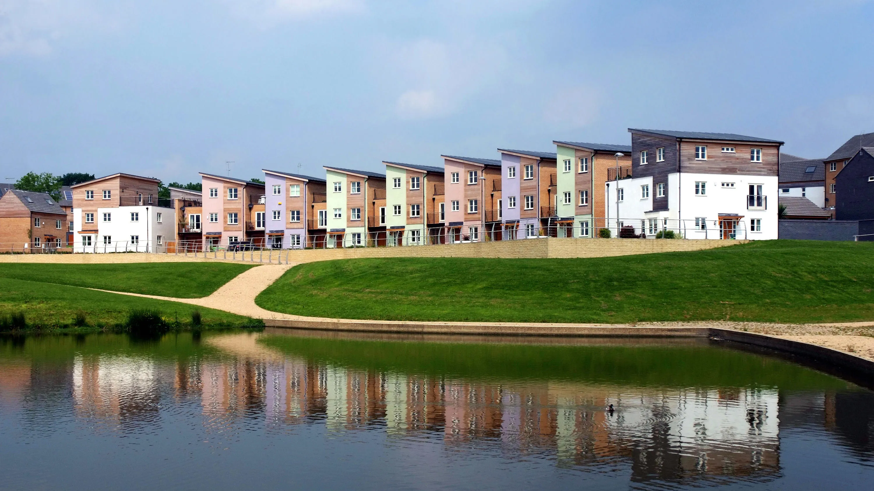
Supporting local economic growth in Milton Keynes with geospatial data.
Ordnance Survey (OS) provides geospatial datasets to help the MK:Smart Future Cities project in Milton Keynes.
MK:Smart Future Cities project (MK:Smart) is a large collaborative initiative, partly funded by HEFC...

Scottish and Southern Energy (SSE) maintains 48,500km of high-voltage overhead power lines supported by wooden poles in Great Britain.
Ordnance Survey (OS) helped SSE to locate problems more efficiently, without the need for multiple site visits, as described in this case study.

Department of Energy and Climate Change (DECC) works with Ordnance Survey (OS) to make sure the UK has secure, clean and affordable energy supplies.
DECC has combined data from a number of different sources to create the National Energy Efficiency Data-Framework (NEED) which is used to eff...
You have viewed 9 of 17 case studies