Insurance is an industry built on risk. But success depends on knowing exactly what the risks are, where they are and how likely they are to strike.
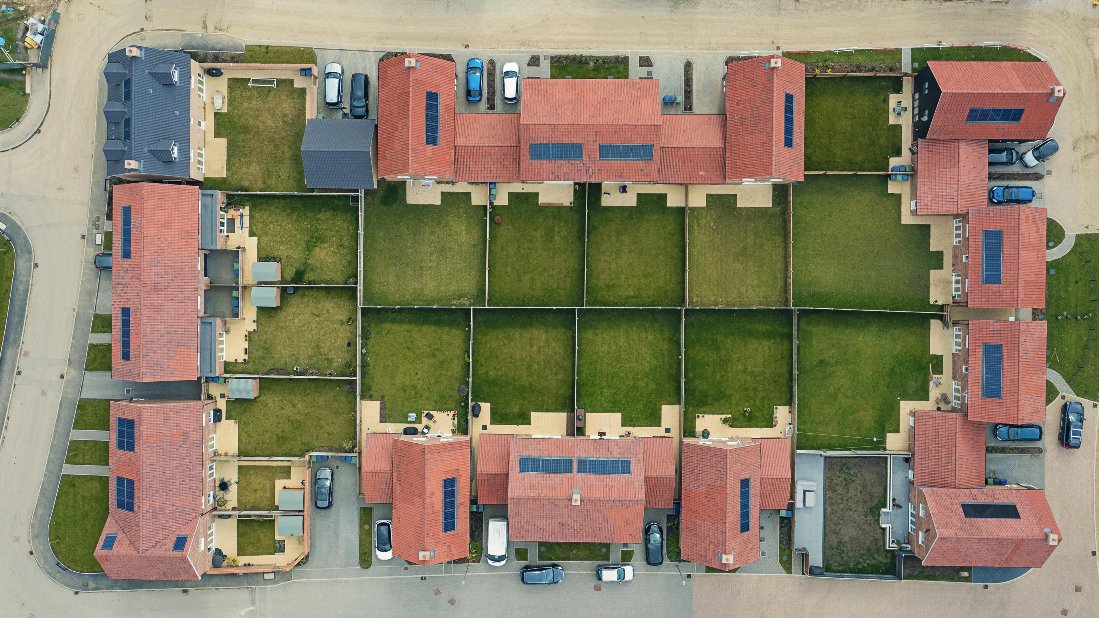
With Ordnance Survey (OS), get precise location data that goes beyond the address to deliver more meaningful, actionable insights that put you ahead of the competition. So, you can mitigate accumulation risks, build 360-degree risk models with combined address, buildings, and transport data, speed claims resolutions, reduce fraudulent claims, and more, with a geospatial information system, GIS, for insurance available from our partners.
Get complete confidence in your decisioning and build a more personalised service, with OS data.


